
🇬🇹 The Castle of San Felipe de Lara
(Castillo de San Felipe de Lara)
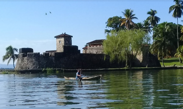
is a Spanish colonial fort at the entrance to Lake Izabal in eastern Guatemala.
Lake Izabal is connected with the Caribbean Sea via the Dulce River and El Golfete lake. The fort was strategically situated at the narrowest point on the river. The Castillo de San Felipe was used by the Spanish for several centuries, during which time it was destroyed and looted several times by pirates
The fort is listed on the UNESCO World Heritage Tentative List and is a popular regional tourist destination.
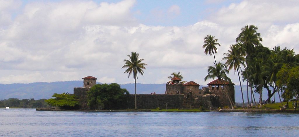
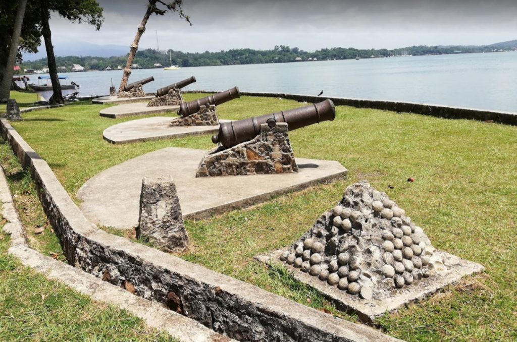
The Castillo de San Felipe was built to protect the port of San Antonio de las Bodegas on the south shore of Lake Izabal from frequent pirate attacks, mostly by English pirates.
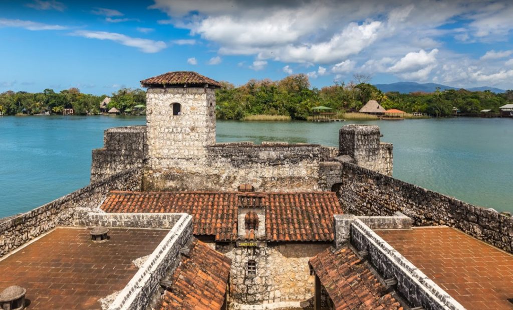
After nightfall, passage along the river into the lake was blocked by a large chain that crossed from the fort to the far bank. San Antonio was the main port for receiving Spanish shipping carrying goods for the Captaincy General of Guatemala and was responsible for supplying and garrisoning the fort. Guatemalan records contain details of captains being appointed to the fort well into the 18th century.
The position was a joint post, also including the position of mayor of San Pedro de Amatique and San Antonio de las Bodegas. The latter post was in name only, since the towns were soon abandoned due to constant slave raids by the Mosquito Zambo that left the Motagua delta and shores of Lake Izabal largely deserted, with those inhabitants that did not flee being sold into slavery in the British colony of Jamaica.
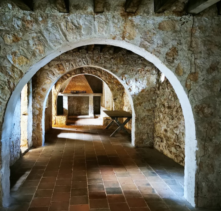
A tower already existed on the site by 1604, when it is recorded as having been destroyed. The fort was built in 1644 under the orders of Diego de Avendaño, then governor of the Kingdom of Guatemala. At the time it was known as Fuerte Bustamente (“Bustamente Fort”) and the Torreón de Defensa (“Defence Tower”).
The fort was redesigned in 1687 by Diego Gómez de Ocampo in the style of the French military architect Sébastien Le Prestre de Vauban. The modified design was implemented in 1689. Three bastions were functioning by 1697.
LOCATION YACHTING MAP
OLD MAP
