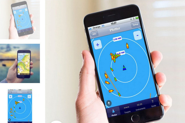
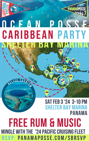
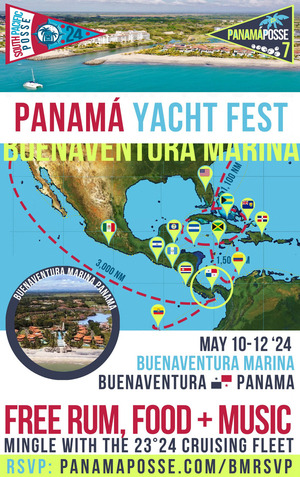
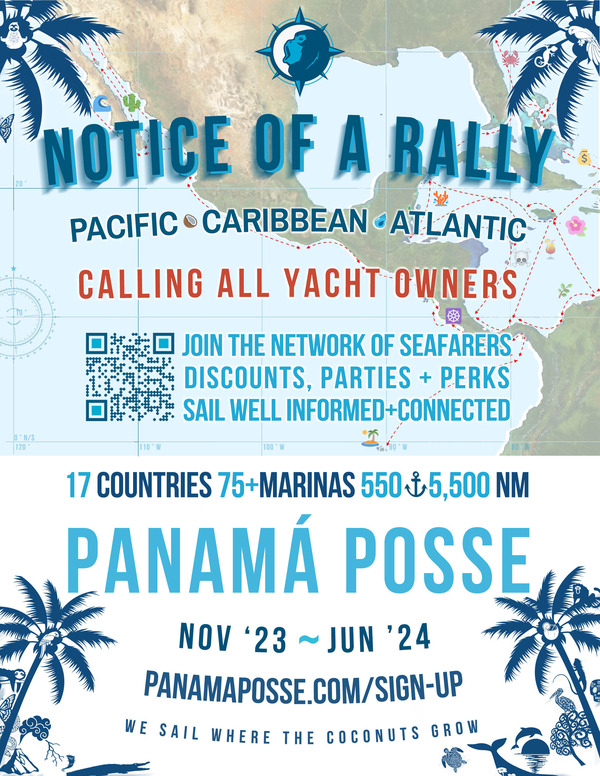
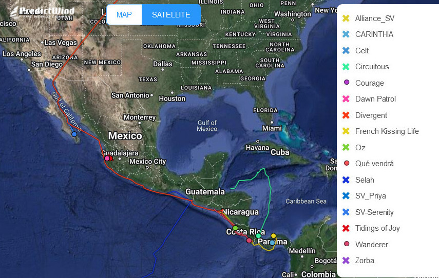
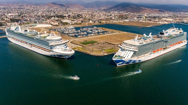
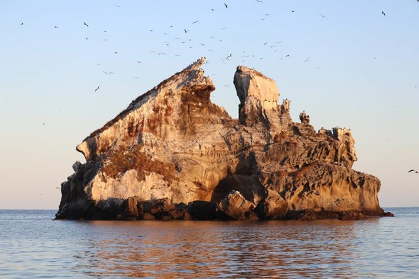
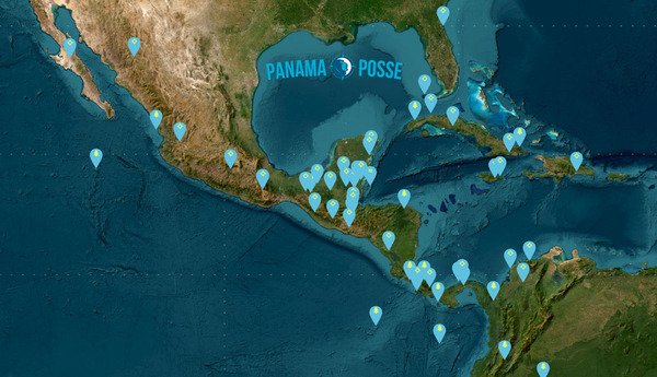
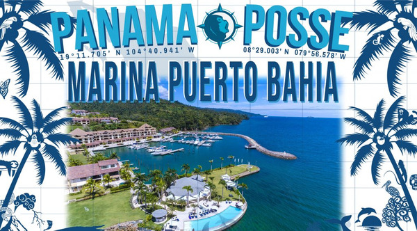
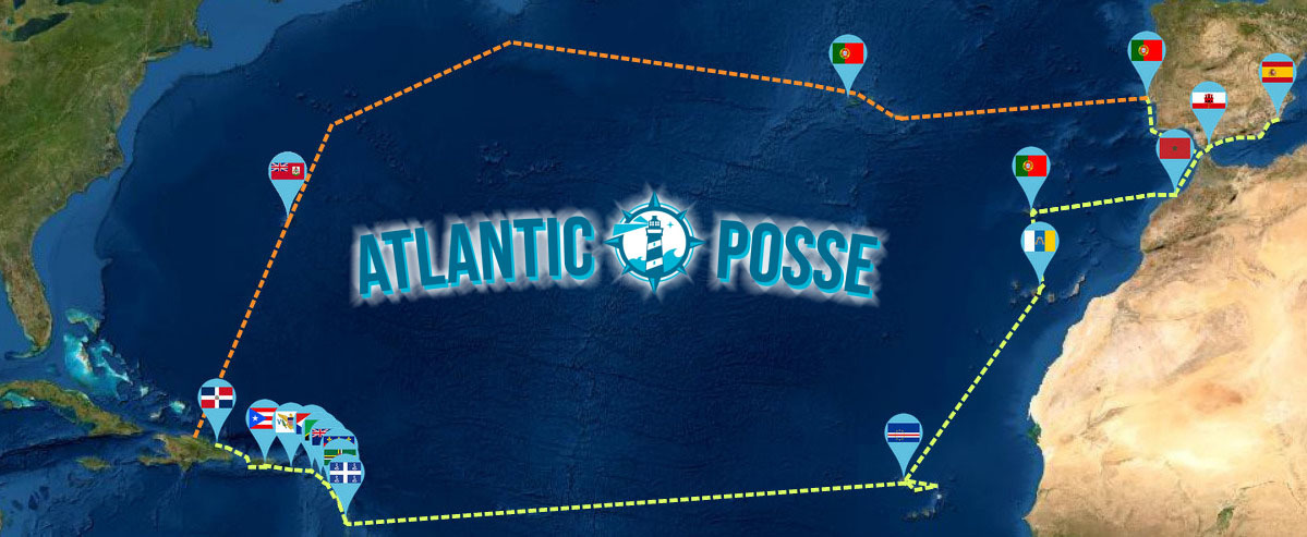
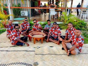
FLEET UPDATE 2023-09-03
|


|
|
|


|
|

|


|


|
|
|
|

|
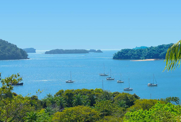
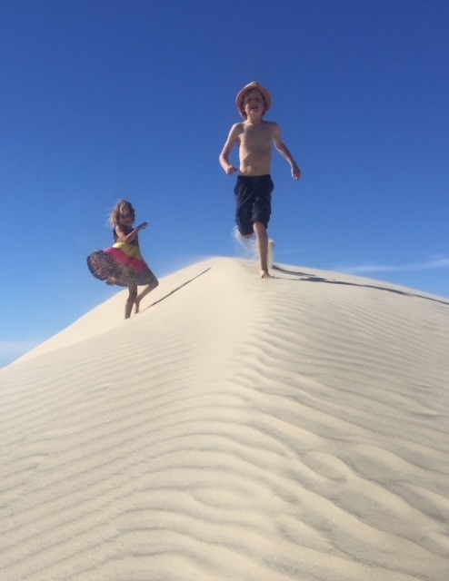
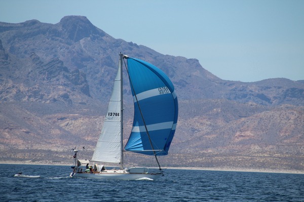
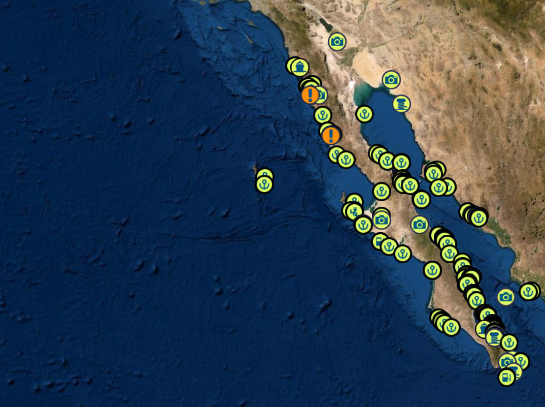
THE BAJA RUN
THE BAJA PENINSULA 750 NM WITH EASY DAY HOPS AND PLENTY OF ANCHORAGES
DANGERS
FOG - KELP - REEFS - SMALL PANGAS - EXPENSIVE FUEL IN TURTLE BAY - WHALES - STRONG NW WINDS
|
|
|
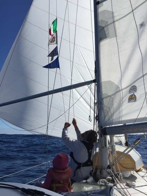
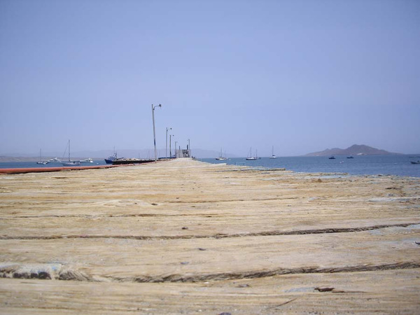
① Start at Cruiseport Village Marina Ensenada and do your Mexico check ins 31° 51.2766' N 116° 37.2433' W |
|
|
|
|
Once you have made it out of Ensenada without dropping to much cash at Hussong’s Cantina |
|
|
|
|
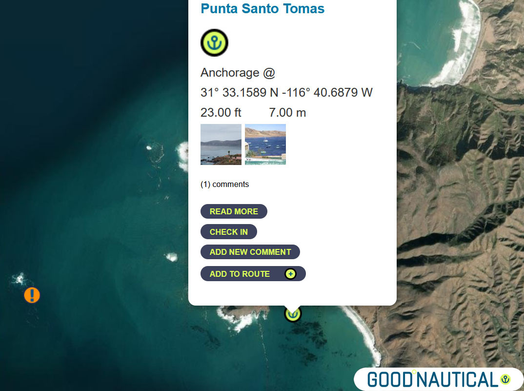
② head for Punta Santo Tomas at 31° 33.1589 N |
|
|
|
|
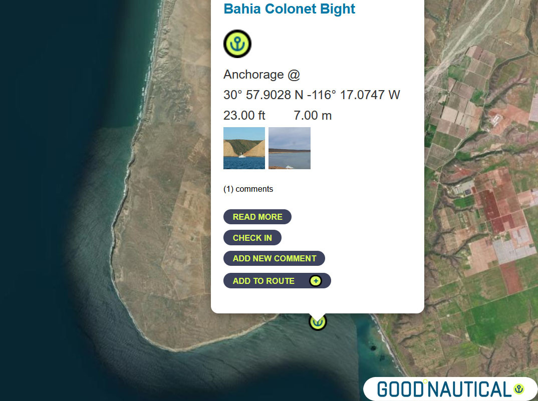
③ The next jump is either 40 nm to Bahia Colonet Bight 30° 57.9028 N 116° 17.0747 W - details at https://goodnautical.com/mexico-pacific/anchorage/bahia-colonet-bight |
|
|
|
|
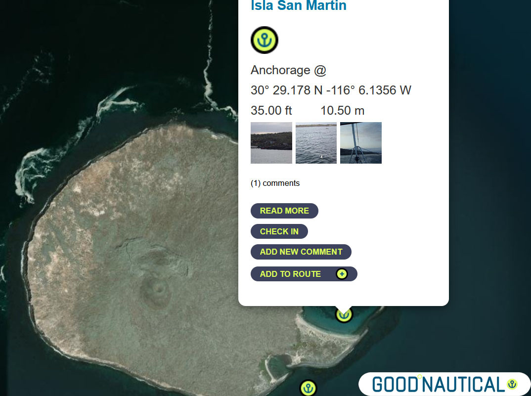
④ Or an extra 30nm Isla San Martin North bay 30° 29.178 N -116° 6.1356 W or South Anchorage depending on swell https://goodnautical.com/mexico-pacific/anchorage/isla-san-martin |
|
|
|
|
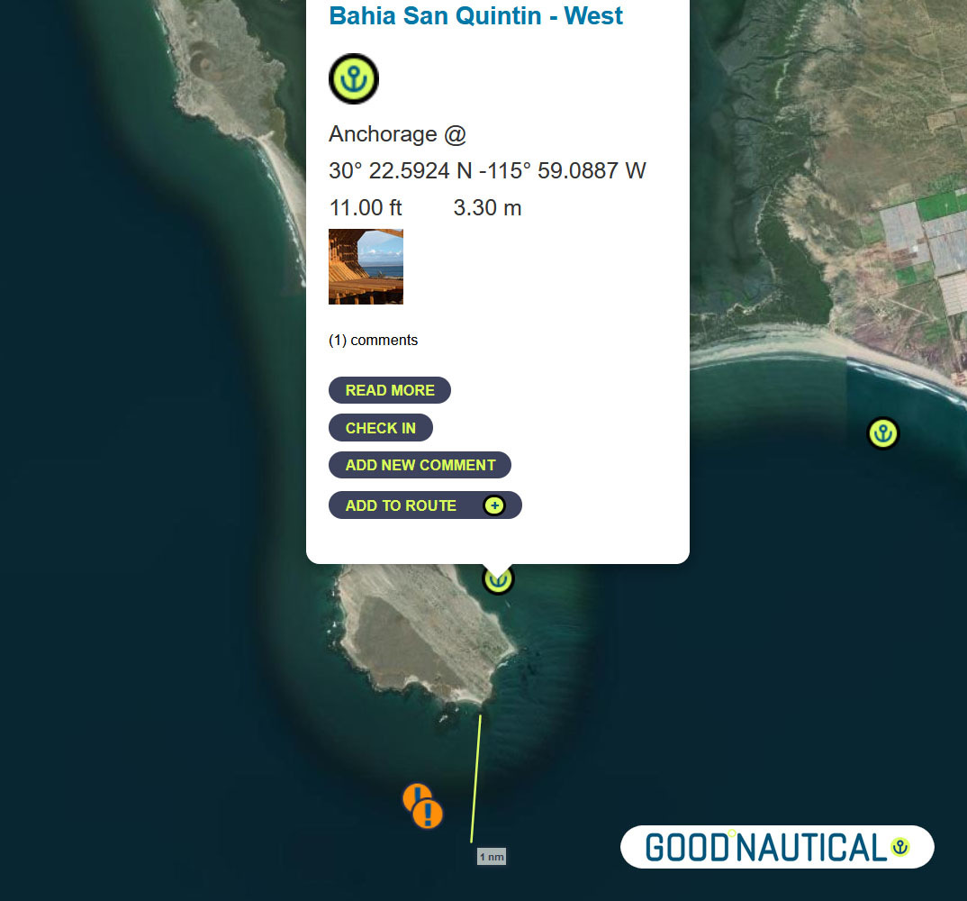
⑤For a more protective bay especially for those who wish to bash back up here is Bahia San Quintin https://goodnautical.com/mexico-pacific/anchorage/bahia-san-quintin-w and https://goodnautical.com/mexico-pacific/anchorage/bahia-san-quintin |
|
|
|
|
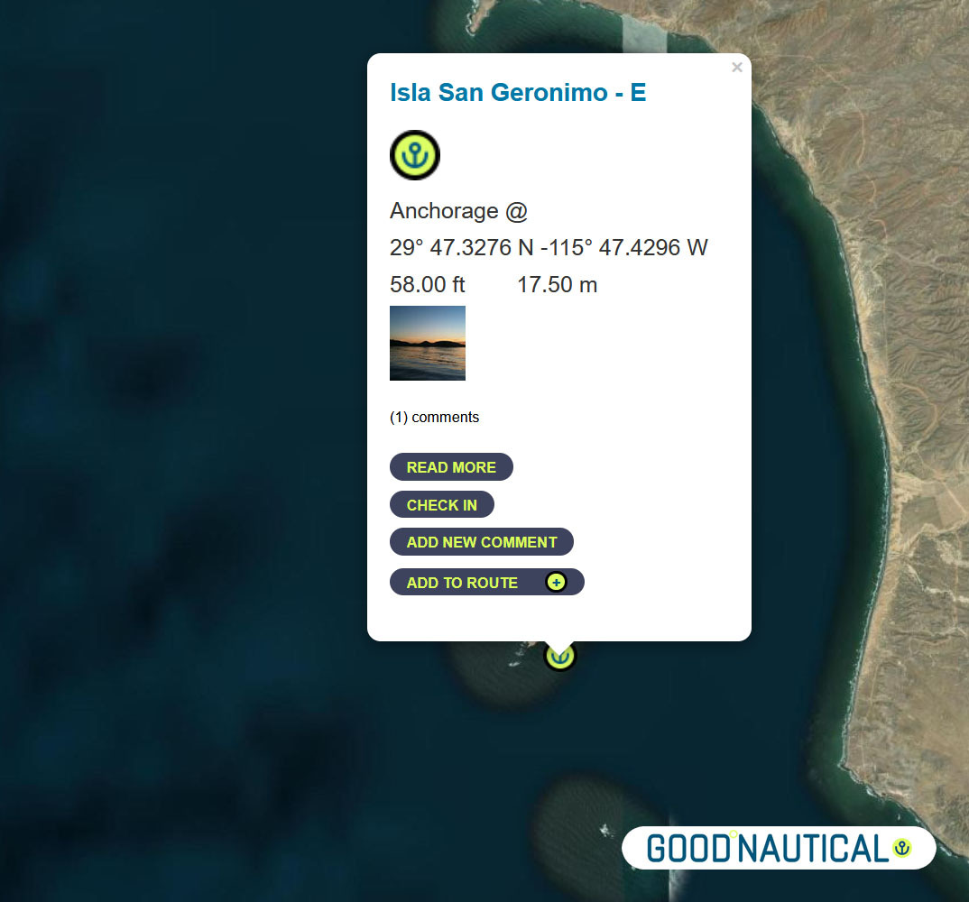
The ⑥ South of this - about 39 nm is a fair weather anchorage at 29° 47.3276 N 115° 47.4296 W behind ISLA SAN GERNOMIO - watch for 2 rocks south of it @ 29° 44.2191' N 115° 46.2265' W https://goodnautical.com/mexico-pacific/anchorage/isla-san-geronimo-e |
|
|
|
|
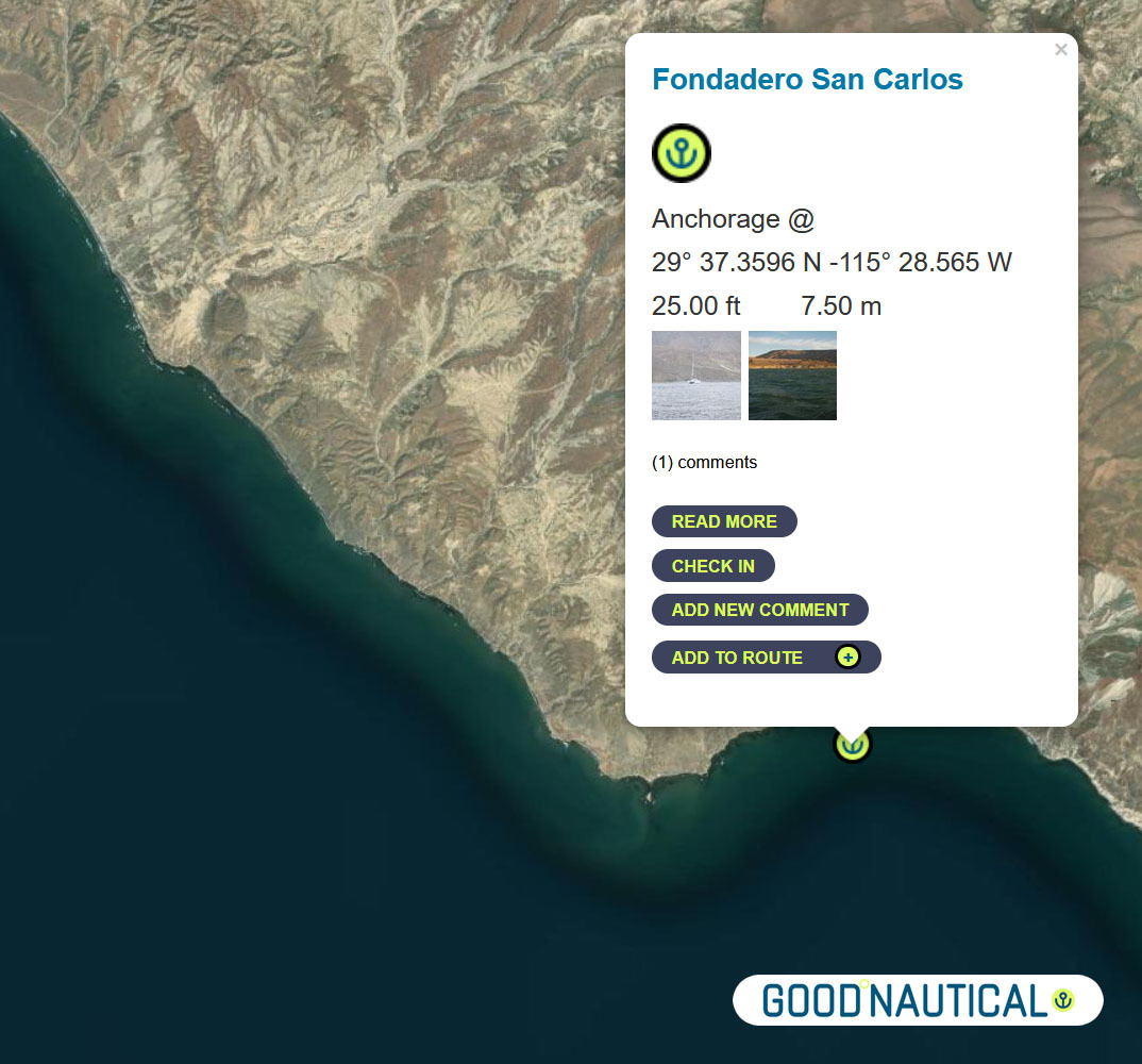
⑦ The next anchorage is a staple along the route FONDADERO SAN CARLOS Especially for those on a northbound track @ 29° 37.3596 N 115° 28.565 W This anchorage is 68 nm South of Sna Quintin - expect some kelp patches and shoaling on the northern bight https://goodnautical.com/mexico-pacific/anchorage/fondadero-san-carlos |
|
|
|
|
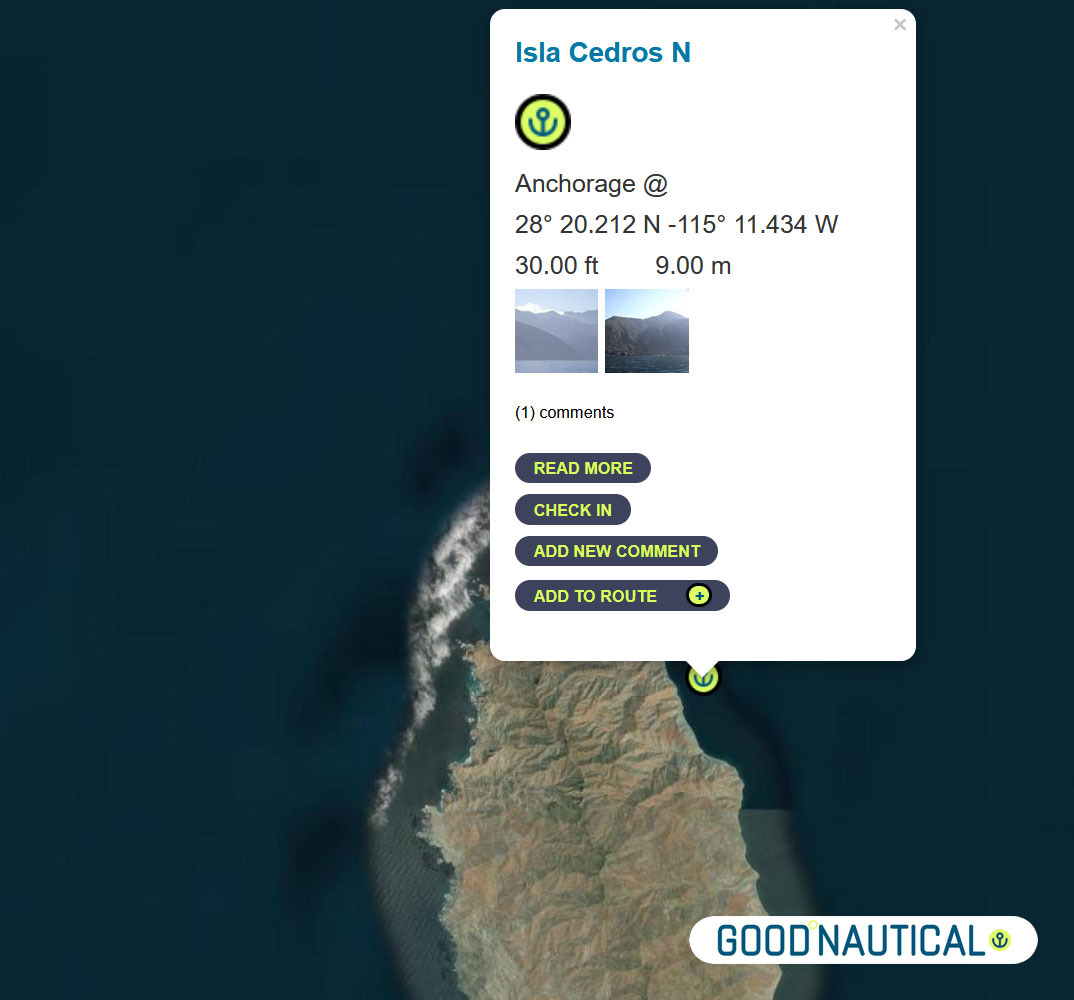
⑧ South ~ 80 nm across the bay of Sebastian Vizcaino is Isla Cedros N - aka the Cedros Island Yacht club anchorage at 28° 20.212 N -115° 11.434 W https://goodnautical.com/mexico-pacific/anchorage/isla-cedros-n Expect |
|
|
|
|
The east coast of Isla Cedros has several anchorages; the northern |
|
|
|
|
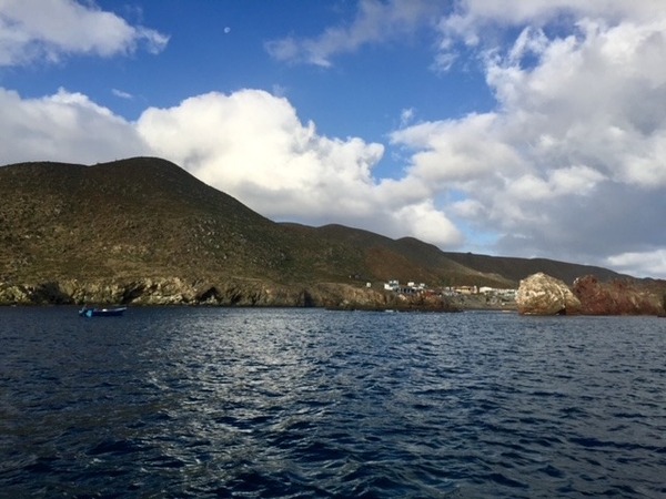
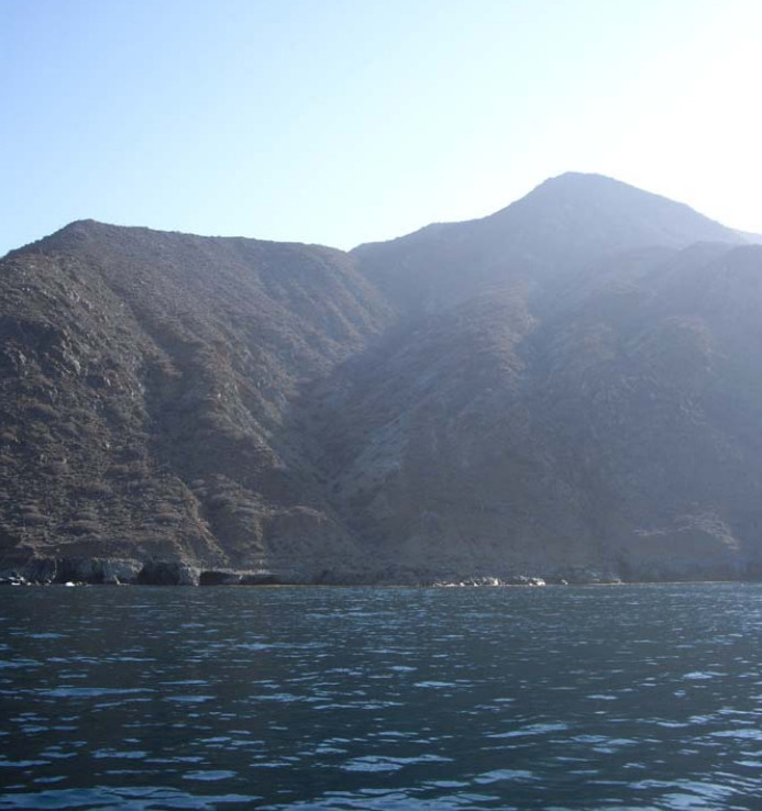
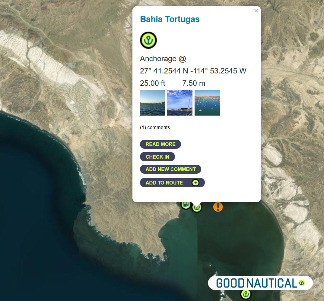
Bypassing a few anchorages on the East and South of Isla Cedros ~ ⑨50 nm south is Turtle Bay / Bahia Tortugas |
|
|
|
|
The locals will try to sell you fuel from pangas or via the fuel dock - |
|
|
|
|
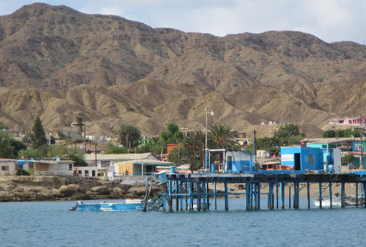
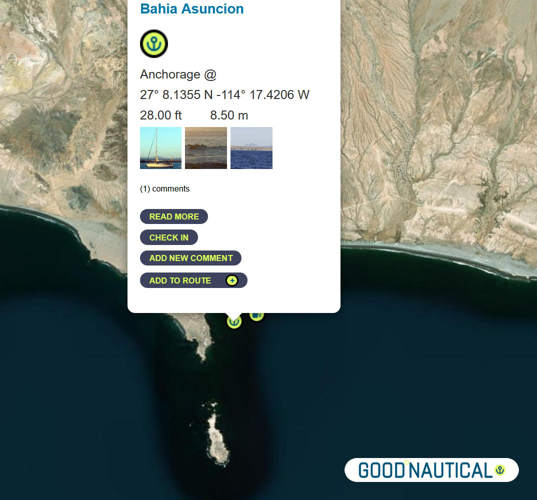
⑩ The next jump is about 50 nm to Bahia Asuncion 27° 08.1355 N 114° 17.4206 W https://goodnautical.com/mexico-pacific/anchorage/bahia-asuncion |
|
|
The |
|
|
|
|
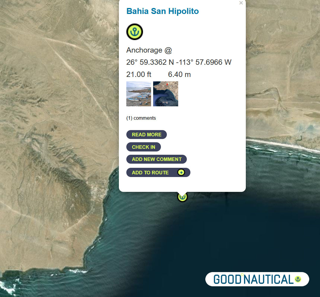
⑪Or push it another 24 nm to Bahia San Hipolito This
|
|
|
|
|
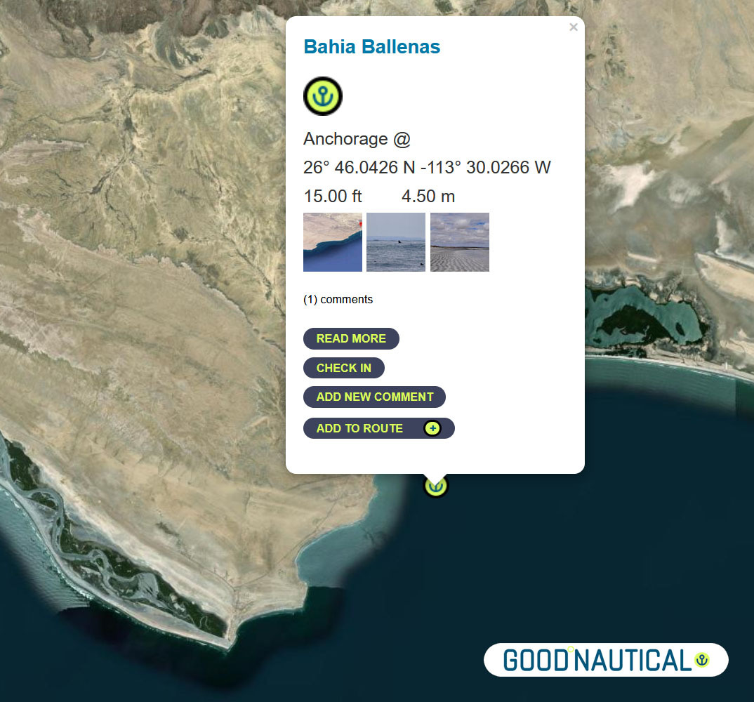
⑫A far more protected anchorage is 50 nm south of Bahia Asuncion or 105 nm south of Turtle bay is Bahia Ballenas @ 26° 46.0426 N -113° 30.0266 W https://goodnautical.com/mexico-pacific/anchorage/bahia-ballenas |
|
|
|
|
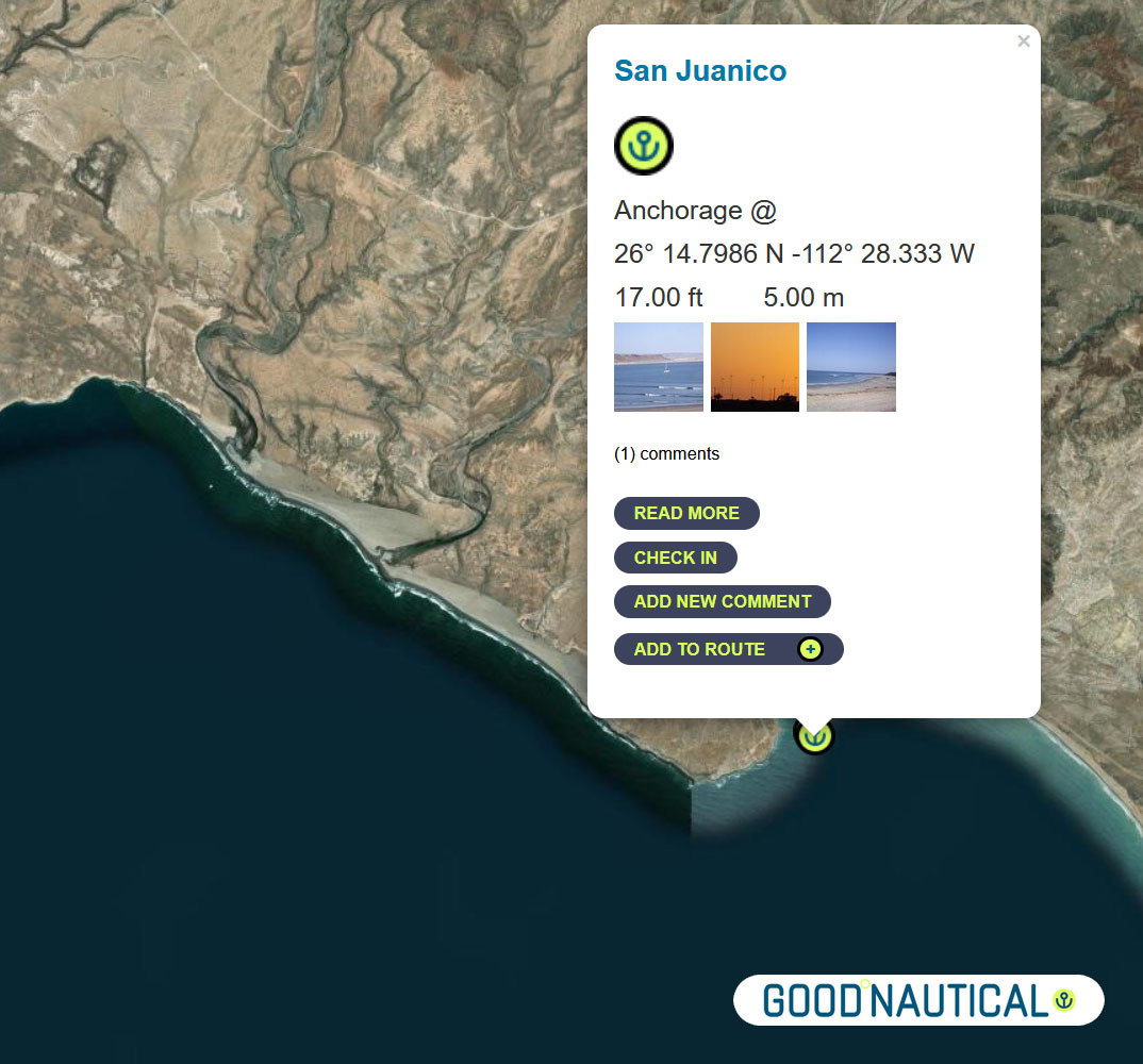
⑬ A prime spot along this coast is San Juanico / Scorpion Bay @ 26° 14.7986 N 112° 28.333 W about nm SE from Bahia Ballenas - with friendly locals and expats In |
|
|
|
|
|
|
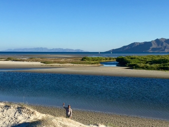
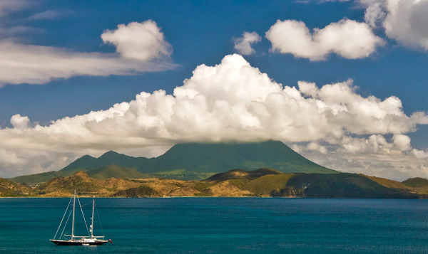
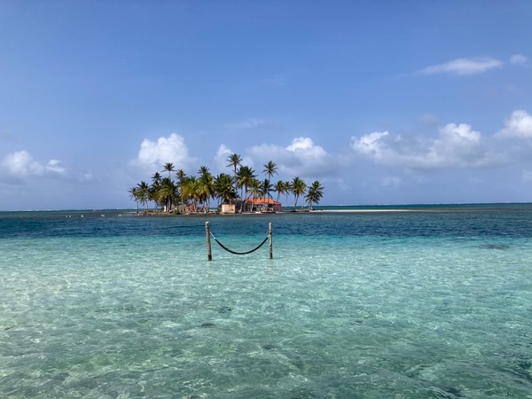
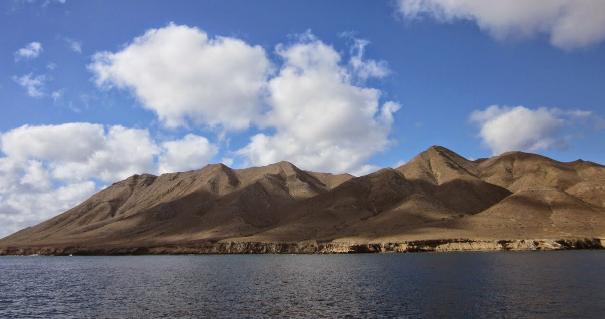
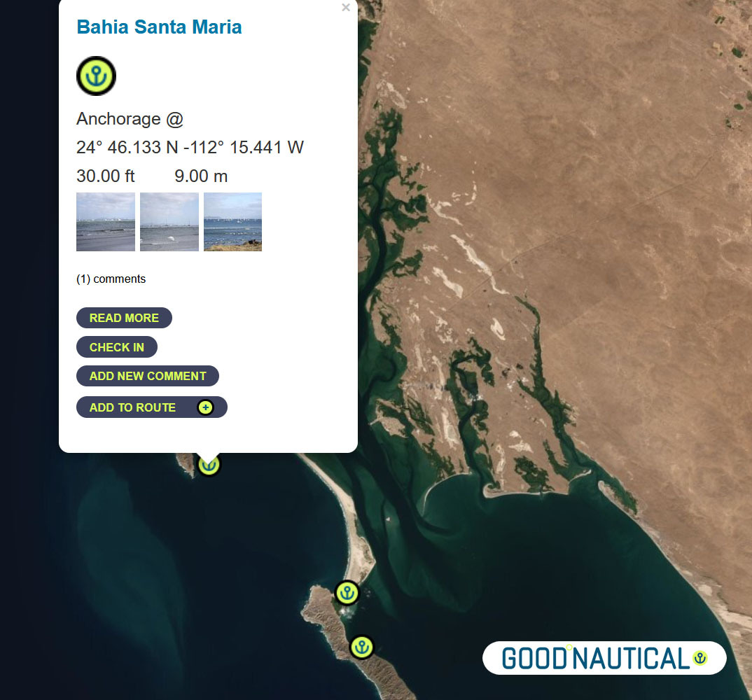
⑭Another 85 nm to Bahia Santa Maria |
|
|
|
|
Bahia Santa Maria |
|
|
|
|
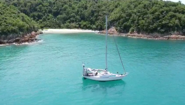
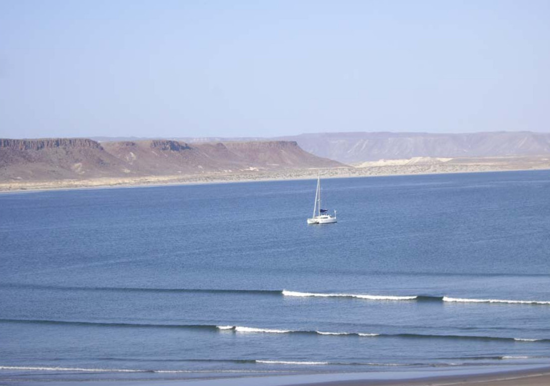
There is no permanent settlement in Bahia Santa Maria but a dinghy ride up
into river channels at the north end of the bay reveals a cluster of fishing shacks with brightly colored pangas tied up along the bank. From November to May itinerant fishermen stay in the bay to fish for tuna, jacks and dorado. |
|
|
|
|
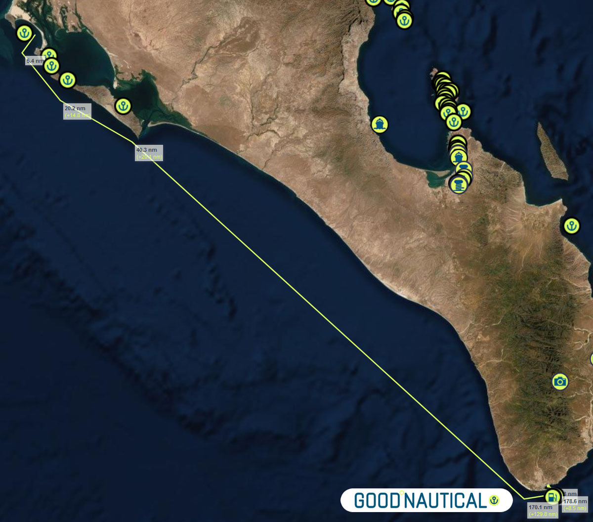
⑮The final jump an overnight sail to Cabo San Lucas ( WEEKEND MORNINGS ARE TOUGH IN CABO MANY FISHING VESSELS LEAVE A T THAT TIME SO TRY TO ARRIVE AFTER 9 AM ) ~ 185 nm with no real stops along the way - as soon as you round the |
|
|
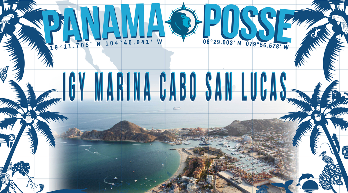
Make a reservation at our sponsorshop Marina IGY Cabo San Lucas - with Jesus A. Esquitel VHF 16 & 88A Tel +52 (624) 173-9140 CSL@IGYMarinas.com www.igy-cabosanlucas.com |
|
|
|
| ID | Location | Latitiude | Longitude | NM | |
| ⓪ | San Diego Police Dock | 32° 42.537' N | 117° 14.10543' W | - | ⛽💧 |
| ① | Ensenada Cruiseport Village Marina | 31° 51.2766′ N | 116° 37.2433′ W | 60.04 | ⛽💧 |
| ② | Punta Santo Tomas | 31° 33.1589 N | 116° 40.6879 W | 18.37 | |
| ③ | Bahia Colonet Bight | 30° 57.9028 N | 116° 17.0747 W | 40.65 | |
| ④ | Isla San Martin North Bay | 30° 29.178 N | 116° 6.1356 W | 30.24 | |
| ⑤ | Bahia San Quintin | 30° 22.5924' N | 115° 59.0887' W | 8.97 | |
| ⑥ | Isla San Gernomio | 29° 47.3276' N | 115° 47.4296' W | 36.71 | |
| ⑦ | Fondadero San Carlos | 29° 37.3596' N | 115° 28.565' W | 19.19 | |
| ⑧ | Isla Cedros N | 28° 20.212' N | 115° 11.434' W | 78.62 | |
| ⑨ | Turtle Bay / Bahia Tortugas | 27° 41.2544' N | 114° 53.2545' W | 42.16 | ⛽💧 |
| ⑩ | Bahia Asuncion | 27° 08.1355' N | 114° 17.4206' W | 45.95 | ⛽ 💧 |
| ⑪ | Bahia San Hipolito | 26° 59.3362' N | 113° 57.6966' W | 19.66 | |
| ⑫ | Bahia Ballenas | 26° 46.0426' N | 113° 30.0266' W | 28.05 | |
| ⑬ | San Juanico / Scorpion Bay | 26° 14.7986' N | 112° 28.333' W | 63.50 | |
| ⑭ | Bahia Santa Maria | 24° 46.133' N | 112° 15.441' W | 89.47 | |
| ⑮ | Cabo San Lucas East | 22° 53.304' N | 109° 53.844' W | 171.87 | ⛽💧 |
| ⑯ | Los Frailes | 23° 22.836' N | 109° 25.297'' W | 39.54 | |
| ⑰ | Isla de Pajaros | 23° 15.2645' N | 106° 28.3305'' W | 162.80 | |
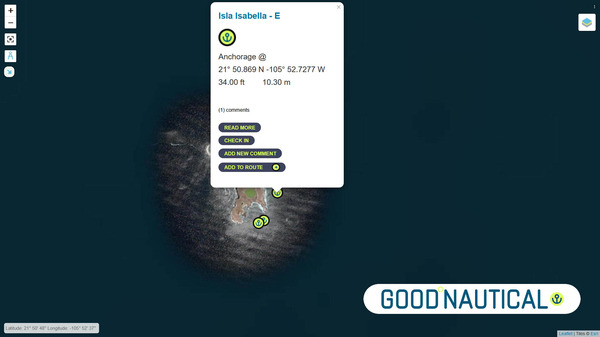
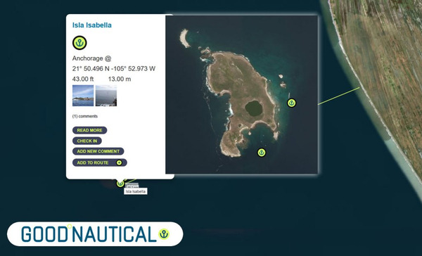
| ⑱ | Isla Isabella Anchorage South | 21° 50.5266' N | 105° 52.907'' W | 90.87 | |
| ⑲ | San Blas Outer Anchorage | 21° 31.043' N | 105° 14.566' W | 40.64 | ⛽💧 |
| ⑳ | Punta de Mita | 20° 45.764' N | 105° 31.15' W | 47.88 | |
| ㉑ | Punta Ipala | 20° 14.2306' N | 105° 34.4255' W | 31.71 | |
| ㉒ | Chamela - N | 19° 35.0404' N | 105° 7.8663' W | 46.50 | |
| ㉓ | Isla Paraiso - E | 19° 28.6194' N | 105° 3.7637' W | 7.50 | |
| ㉔ | Tenacatita - Inner Bay | 19° 17.9207' N | 104° 50.1528' W | 16.72 | |
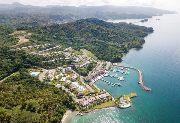
| ㉕ | Marina Puerto Navidad | 19° 11.7294' N | 104° 40.8748' W | 10.73 | ⛽💧 |
WINDS
CURRENTS
SWELL AND WAVES
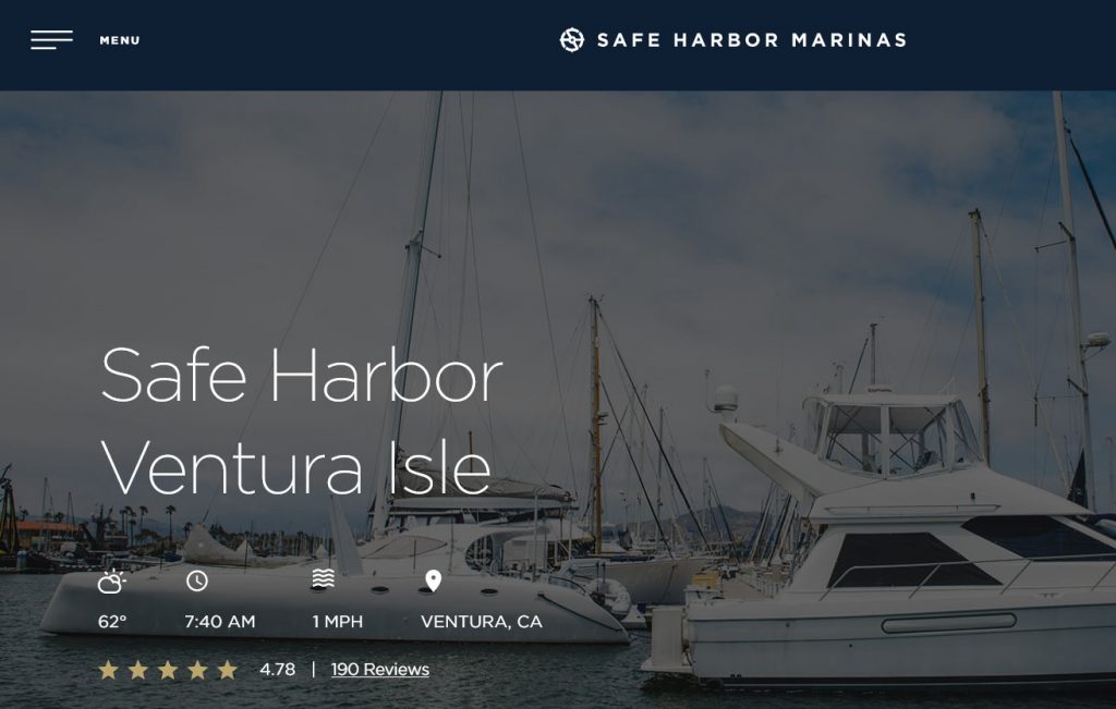
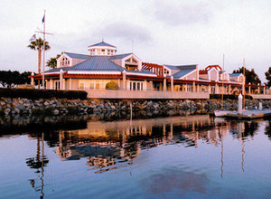
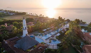
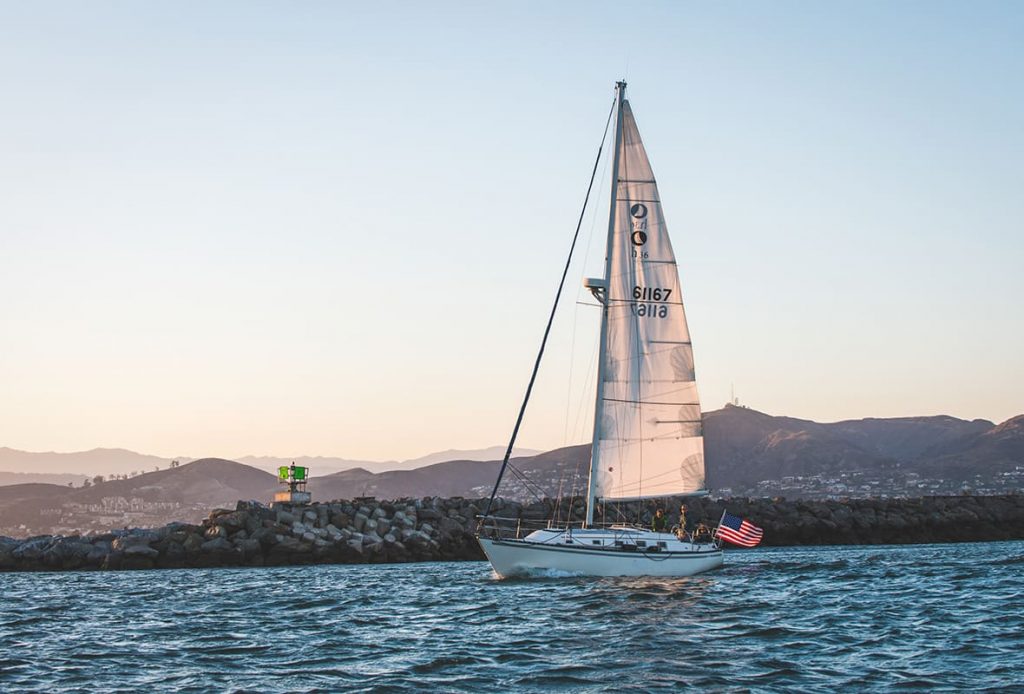
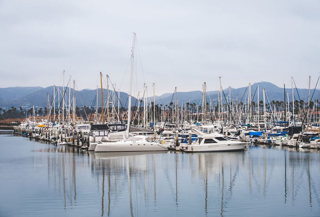
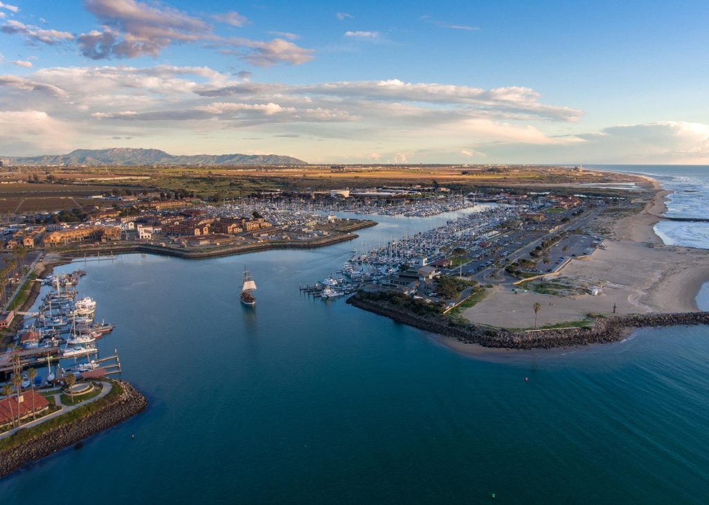
SAFE HARBOR VENTURA ISLE 🇺🇸 SPONSORS THE PANAMA POSSE
Safe Harbor VENTURA ISLE  SPONSORS THE PANAMA POSSE
34° 14.7' N 119° 15.595' W
Happy to offer 50c x foot off our transient rates for participants of the Panama Posse

Garrett McKinney
General Manager
Whether you're setting sail for Panama or dining in the lively Ventura Harbor Village, Safe Harbor Ventura Isle is a gateway to it all.
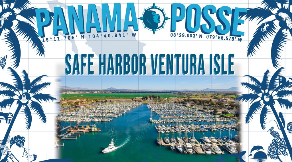
SAFE HARBOR VENTURA ISLE
Address: 1363 Spinnaker Dr, Ventura, CA 93001
Tel: +1 (805) 644-5858
E: gmkcinney@shmarinas.com
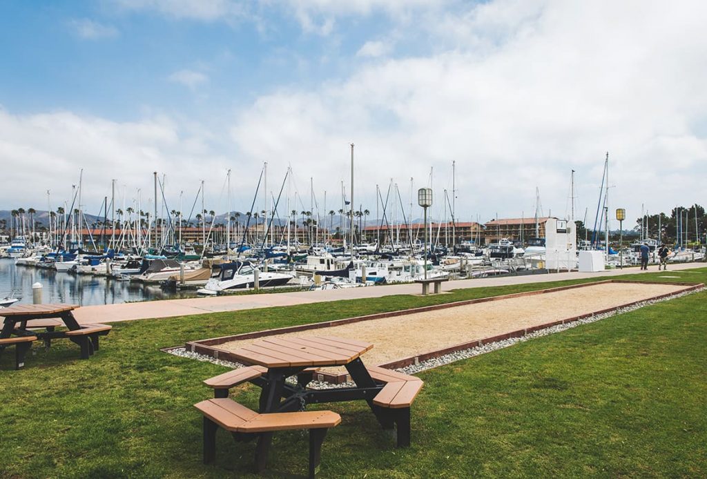
AMENITIES
- Max LOA 93'
- Max Beam 40'
- Boat Lifts
- Complimentary Wi-Fi
- Cable TV Hookups
- Fresh Water Hookups
- Shore Power Hookups
- Dock Boxes
- Pump-out
- Drive-up Parking
GOOD NAUTICAL SAFE APPROACH
MAP
OFFICIAL WEBSITE >>