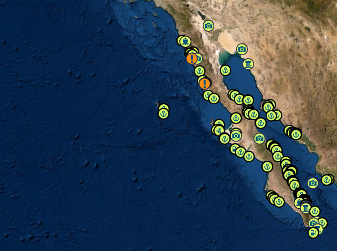
THE BAJA PENINSULA 750 NM WITH PLENTY OF ANCHORAGES AND ONE OVERNIGHT SAIL
DANGERS
FOG – KELP – REEFS – SMALL PANGAS – EXPENSIVE FUEL IN TURTLE BAY – WHALES – STRONG NW WINDS
BAJA RUN: 4 SEGMENTS TO THE SOUTH BOUND RUN
1) Leaving San Diego and Checking in into Mexico in Ensenada BC MX
2) Ensenada To Turtle Bay and anchorages in between
3) Turtle Bay to Mag Bay ( Bahia Magdalena BCS )
4) The overnight run from Mag Bay to Cabo and timing your sail around Cabo Falso into Cabo San Lucas
BAJA BASH: 7 SEGMENTS TO THE NORTH BOUND BASH
1) Fueling up and waiting for a weather window in Cabo San Lucas / San jose de Cabo
2) The overnight run around Cabo Falso to Mag Bay to Bahia Magdalena BCS
3) Beating from Mag Bay to Turtle Bay
4) Nudging up to the NE tip of iIla Cedros and sailing across a high wind zone to Fondadero San Carlos
5) San Carlos to San Quentin
6) San Quentin to Ensenada
7) Checking out of Ensenada and heading to San Diego
BAJA RUN SOUTH BOUND
|
|
|
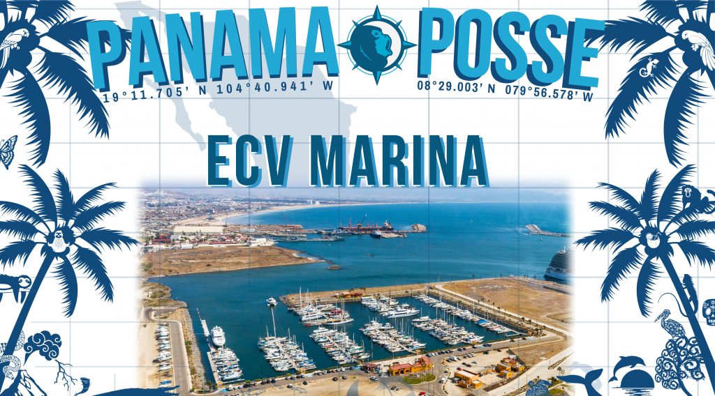
① Start at Cruiseport Village Marina Ensenada and do your Mexico check ins 31° 51.2766′ N 116° 37.2433′ W |
|
|
|
|
Once you have made it out of Ensenada without dropping to much cash at Hussong’s Cantina |
|
|
|
|
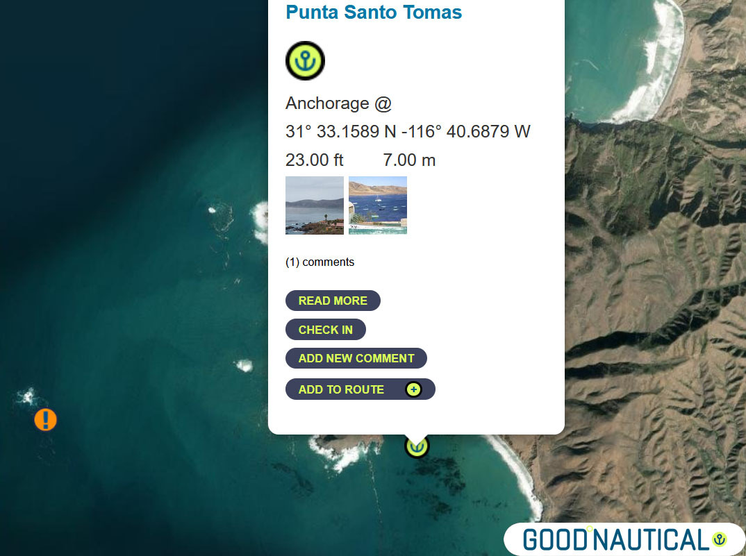
② head for Punta Santo Tomas at 31° 33.1589 N |
|
|
|
|
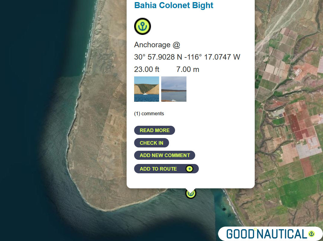
③ The next jump is either 40 nm to Bahia Colonet Bight 30° 57.9028 N 116° 17.0747 W – details at https://goodnautical.com/mexico-pacific/anchorage/bahia-colonet-bight |
|
|
|
|
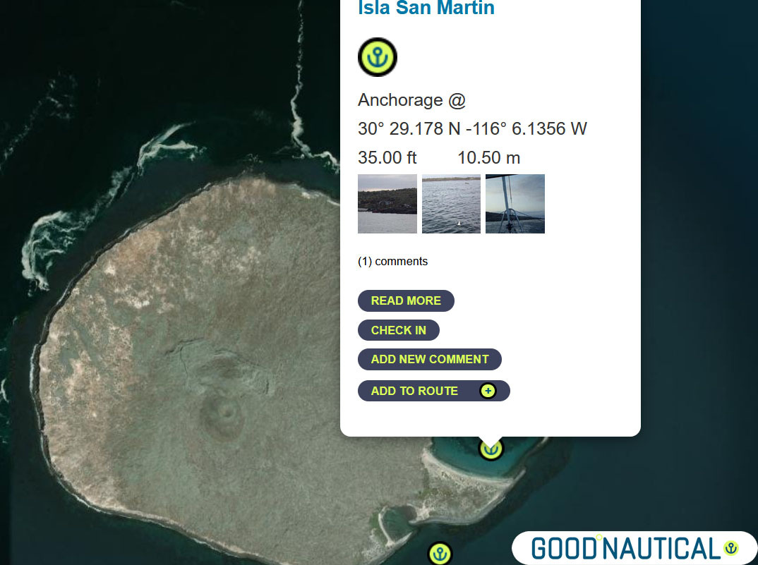
④ Or an extra 30nm Isla San Martin North bay 30° 29.178 N -116° 6.1356 W or South Anchorage depending on swell https://goodnautical.com/mexico-pacific/anchorage/isla-san-martin |
|
|
|
|
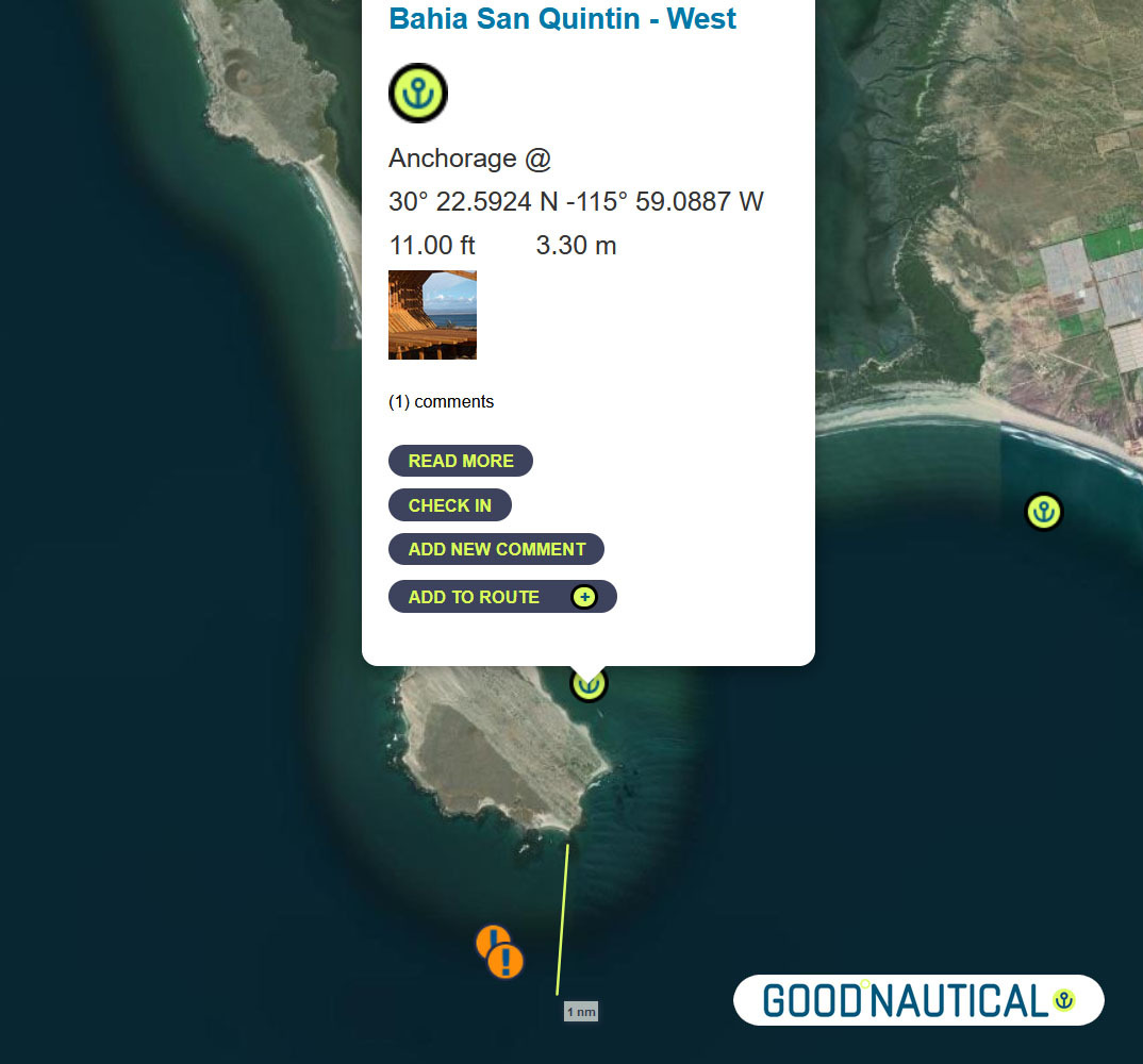
⑤For a more protective bay especially for those who wish to bash back up here is Bahia San Quintin https://goodnautical.com/mexico-pacific/anchorage/bahia-san-quintin-w and https://goodnautical.com/mexico-pacific/anchorage/bahia-san-quintin |
|
|
|
|
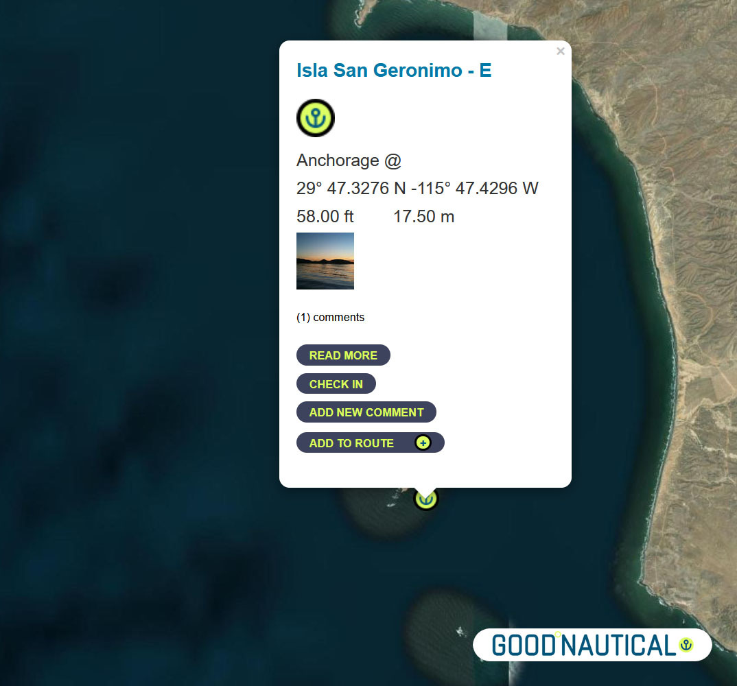
The ⑥ South of this – about 39 nm is a fair weather anchorage at 29° 47.3276 N 115° 47.4296 W behind ISLA SAN GERNOMIO – watch for 2 rocks south of it @ 29° 44.2191′ N 115° 46.2265′ W https://goodnautical.com/mexico-pacific/anchorage/isla-san-geronimo-e |
|
|
|
|
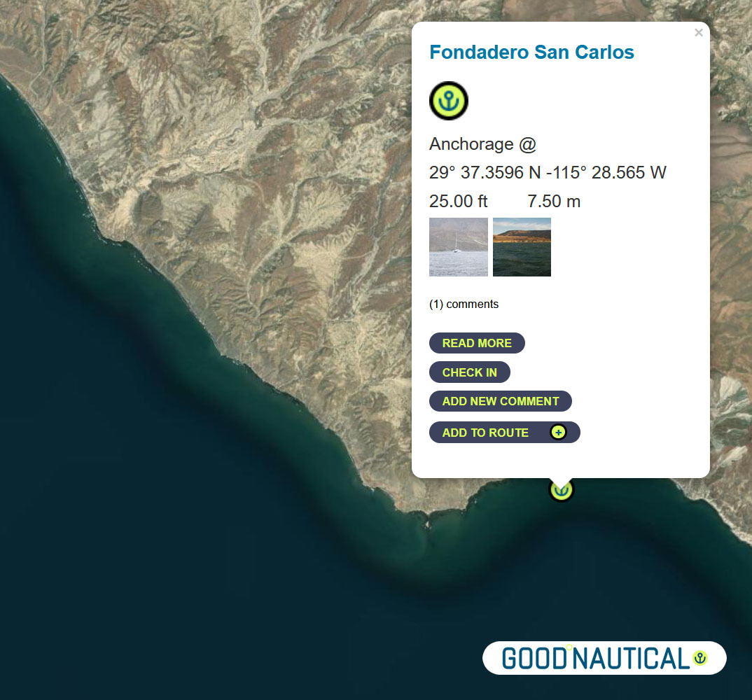
⑦ The next anchorage is a staple along the route FONDADERO SAN CARLOS Especially for those on a northbound track @ 29° 37.3596 N 115° 28.565 W This anchorage is 68 nm South of Sna Quintin – expect some kelp patches and shoaling on the northern bight https://goodnautical.com/mexico-pacific/anchorage/fondadero-san-carlos |
|
|
|
|
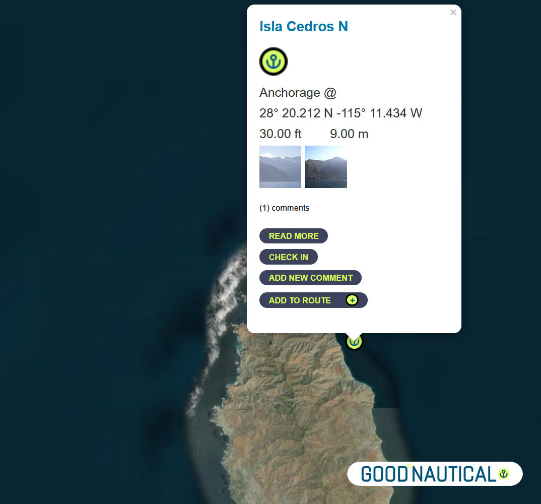
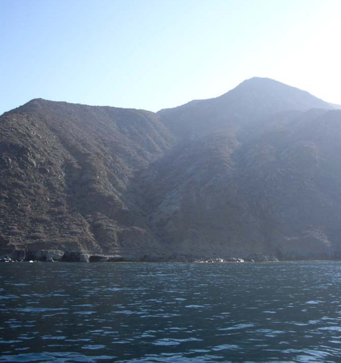
⑧ South ~ 80 nm across the bay of Sebastian Vizcaino is Isla Cedros N – aka the Cedros Island Yacht club anchorage at 28° 20.212 N -115° 11.434 W https://goodnautical.com/mexico-pacific/anchorage/isla-cedros-n Expect |
|
|
|
|
The east coast of Isla Cedros has several anchorages; the northern |
|
|
|
|
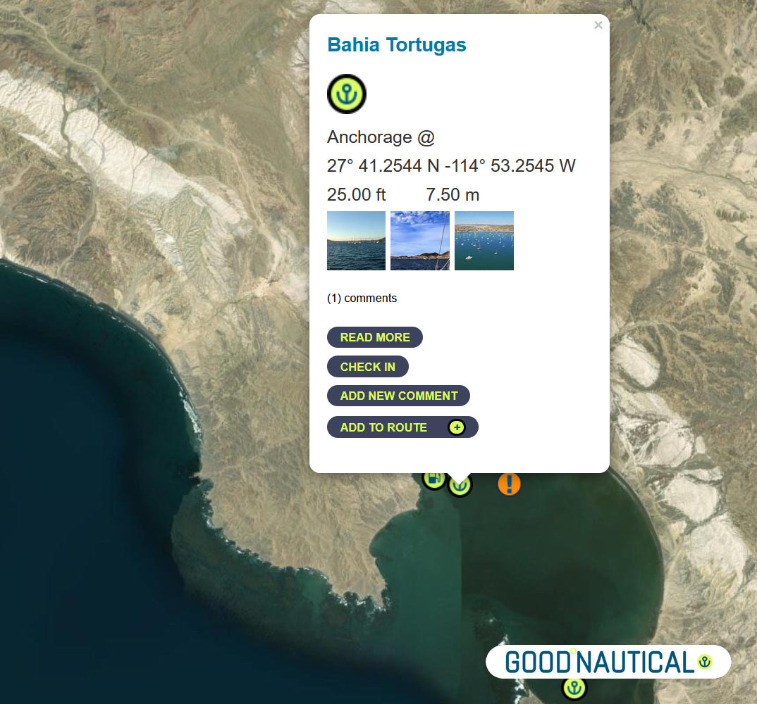
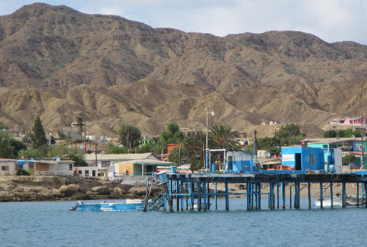
Bypassing a few anchorages on the East and South of Isla Cedros ~ ⑨50 nm south is Turtle Bay / Bahia Tortugas |
|
|
|
|
The locals will try to sell you fuel from pangas or via the fuel dock – |
|
|
|
|
⑩ The next jump is about 50 nm to Bahia Asuncion 27° 08.1355 N 114° 17.4206 W https://goodnautical.com/mexico-pacific/anchorage/bahia-asuncion |
|
|
The |
|
|
|
|
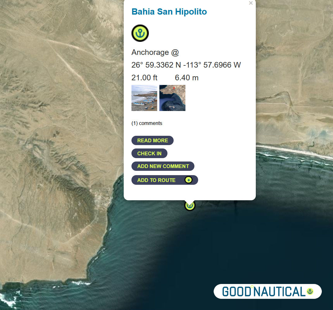
⑪Or push it another 24 nm to Bahia San Hipolito This
|
|
|
|
|
⑫A far more protected anchorage is 50 nm south of Bahia Asuncion or 105 nm south of Turtle bay is Bahia Ballenas @ 26° 46.0426 N -113° 30.0266 W https://goodnautical.com/mexico-pacific/anchorage/bahia-ballenas |
|
|
|
|
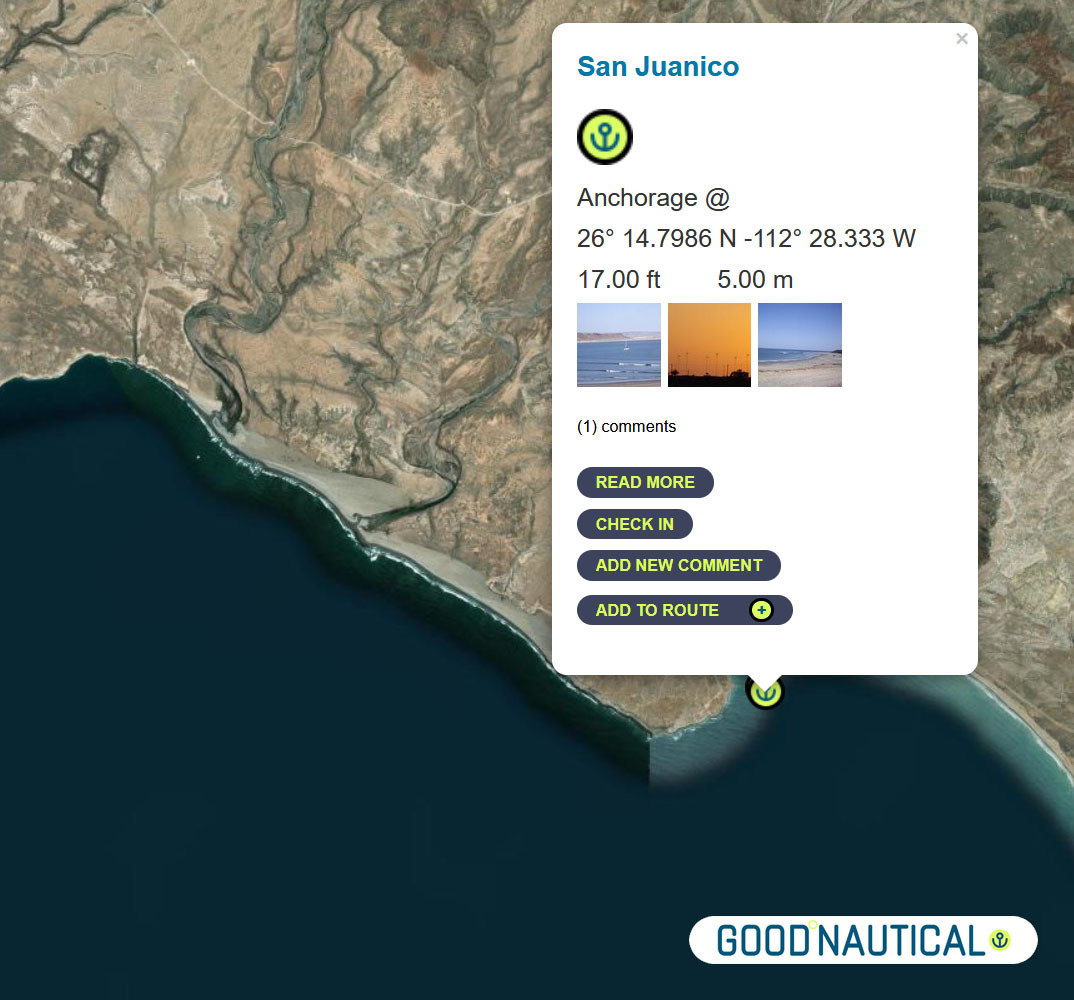
⑬ A prime spot along this coast is San Juanico / Scorpion Bay @ 26° 14.7986 N 112° 28.333 W about nm SE from Bahia Ballenas – with friendly locals and expats In |
|
|
|
|
|
|
⑭Another 85 nm to Bahia Santa Maria |
|
|
|
|
Bahia Santa Maria |
|
|
|
|
There is no permanent settlement in Bahia Santa Maria but a dinghy ride up
into river channels at the north end of the bay reveals a cluster of fishing shacks with brightly colored pangas tied up along the bank. From November to May itinerant fishermen stay in the bay to fish for tuna, jacks and dorado. |
|
|
|
|
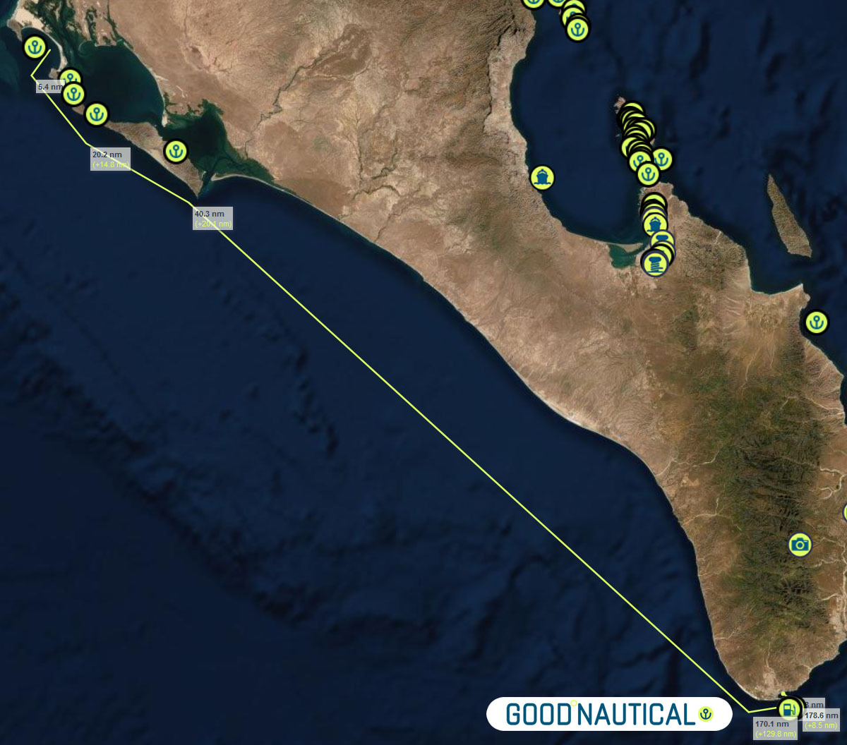
⑮The final jump an overnight sail to Cabo San Lucas ( WEEKEND MORNINGS ARE TOUGH IN CABO MANY FISHING VESSELS LEAVE A T THAT TIME SO TRY TO ARRIVE AFTER 9 AM ) ~ 185 nm with no real stops along the way – as soon as you round the |
|
|
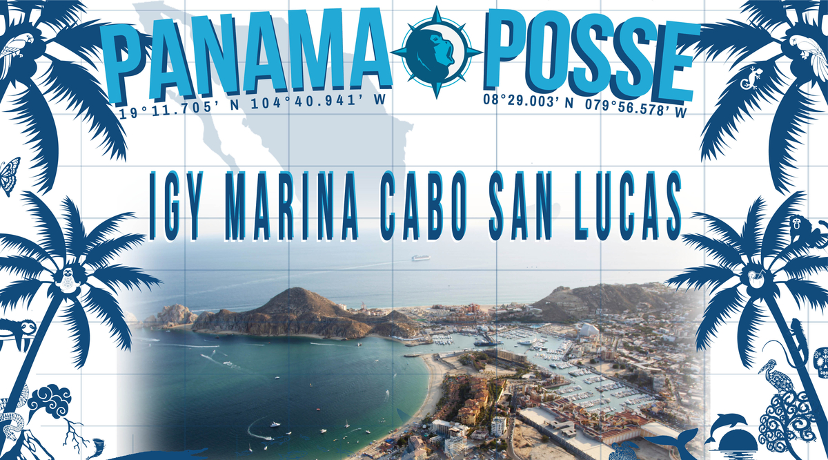
Make a reservation at our sponsorshop Marina IGY Cabo San Lucas – with Jesus A. Esquitel VHF 16 & 88A Tel +52 (624) 173-9140 CSL@IGYMarinas.com www.igy-cabosanlucas.com |
|
|
|
BAJA BASH NORTH BOUND
⑮Leave from Cabo San Lucas ( WEEKEND MORNINGS ARE TOUGH IN CABO MANY FISHING VESSELS LEAVE A T THAT TIME SO TRY TO ARRIVE AFTER 9 AM )
~ 185 nm with no real stops along the way – as soon as you round the
cabe the warmer tropical air will welcomr you to Cabo San Lucas – best
not to arrive Weekends between 6 and 9 AM as scores of fishing vessels
are leaving Cabo and will produce eneourous wakes and traffic. Anchor at
22° 53.304 N 109° 53.844 W https://goodnautical.com/mexico-pacific/anchorage/cabo-san-lucas-se-coast
Make a reservation at our sponsorshop Marina IGY Cabo San Lucas – with Jesus A. Esquitel VHF 16 & 88A
Tel +52 (624) 173-9140
CSL@IGYMarinas.com
www.igy-cabosanlucas.com
CABO FALSO – get around it on a windless morning to make your way up ! It’s an overnight for most – look for winds with a more northern angle to run with less windwaves
A day c an make the total difference in weather-weather windows do come ..
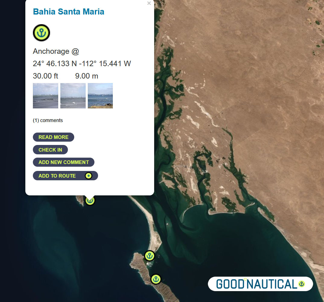
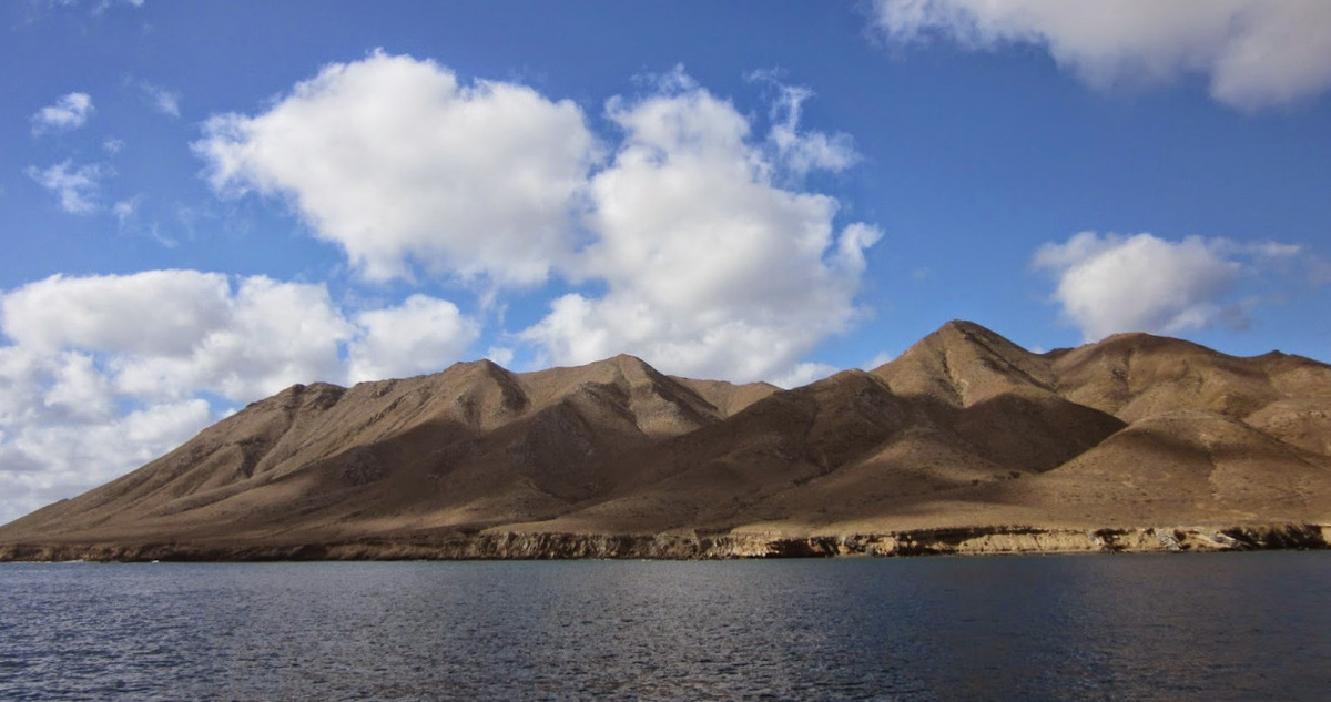
Bahia Santa Maria
is a large crescent shaped bay which lies just south of Cabo San
Lazaro. It is defined to the north and south by rocky islands and
bounded to the east by a narrow strip of sand ridges which separates it
from the huge lagoon of Bahia Magdalena behind.
into river channels at the north end of the bay reveals a cluster of
fishing shacks with brightly colored pangas tied up along the bank. From
November to May itinerant fishermen stay in the bay to fish for tuna,
jacks and dorado.
a major stop and wide bay with fisheries and cell signal 24°
46.133 N 112° 15.441 W
https://goodnautical.com/mexico-pacific/anchorage/bahia-santa-maria
⑭FROM Bahia Santa Maria 85 nm to
⑬ A prime spot along this coast is San Juanico / Scorpion Bay @ 26° 14.7986 N 112° 28.333 W about nm SE from Bahia Ballenas – with friendly locals and expats In
the mid-seventies surfers noticed the amazing waves peeling off Punta
Pequeña as the swell wraps around into Bahia San JuanicoI. The village
is host to a couple of abarrotes and restaurants and beach palapas.
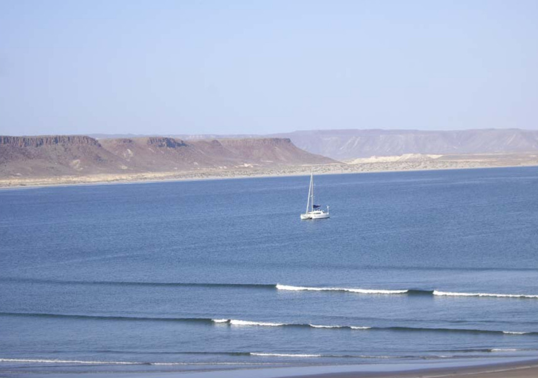
SAN JUANICO SCORPION BAY
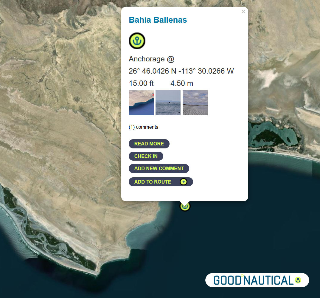
⑫A far more protected anchorage is 50 nm south of Bahia Asuncion or 105 nm south of Turtle bay is Bahia Ballenas @ 26° 46.0426 N -113° 30.0266 W https://goodnautical.com/mexico-pacific/anchorage/bahia-ballenas

Or push it another 24 nm to Bahia San Hipolito This
is a marginal anchorage exposed to wind and swell from north and south.
Anchor close to the beach in 6.4m on sand. @ 26° 59.3362 N -113°
57.6966 W https://goodnautical.com/mexico-pacific/anchorage/bahia-san-hipolito
NEXT UP THE COAST
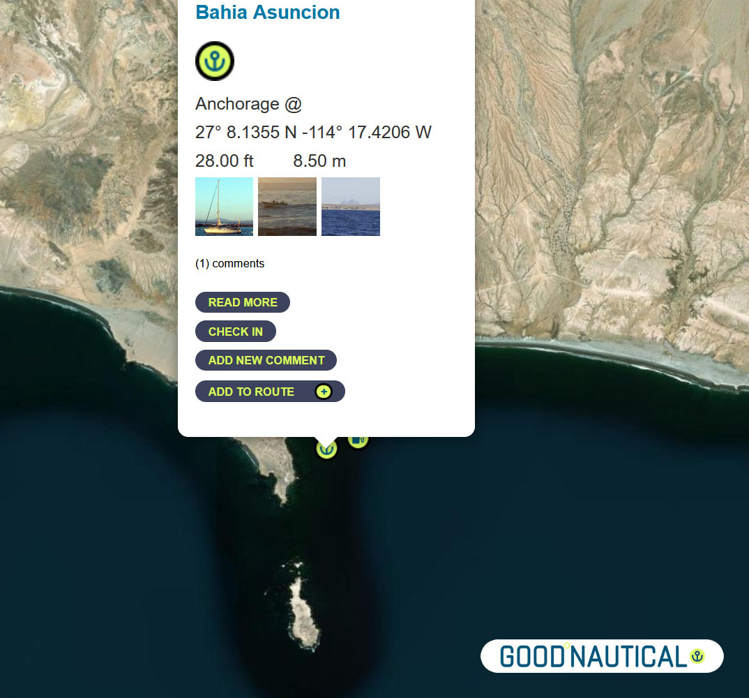
The
bay at Asuncion is home to the local fishing fleet and harvesting
shellfish is one of the main sources of income for the community. The
water is incredibly clear and no discharge is allowed to be dumped into
bay in order to preserve the high quality of the abalone.
⑩ The next jump is about 50 nm to Bahia Asuncion 27° 08.1355 N 114° 17.4206 W
https://goodnautical.com/mexico-pacific/anchorage/bahia-asuncion
ANCHORAGE LIST
| ID | Location | Latitiude | Longitude | NM | |
| ⓪ | San Diego Police Dock | 32° 42.537′ N | 117° 14.10543′ W | – | ⛽💧 |
| ① | Ensenada Cruiseport Village Marina | 31° 51.2766′ N | 116° 37.2433′ W | 60.04 | ⛽💧 |
| ② | Punta Santo Tomas | 31° 33.1589 N | 116° 40.6879 W | 18.37 | |
| ③ | Bahia Colonet Bight | 30° 57.9028 N | 116° 17.0747 W | 40.65 | |
| ④ | Isla San Martin North Bay | 30° 29.178 N | 116° 6.1356 W | 30.24 | |
| ⑤ | Bahia San Quintin | 30° 22.5924′ N | 115° 59.0887′ W | 8.97 | |
| ⑥ | Isla San Gernomio | 29° 47.3276′ N | 115° 47.4296′ W | 36.71 | |
| ⑦ | Fondadero San Carlos | 29° 37.3596′ N | 115° 28.565′ W | 19.19 | |
| ⑧ | Isla Cedros N | 28° 20.212′ N | 115° 11.434′ W | 78.62 | |
| ⑨ | Turtle Bay / Bahia Tortugas | 27° 41.2544′ N | 114° 53.2545′ W | 42.16 | ⛽💧 |
| ⑩ | Bahia Asuncion | 27° 08.1355′ N | 114° 17.4206′ W | 45.95 | ⛽ 💧 |
| ⑪ | Bahia San Hipolito | 26° 59.3362′ N | 113° 57.6966′ W | 19.66 | |
| ⑫ | Bahia Ballenas | 26° 46.0426′ N | 113° 30.0266′ W | 28.05 | |
| ⑬ | San Juanico / Scorpion Bay | 26° 14.7986′ N | 112° 28.333′ W | 63.50 | |
| ⑭ | Bahia Santa Maria | 24° 46.133′ N | 112° 15.441′ W | 89.47 | |
| ⑮ | Cabo San Lucas East | 22° 53.304′ N | 109° 53.844′ W | 171.87 | ⛽💧 |
| ⑯ | Los Frailes | 23° 22.836′ N | 109° 25.297” W | 39.54 | |
| ⑰ | Isla de Pajaros | 23° 15.2645′ N | 106° 28.3305” W | 162.80 | |
| ⑱ | Isla Isabella Anchorage South | 21° 50.5266′ N | 105° 52.907” W | 90.87 | |
| ⑲ | San Blas Outer Anchorage | 21° 31.043′ N | 105° 14.566′ W | 40.64 | ⛽💧 |
| ⑳ | Punta de Mita | 20° 45.764′ N | 105° 31.15′ W | 47.88 | |
| ㉑ | Punta Ipala | 20° 14.2306′ N | 105° 34.4255′ W | 31.71 | |
| ㉒ | Chamela – N | 19° 35.0404′ N | 105° 7.8663′ W | 46.50 | |
| ㉓ | Isla Paraiso – E | 19° 28.6194′ N | 105° 3.7637′ W | 7.50 | |
| ㉔ | Tenacatita – Inner Bay | 19° 17.9207′ N | 104° 50.1528′ W | 16.72 | |
| ㉕ | Marina Puerto Navidad | 19° 11.7294′ N | 104° 40.8748′ W | 10.73 | ⛽💧 |
WINDS
CURRENTS
SWELL AND WAVES
1 Comment
Add comment Cancel reply
You must be logged in to post a comment.


[…] THE BAJA RUN […]