

COSTALEGRE
COSTALEGRE: THE HAPPY COAST
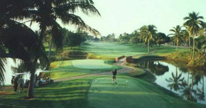
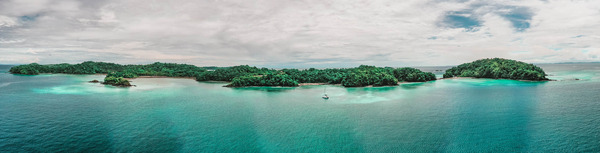
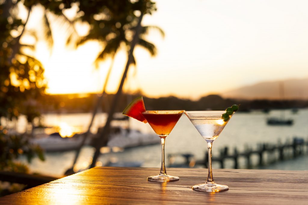
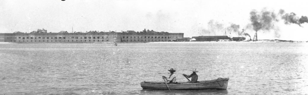
The Costalegre (Spanish for “Happy Coast”) is a spectacular stretch of Mexico’s Pacific shoreline running between Puerto Vallarta in Jalisco and Manzanillo in Colima. Known for its rugged beauty and secluded coves, this 150-kilometer region is far less developed than its famous northern neighbor, offering a more intimate and unspoiled coastal experience. The area encompasses several distinct sections — including Chamela Bay, Costa Careyes, Playa Majahuitas, and Bahía de Tenacatita — each with its own character, from pristine beaches to dramatic cliffs and lush tropical hillsides.
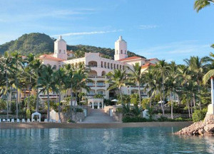
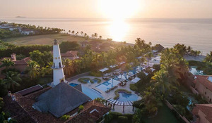
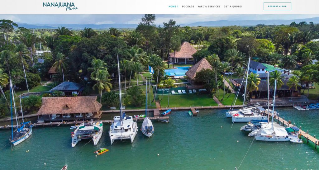
Costalegre has long been a retreat for those seeking privacy and tranquility. Exclusive resorts and private estates are scattered along its coastline, particularly in Costa Careyes, where Mediterranean-style villas dot the hillsides. However, beyond the luxury enclaves, small fishing villages and traditional ranchos give the region an authentic Mexican charm. Local communities welcome travelers to explore local markets, sample fresh seafood, and experience regional hospitality.
The waters along Costalegre are inviting year-round, with opportunities for snorkeling, diving, kayaking, and sportfishing. Tenacatita Bay, often called the “crown jewel” of the coast, is especially popular among boaters for its calm anchorage and rich marine life. Inland, mangroves, estuaries, and lowland forests provide habitats for exotic birds and wildlife, making it a draw for eco-tourism.
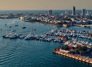
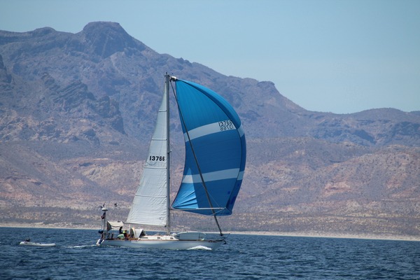
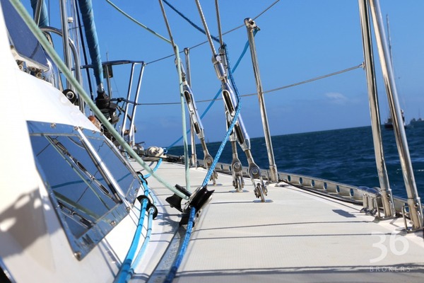
For sailors and yacht cruisers, Costalegre offers a chain of natural anchorages, each with a distinct flavor, from the lively beach scene in La Manzanilla to the serene isolation of Playa Paraiso. The sailing season typically runs from November to May, when dry weather and steady breezes create ideal conditions.
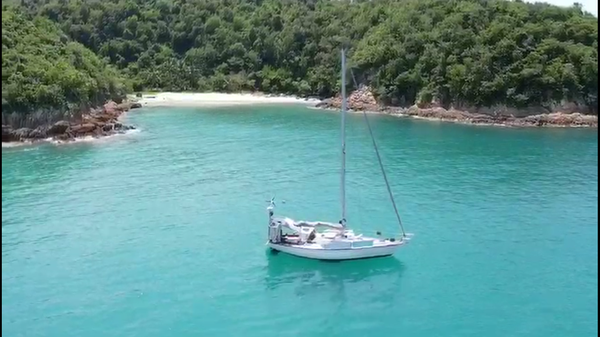
With over 30 anchorages the Costalegre is the Ocean Posse playground. The water is usually warm and pleasant with gentle dinghy beach landings, Some of these remote anchorages are solitary with the exception of Tenecatitia which at the height of the cruising season will have up to 50 yachts at anchor.
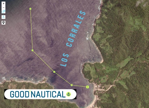 |
⚓ Los Corrales @ 20 246 N 105° 40 W –
(exposed to N – NW & W Swell )
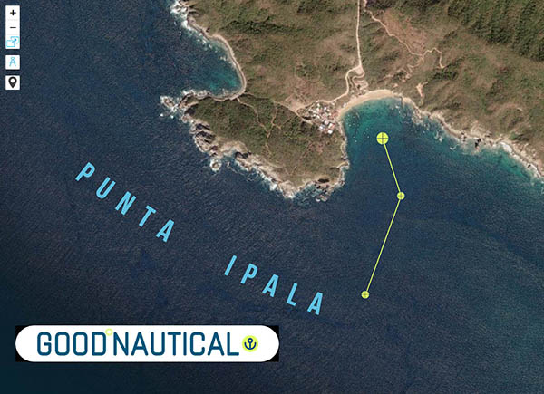 |
⚓ Punta Ipala @ 20° 14.2132′ N 105° 34.4000′ W
(exposed to W – SW – S Swell )
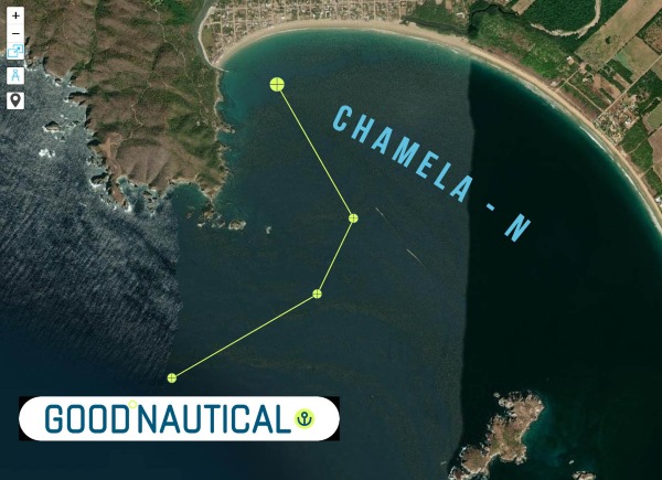 |
⚓ Chamela – N @ 19° 35.0317′ N 105° 07.8500′ W
(exposed to SW Swell )
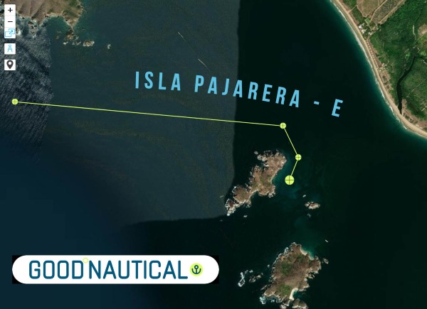 |
Isla Pajarera – E @ 19° 33.5505′ N 105° 06.6070′ W
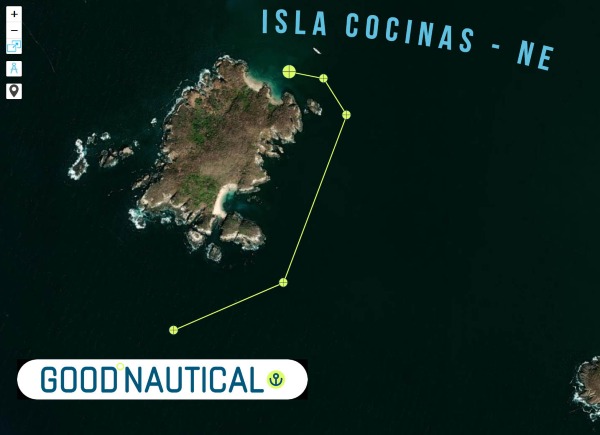 |
Isla Cocinas – NE @ 19° 33.1496′ N 105° 06.3817′ W
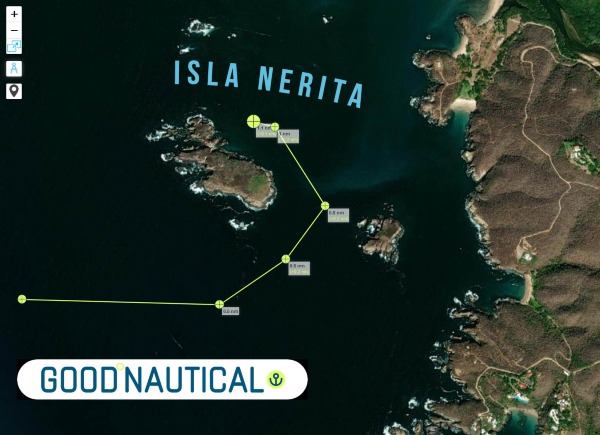 |
Isla Nerita @ 19° 31.4755′ N 105° 05.0901′ W
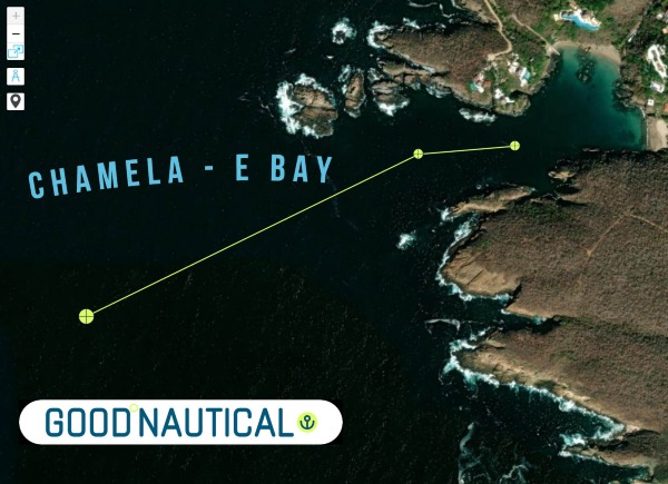 |
Chamela – E Bay @ 19° 30.8433′ N 105° 04.8342′ W
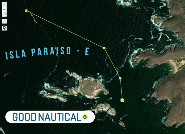 |
Isla Paraiso – E @ 19° 28.6147′ N 105° 03.7655′ W
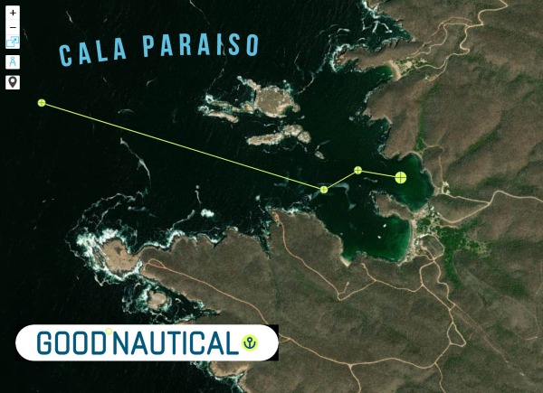 |
Cala Paraiso @ 19° 28.4782′ N 105° 03.5512′ W
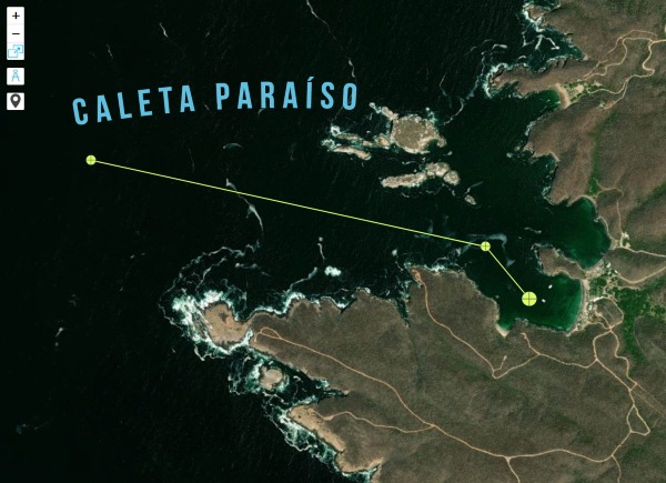 |
Caleta Paraíso @ 19° 28.3383′ N 105° 03.6213′ W
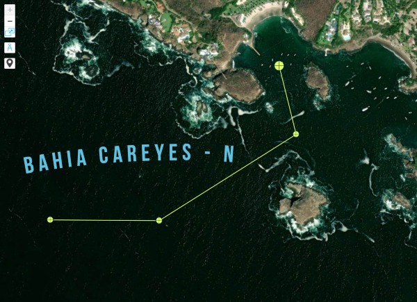 |
Bahia Careyes – N @ 19° 26.6418′ N 105° 02.1684′ W
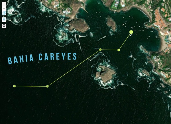 |
Bahia Careyes @ 19° 26.5847′ N 105° 02.0021′ W
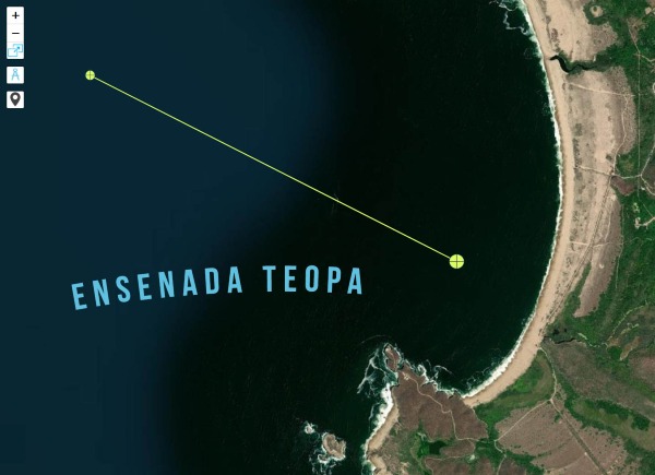 |
Ensenada Teopa @ 19° 23.9448′ N 105° 01.4672′ W
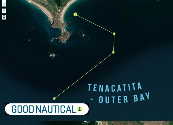 |
Tenacatita – Outer bay @ 19° 17.1346′ N 104° 52.0404′ W
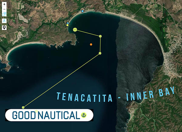 |
Tenacatita – Inner Bay @ 19° 17.8725′ N 104° 50.1806′ W
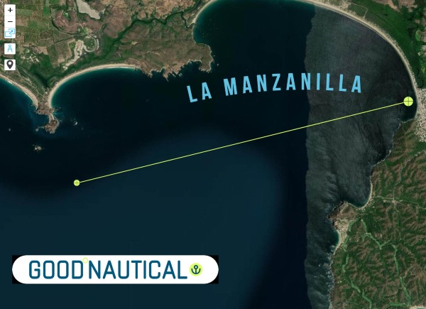 |
La Manzanilla @ 19° 16.8747′ N 104° 47.4327′ W
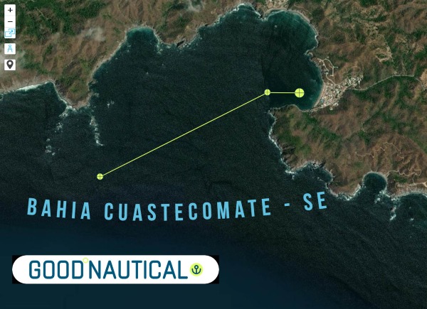 |
Bahia Cuastecomate – SE @ 19° 13.8132′ N 104° 43.8949′ W
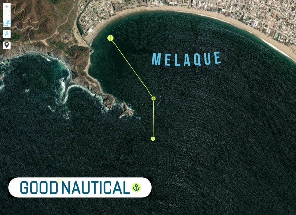 |
Melaque @ 19° 13.1810′ N 104° 42.5871′ W
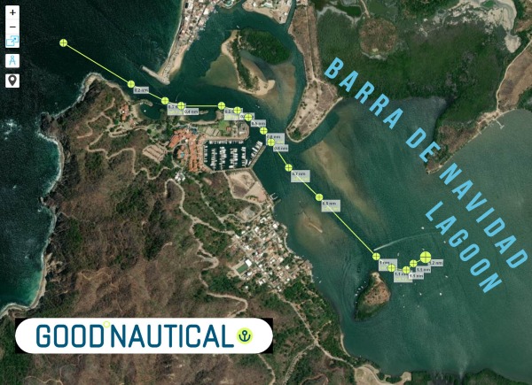 |
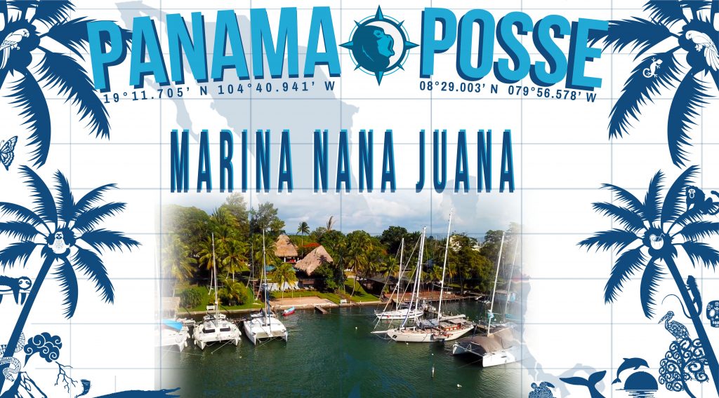
Barra de Navidad – Lagoon @ 19° 11.5084′ N 104° 40.3672′ W
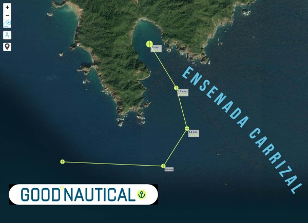 |
Ensenada Carrizal @ 19° 05.7860′ N 104° 26.2464′ W
 |
Higueras Cove @ 19° 06.2471′ N 104° 24.7503′ W
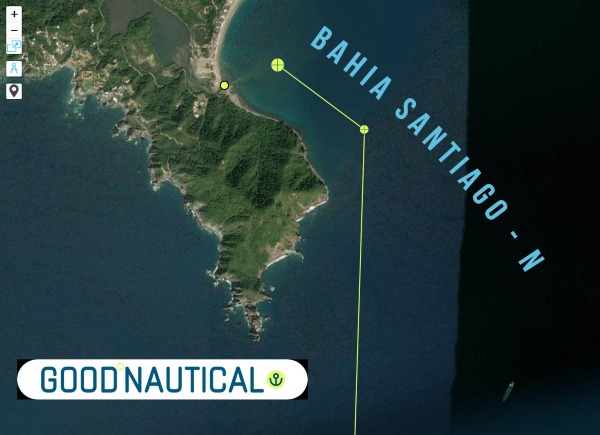 |
Bahia Santiago – N @ 19° 06.6530′ N 104° 23.4890′ W
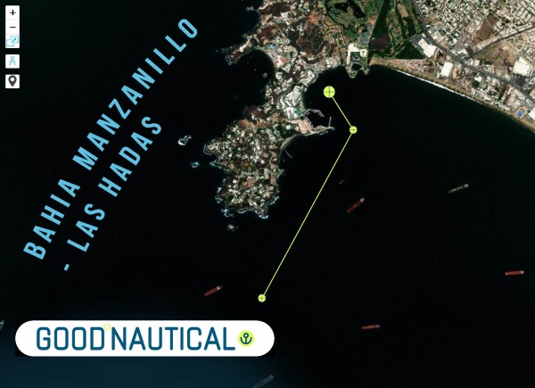 |
Bahia Manzanillo – Las Hadas @ 19° 06.0977′ N 104° 20.6284′ W
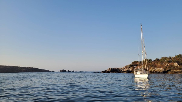 |
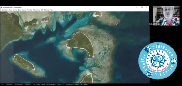
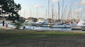
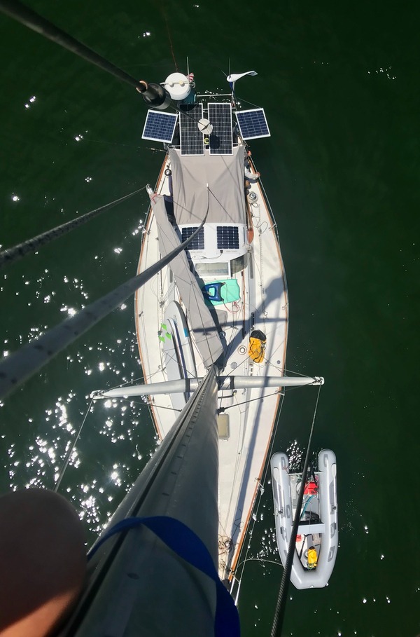
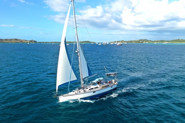
SY Seaglub anchored @ Costalegre
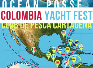
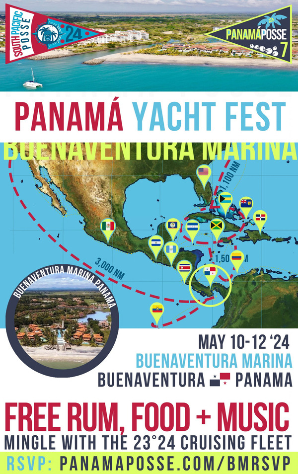
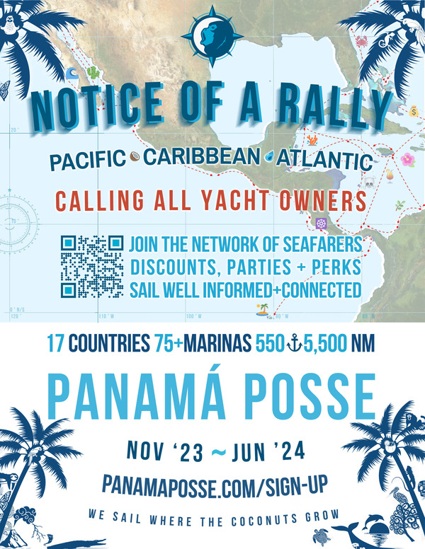
| SIGN UP FOR THE OCEAN POSSE |
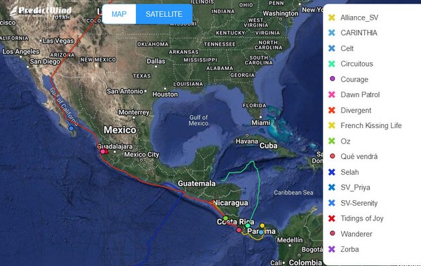
FLEET UPDATE 2023-11-05
|

.jpg)
.jpg)


.jpg)


.jpg)
.jpg)


.jpg)
.jpg)


.jpg)

.jpg)


.jpg)


.jpg)
.jpg)


.jpg)


.jpg)


.jpg)
|
|

|
|
.jpg)


|
.jpg)
.jpg)
.jpg)
.jpg)
.jpg)
.jpg)
.jpg)
.jpg)
.jpg)
.jpg)
.jpg)
.jpg)
.jpg)
.jpg)
.jpg)
.jpg)
.jpg)

.jpg)
.jpg)
.jpg)
.jpg)
.jpg)
.jpg)
.jpg)

|


.jpg)


.jpg)
.jpg)
.jpg)
|
.jpg)
|


.jpg)
.jpg)


.jpg)

.jpg)


.jpg)

.jpg)


|