

SIXT RENTAL CARS SPONSORS THE OCEAN POSSE
SIXT RENTAL CARS SPONSORS THE OCEAN POSSE
Ocean Posse – Sixt Car Rental Disclaimer
Login | Register for this info
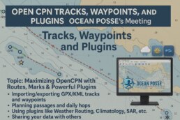
OPEN CPN | Tracks, Waypoints, and Plugins
Tracks, Waypoints, and Plugins
Topic: Maximizing OpenCPN with Routes, Marks & Powerful Plugins
Importing/exporting GPX/KML tracks and waypoints
Planning passages and daily hops
Using plugins like Weather Routing, Climatology, SAR, etc.
Sharing your data with others
TIME NOON 12 PM PACIFIC TIME
──────────
Join Zoom Meeting