
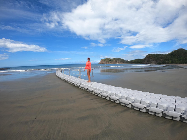
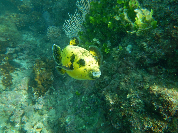
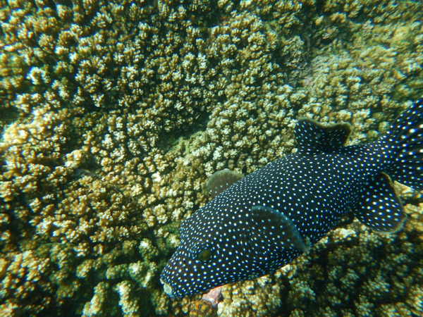
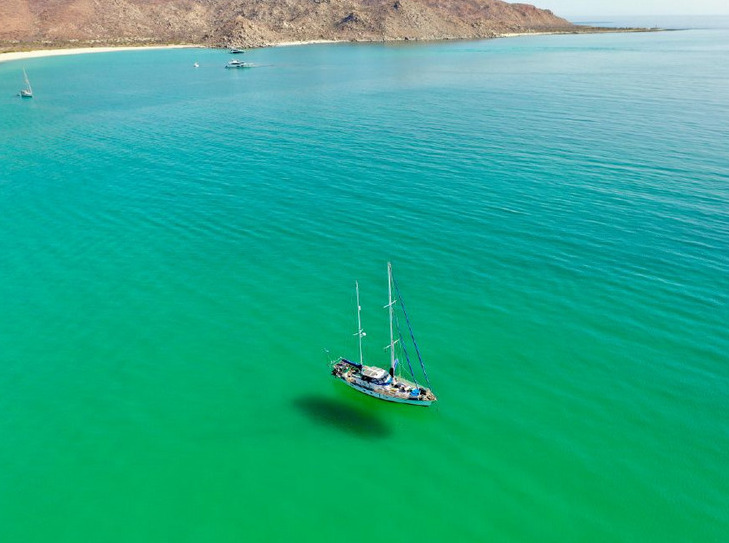
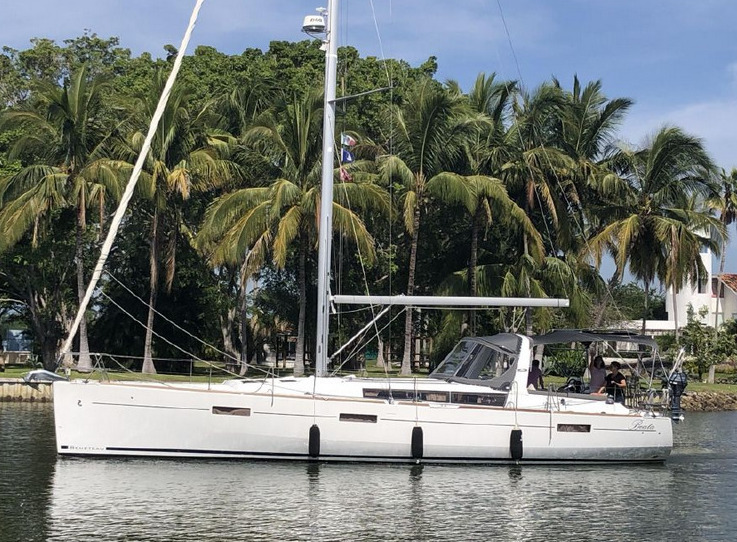
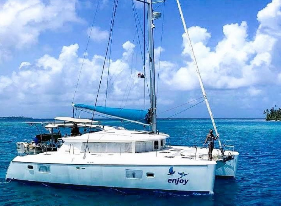
FLEET UPDATE 2023-01-04
|


|


|
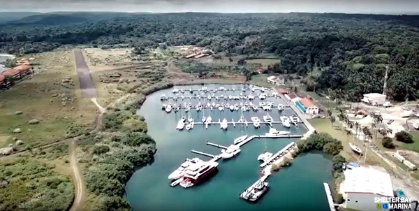
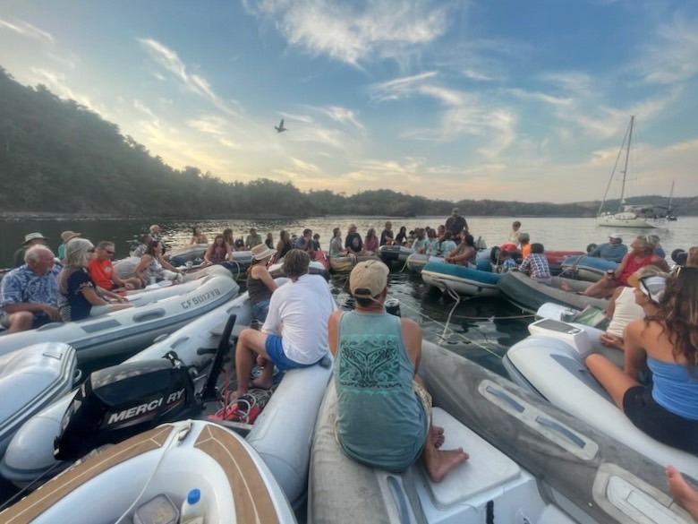
PANAMA AND PACIFIC POSSE PARTY AT SHELTER BAY
SAT Feb 3 2024, SheLTER BAY PANAMA
ITINERARY
- 09:00 – 12:00 Swap Meet $ 1 pp – @ GAZEBO
- 12:00 – 13:00 Liferaft inflation Demo – @ GAZEBO
- 14:00 – 21:00 Marine Trade show displays @ GAZEBO
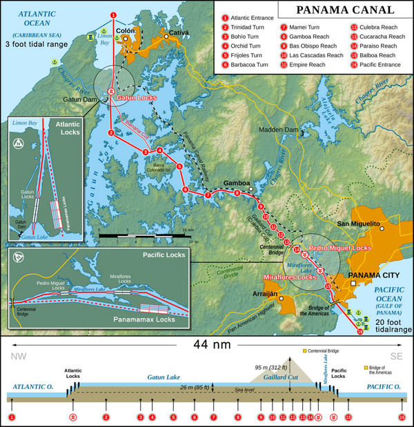
- 14:30 Panama Canal best practices seminar @ SEMINAR CRUISERS LOUNGE
- 15:00 Panama Posse Route – going back to Cali or sea of Cortez @ SEMINAR CRUISERS LOUNGE
- 15:30 OpenCPN Sat Charts and how to get them and use them @ SEMINAR CRUISERS LOUNGE
- 16:00 South Pacific Posse route presentation – beyond Bora Bora @ SEMINAR CRUISERS LOUNGE
- 17:00 Destination Belize Tourism Board Seminar & the second largest barrier reef @ SEMINAR CRUISERS LOUNGE
- 17:30 Predict Wind @ SEMINAR CRUISERS LOUNGE @ GAZEBO
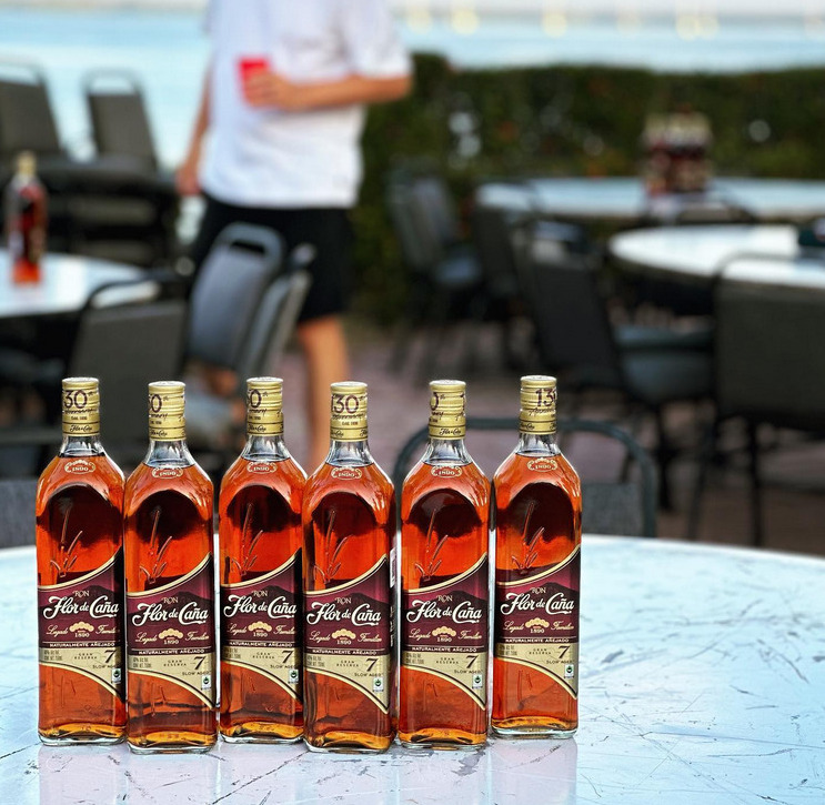
- 17:45 OPEN BAR BY FLOR DE CAÑA @ GAZEBO
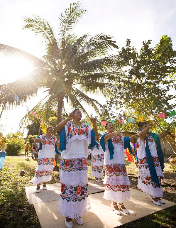
- 18:00 Folkloric Dance and Event Inauguration @ GAZEBO
- 18:26 SUNSET & INVOCATION @ GAZEBO
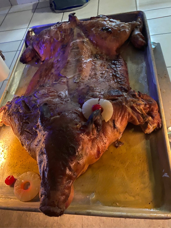
- 18:27 PIG ROAST POT LUCK AND THE BEGINNING OF THE POSSE FEAST @ GAZEBO
- 19:00 DANCE MONKEY DANCE DANCE @ GAZEBO
- LATE TEXAS HOLD’EM TOURNAMENT AND MEXICAN TRAIN TOURNAMENT @ SEMINAR CRUISERS LOUNGE

ACCOMMODATIONS
WELCOME
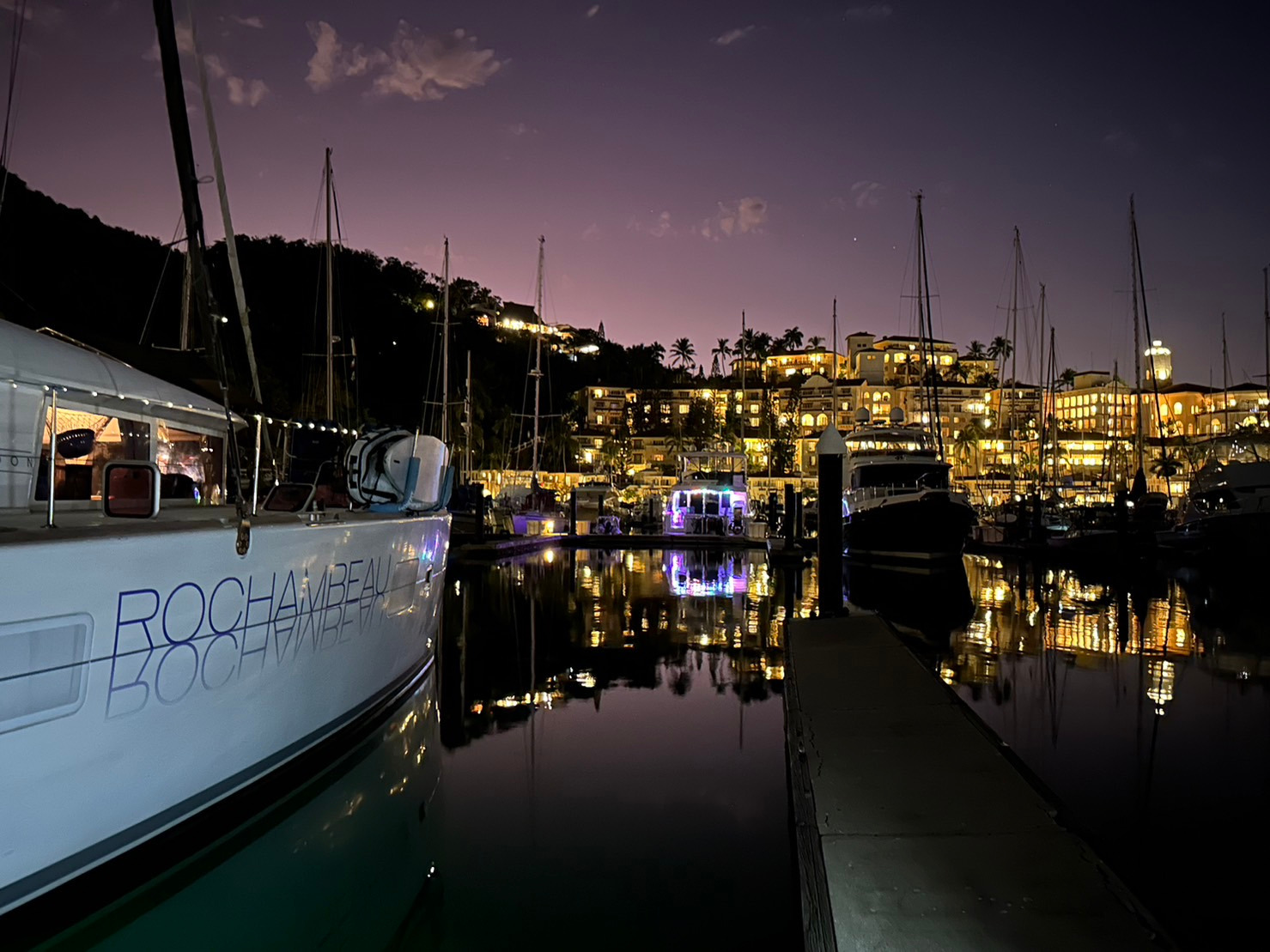
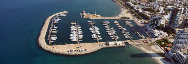
Marina Hotel at Shelter Bay is located at the Caribbean entrance of the Panama Canal. A spectacular waterfront setting surrounded by the lush and pristine rainforest of the San Lorenzo National Park.
Marina Hotel at Shelter Bay puts you in an ideal location for enjoying the many charms of Colon’s historical sites and natural beauty.
We offer our guests a unique and comfortable retreat, complemented with the warmth of our service and the always-colorful Caribbean touch.
Pamper yourself after your travels; enjoy the quiet and relaxing atmosphere at Shelter Bay
BERTHING