Along the OCEAN Posse routes are THESE UNESCO AND OTHER SIGNIFICANT SITES
Below is a list of some of the most cultural or historically significant sites along the Panama Posse route.
Many of these locations are accessible from nearby marinas and are listed as UNESCO WORLD HERITAGES SITES.
MORE >>
YAXICHILAN CENTRAL AMERICA VIA YACHT MAP
TULUM BY YACHT MAP
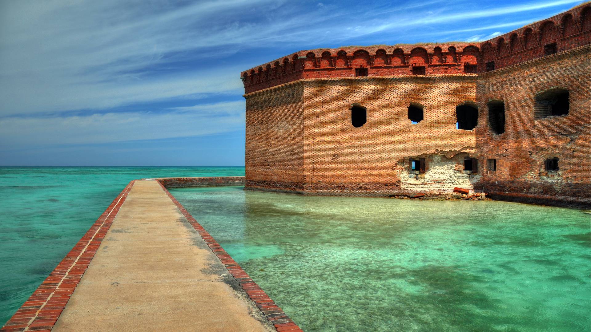
🇬🇹 CASTILLO DE SAN FELIPE, GUATEMALA >>
🇬🇹 Castillo de San Felipe
🇬🇹 The Castle of San Felipe de Lara (Castillo de San Felipe de Lara) is a Spanish colonial fort at […]
YACHTING MAP
YACHTING MAP CENTRAL AMERICAN MUST SEE
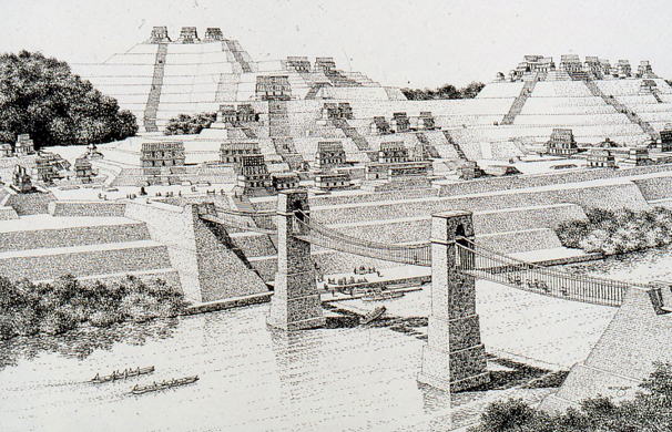
🇲🇽 PALENQUE, CHIAPAS, MEXICO >>
🇲🇽 Palenque
🇲🇽 Palenque also anciently known as Lakamha “Big Water” , was a Maya city state in southern Mexico that flourished in […]
MAP
YACHTING MAP

CENTRAL AMERICAN YACHTING DISCOVERY MAP

COIBA YACHTING MAP

HISTORIC VISIT FROM YOUR YACHT MAP
YACHTING MEXICO’S MUST SEE SITES
CORCOVADO YACHTING MAP
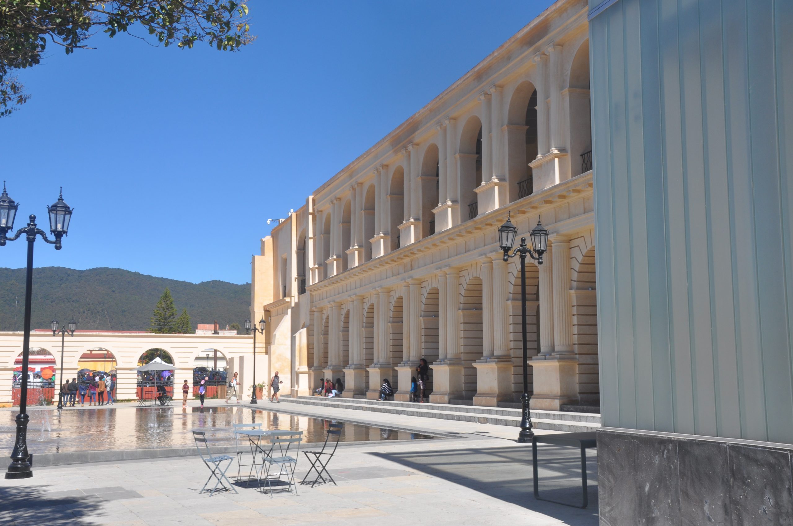
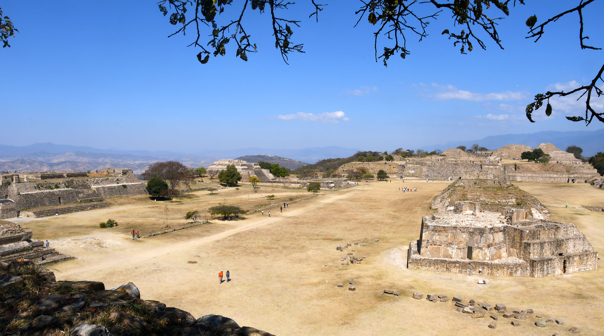
OAXACA BY YACHT MAP
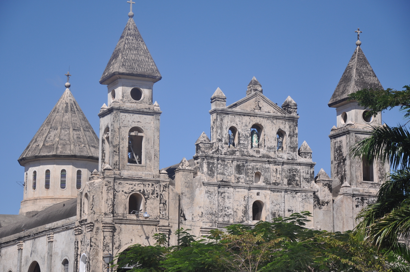
GRANADA YACHTING MAP
🇲🇽 LA RUTA DEL CAFE, Chiapas, Mexico >>
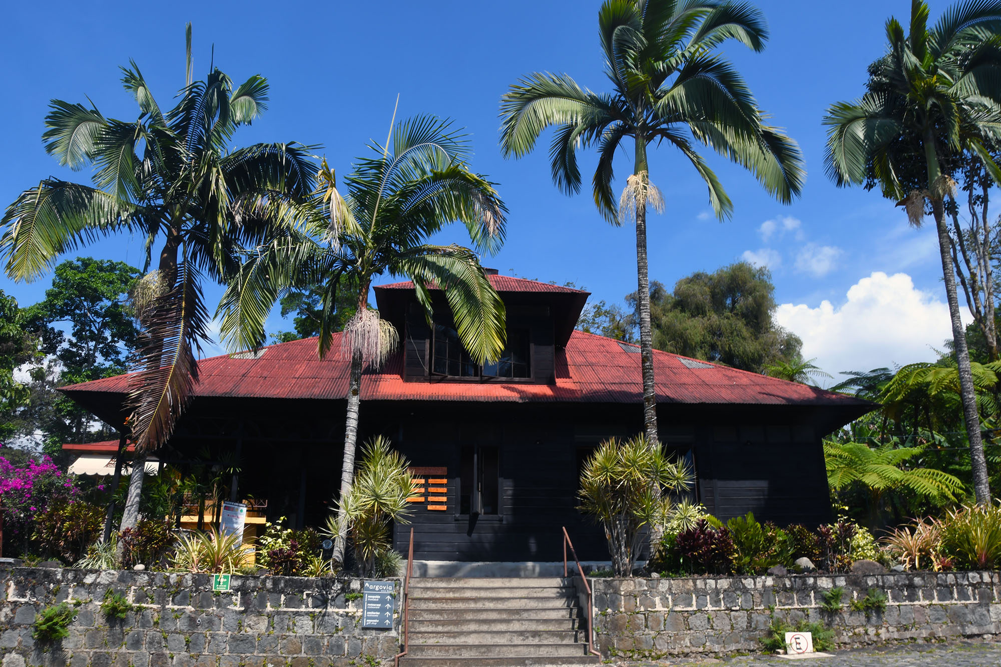
LA RUTA DEL CAFE • PANAMA POSSE – Central American Rally
To head out on this day trip leave early from marina Chiapas with Miguel Angel of Discovery Tours+52 962 133 […]
LA RUTA DEL CAFE VIA YACHT MAP
🇲🇽 SUMIDERO CANYON , CHIAPAS, MEXICO >>
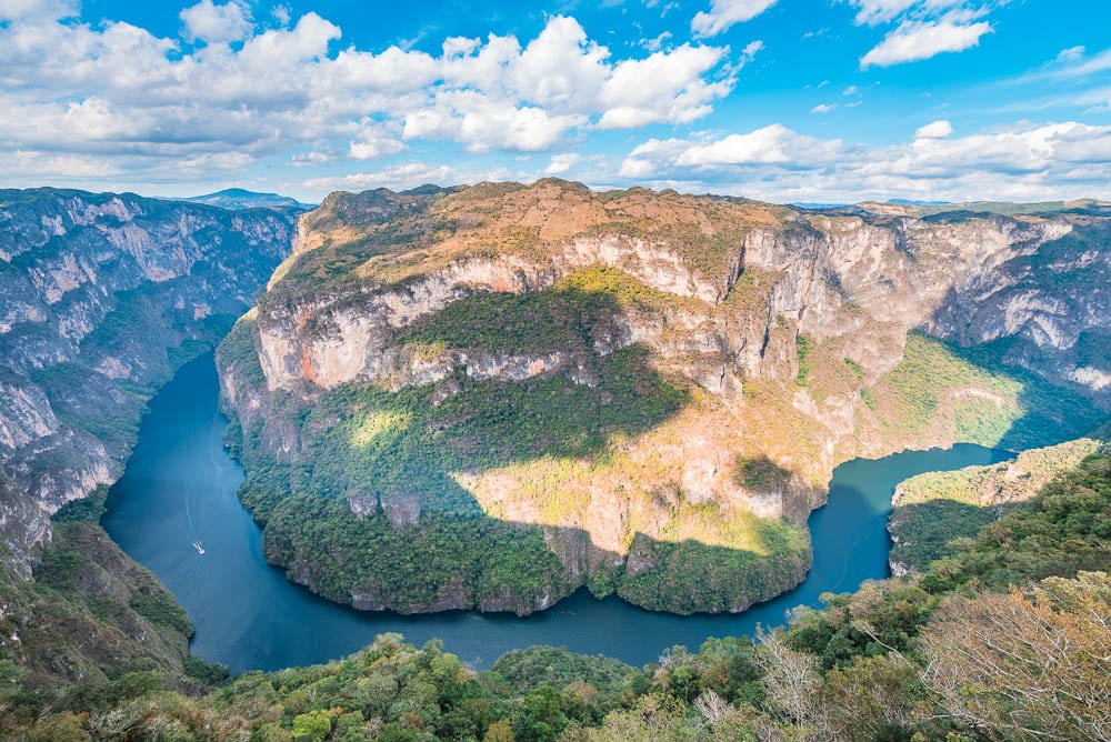
SUMIDERO CANYON • PANAMA POSSE – Central American Rally
Sumidero Canyon Cañón del Sumidero is a deep natural canyon located just north of the city of Chiapa de Corzo […]
SUMIDERO CANYON MAP FROM YOUR YACHT
VISIT THE GREAT BLUE WALL FROM YOUR OWN YACHT
VISIT THE ISLA ISABELLA, MX FROM YOUR OWN YACHT
VISIT THE GALAPAGOS FROM YOUR OWN YACHT

CIUDAD PERDIDA LOST CITY YACHTING VISITORS MAP
 CASCO VIEJO, PANAMA >>
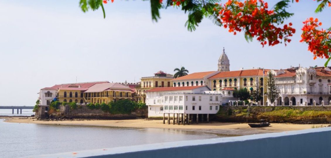
🇵🇦 CASCO VIEJO • PANAMA POSSE – Central American Rally
🇵🇦 CASCO VIEJO, PANAMA The quaint and historic streets in Casco Viejo Casco Viejo (Old Quarter), also known as Casco […]
CASCO VIEJO PANAMA YACHTING VISITORS MAP
MANUEL ANTONIO NATIONAL PARK VSITING YACHTS MAP
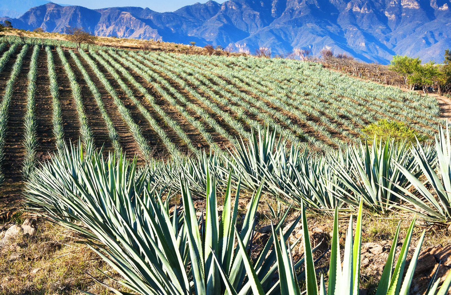
TEQUILA, JALISCO, VISITING YACHTS MAP

COPPER CANON FOR VISITING YACHTS ACCESS MAP
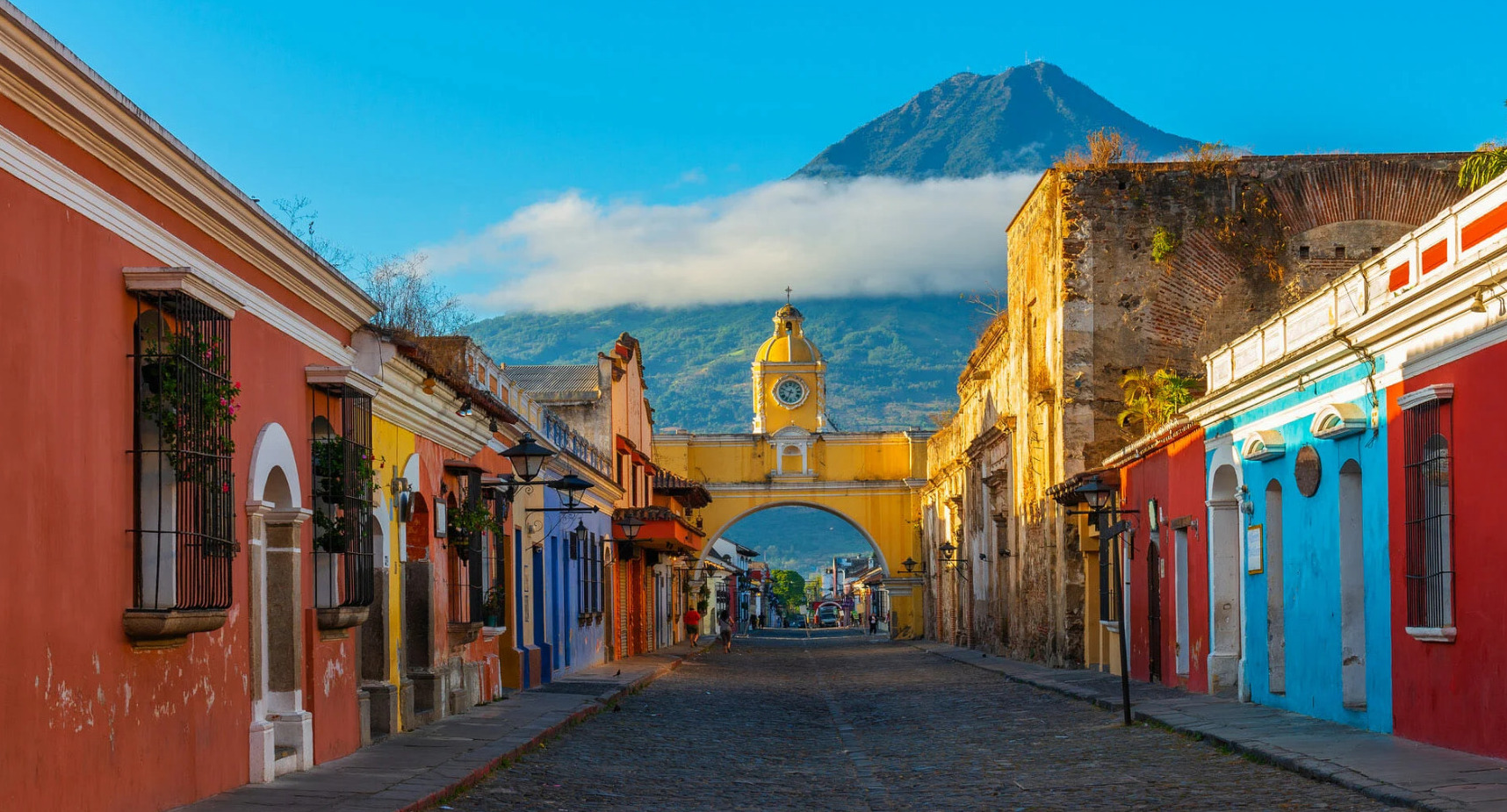
ANTIGUA GUATEMALA FOR VISITING YACHTS ACCESS MAP
 SUNKEN PIRATE CITY AT PORT ROYAL , JAMAICA >>
SUNKEN PIRATE CITY AT PORT ROYAL VISITING YACHTS MAP

TIKAL HOW TO GET TO FOR VISITING YACHTS MAP
PORTOBELO – FORT SAN LORENZO PANAMA VISITING YACHTS MAP
|
|
CORONADO SAN DIEGO CALIFORNIA VIA YACHT MAP
 Diquís Delta settlements COSTA RICA >>
Precolumbian Chiefdom Settlements with of the Diquís Stone Spheres VIA YACHT MAP
🇲🇽 Rock Paintings of the Sierra de San Francisco , Baja California, Mexico >>

Sierra de San Francisco • PANAMA POSSE – Central American Rally
Rock Paintings of the Sierra de San Francisco From c. 100 B.C. to A.D. 1300, the Sierra de San Francisco […]
BAJA CALIFORNIA ROCK PAINTINGS VIA YACHT
FORTIFICATIONS OF CARTAGENA / Castillo San Felipe de Barajas >>
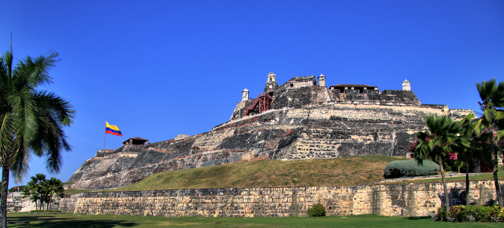
Fortifications of Cartagena 🇨🇴 COLOMBIA • PANAMA POSSE – Central American Rally
🇨🇴 Castillo San Felipe de Barajas & Fortifications of Cartagena, Colombia The Castillo San Felipe de Barajas is the largest […]
Castillo San Felipe de Barajas & Fortifications of Cartagena, Colombia
Sian Kaʼan >>
https://panamaposse.com/sian-kaan-biosphere
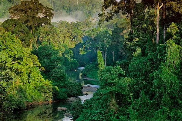
In the Mayan language it means “Where the sky is born”. This is the name of the Biosphere Reserve that is located in the south – east of the Yucatan Peninsula, which was declared by UNESCO in 1987 “Natural Heritage of Humanity”. The Reserve occupies an area of 528 thousand 147 hectares, where they are home to hundreds of different species of flora and fauna. Some species are in danger of extinction, therefore the Reserve is a protected area.
A dirt road starts from Tulum that, following the coastline, reaches Punta Allen. The path allows you to appreciate a wonderful landscape as well as flora and fauna.
A dirt road starts from Tulum that, following the coastline, reaches Punta Allen. The path allows you to appreciate a wonderful landscape as well as flora and fauna.
Sian Ka’an VIA YACHT MAP
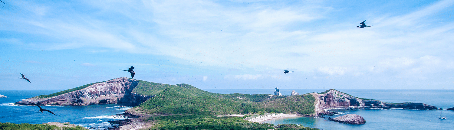
Revillagigedo Islands  MEXICO PACIFIC >>
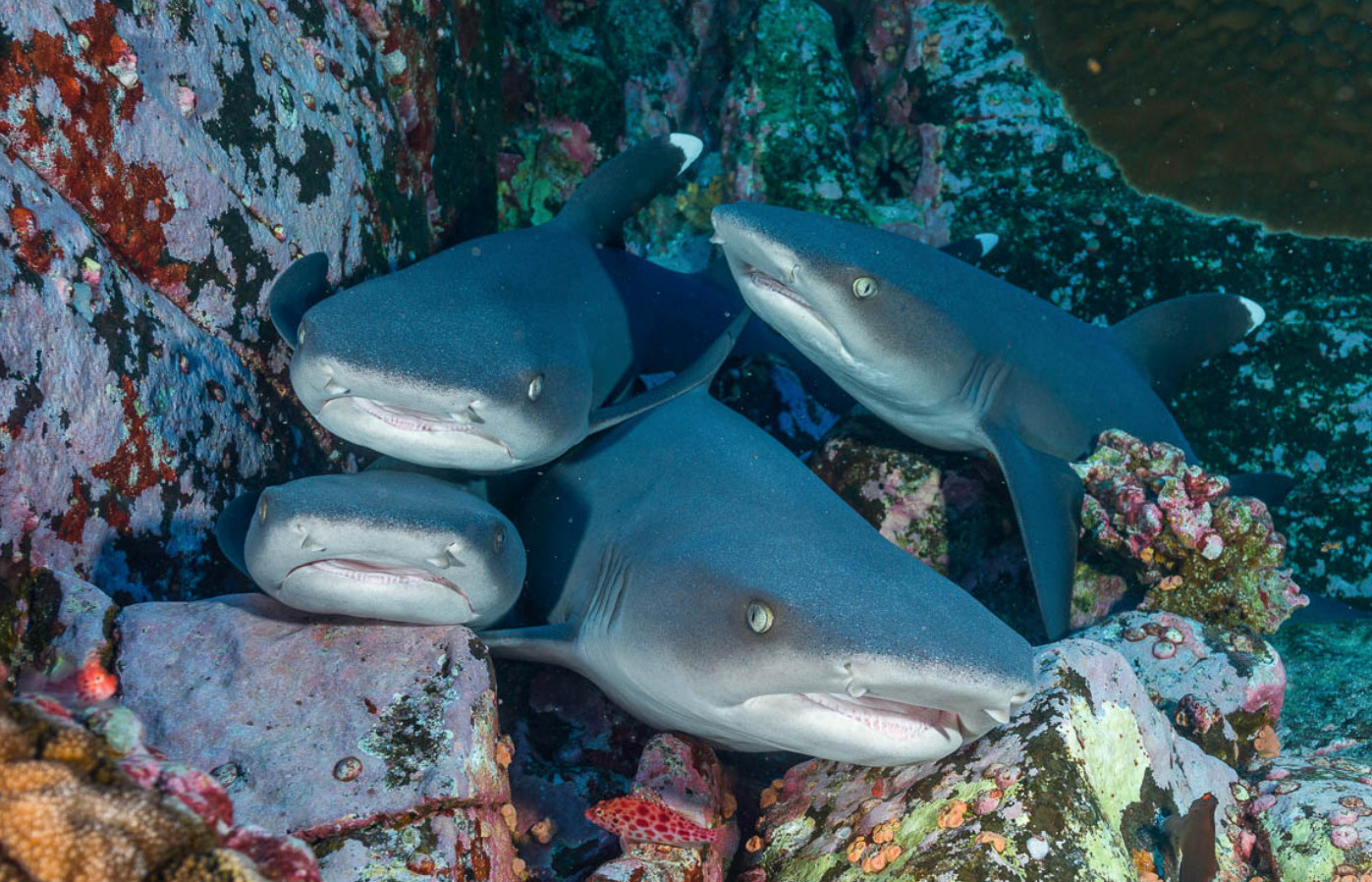
REVILLAGIGEDO ISLANDS 🇲🇽 MEXICO PACIFIC • PANAMA POSSE – Central American Rally
Revillagigedo Islands 🇲🇽 MEXICO PACIFIC Archipelago in the Pacific Ocean, approximately 235 nm SSW of the tip of the Baja […]
REVILLAGIGEDO (SOCORRO ) ISLANDS VISIT FROM YOUR YACHT MAP >>
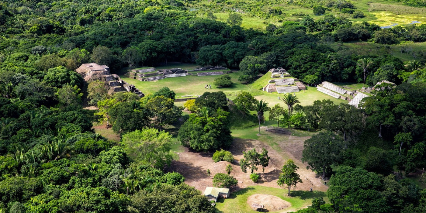
 BELIZE >>