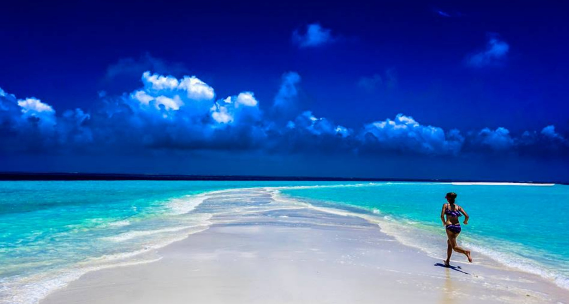
NEW CALEDONIA CIRCUMNAVIGATION
NEW CALEDONIA CIRCUMNAVIGATION
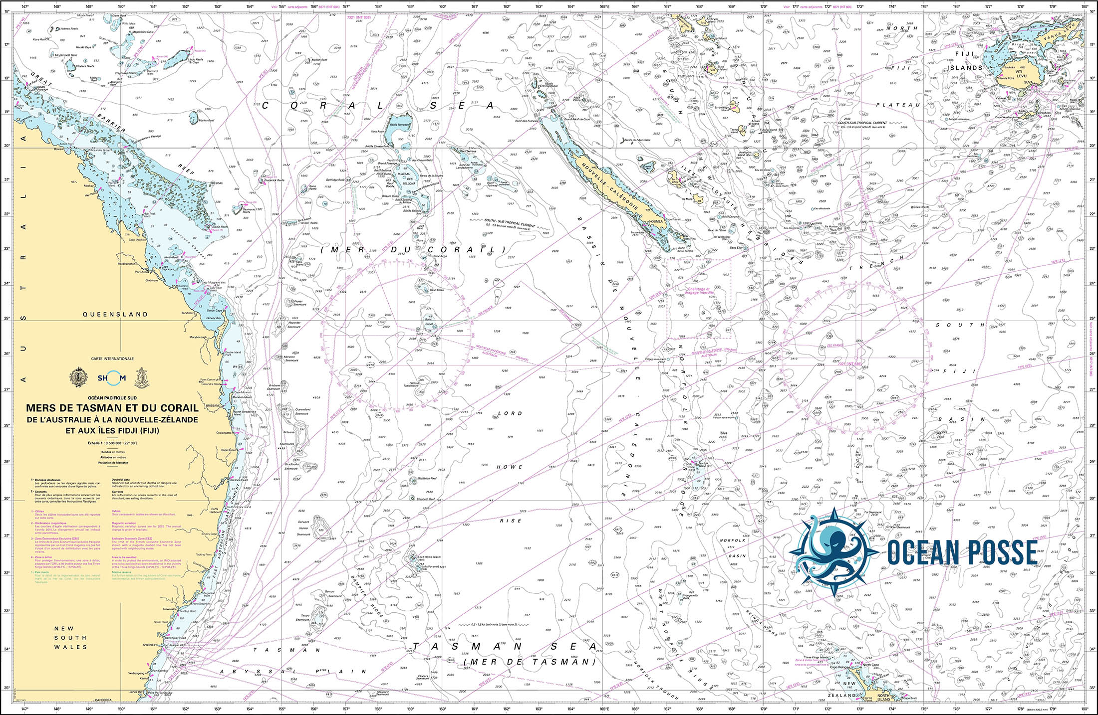
A circumnavigation of New Caledonia is a rewarding but challenging undertaking. The island group lies in the South Pacific, fringed by one of the world’s largest lagoons and the second-largest barrier reef after Australia’s. Here’s a breakdown from a captain’s perspective starting at the main POE of NOUMEA:
Overview
Distance: Roughly 600–700 nautical miles to circle the main island (Grande Terre), depending on your route inside or outside the reef.
Timeframe: 3–6 weeks at a comfortable cruising pace, with time for stops and weather waiting.
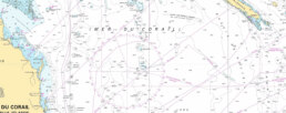
Charts & Navigation: OpenCPN, Navionics, and SHOM charts are essential. Google Earth overlays are widely used for tricky reef passes.
Anchorage Sources: Good Nautical
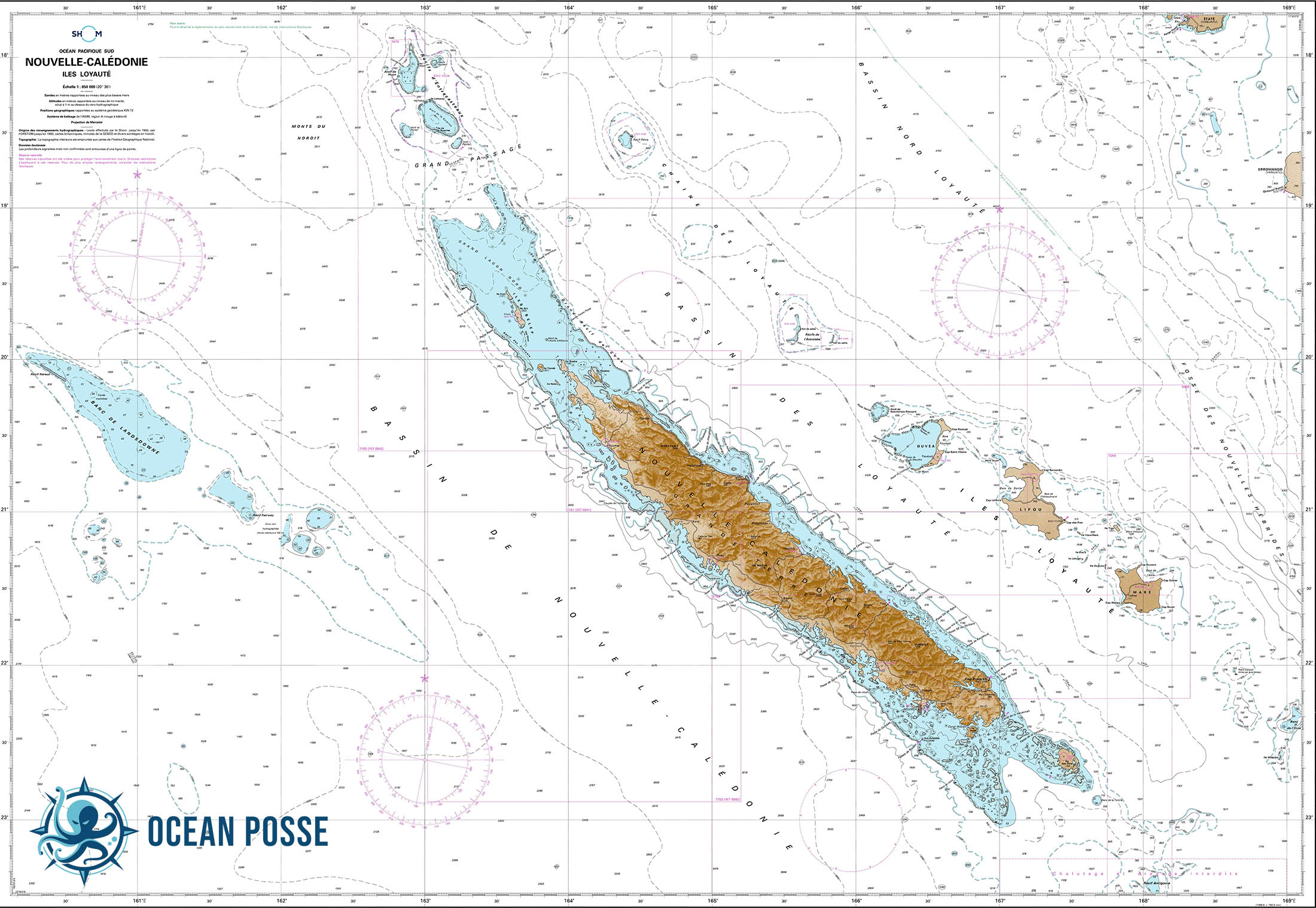
NEW CALEDONIA CHART
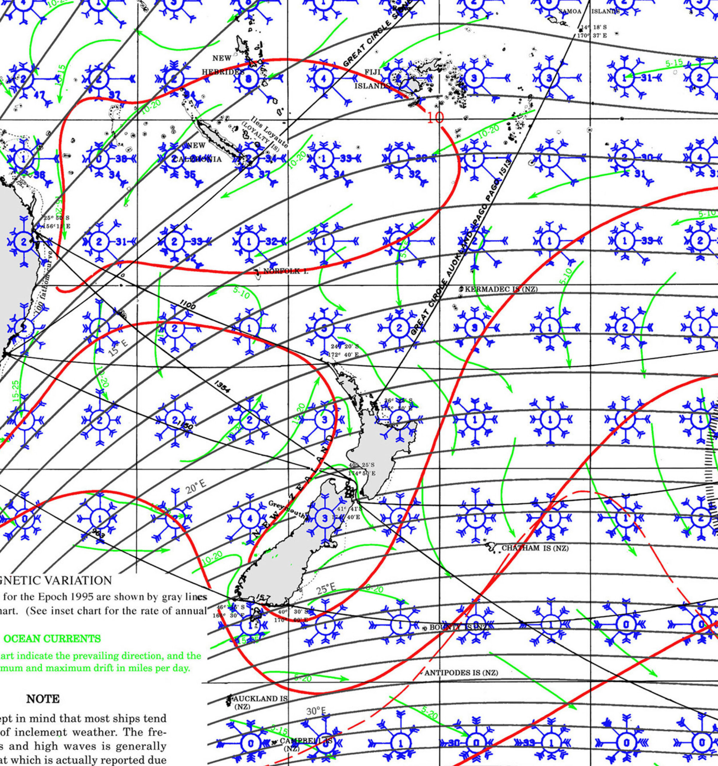
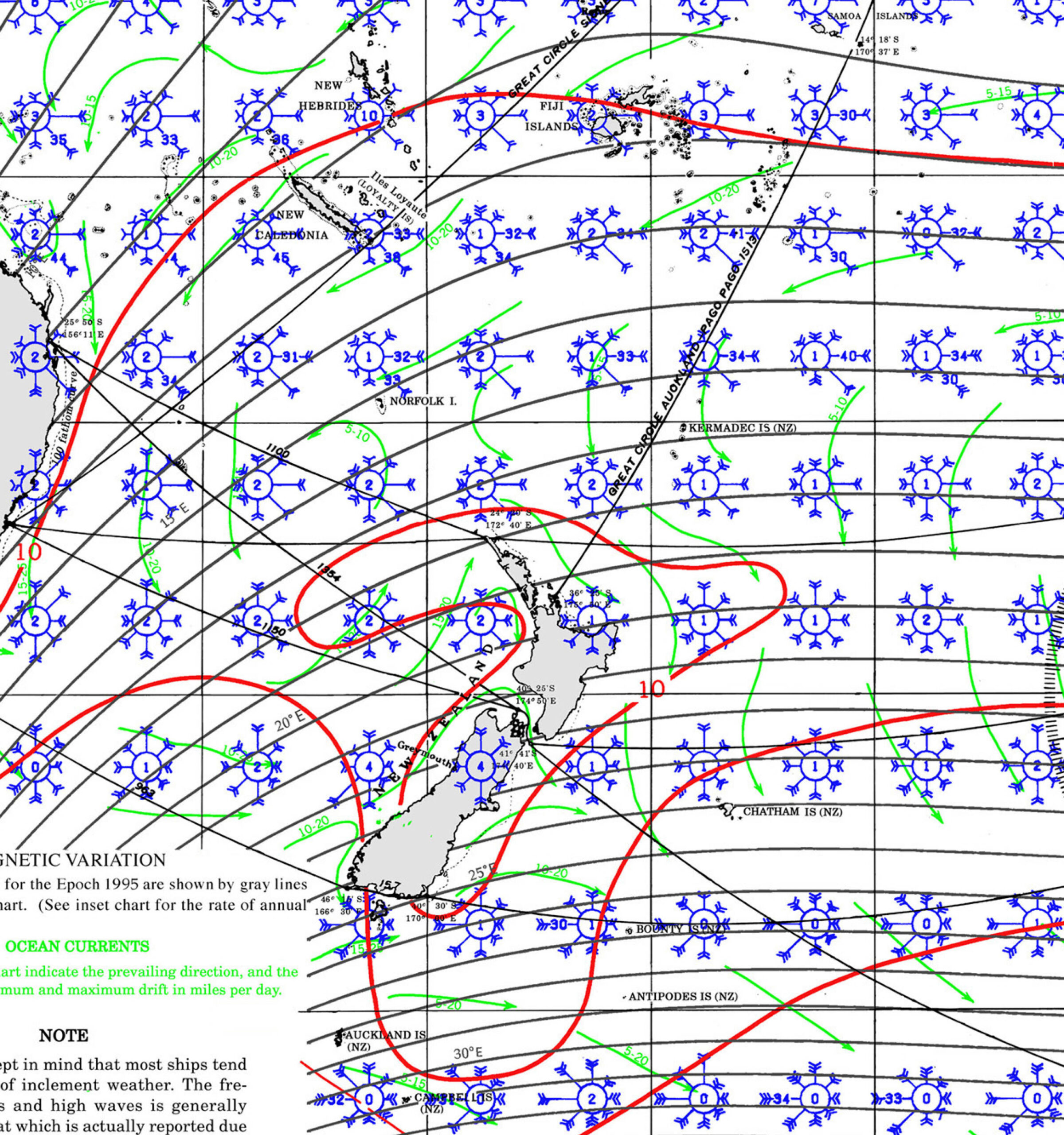
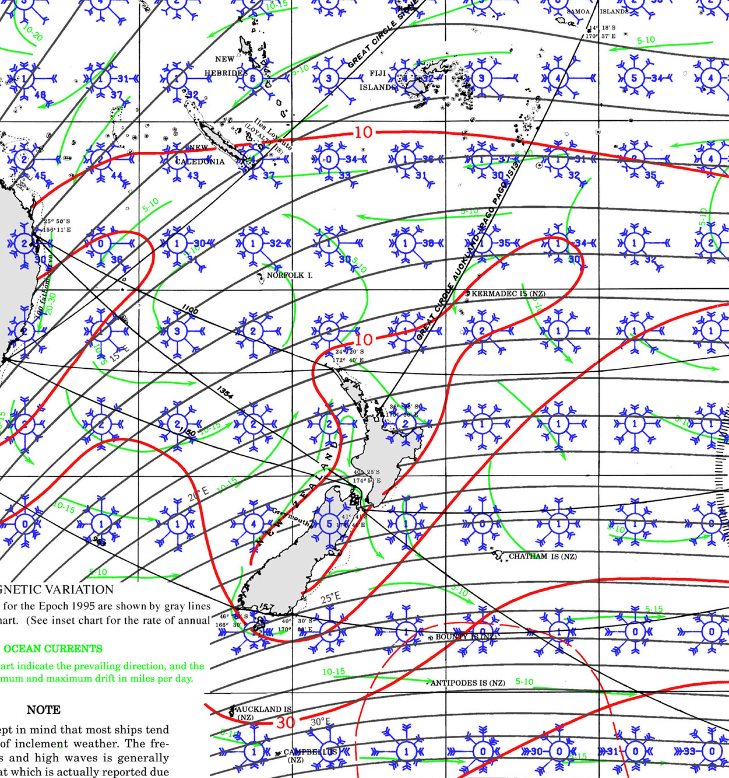
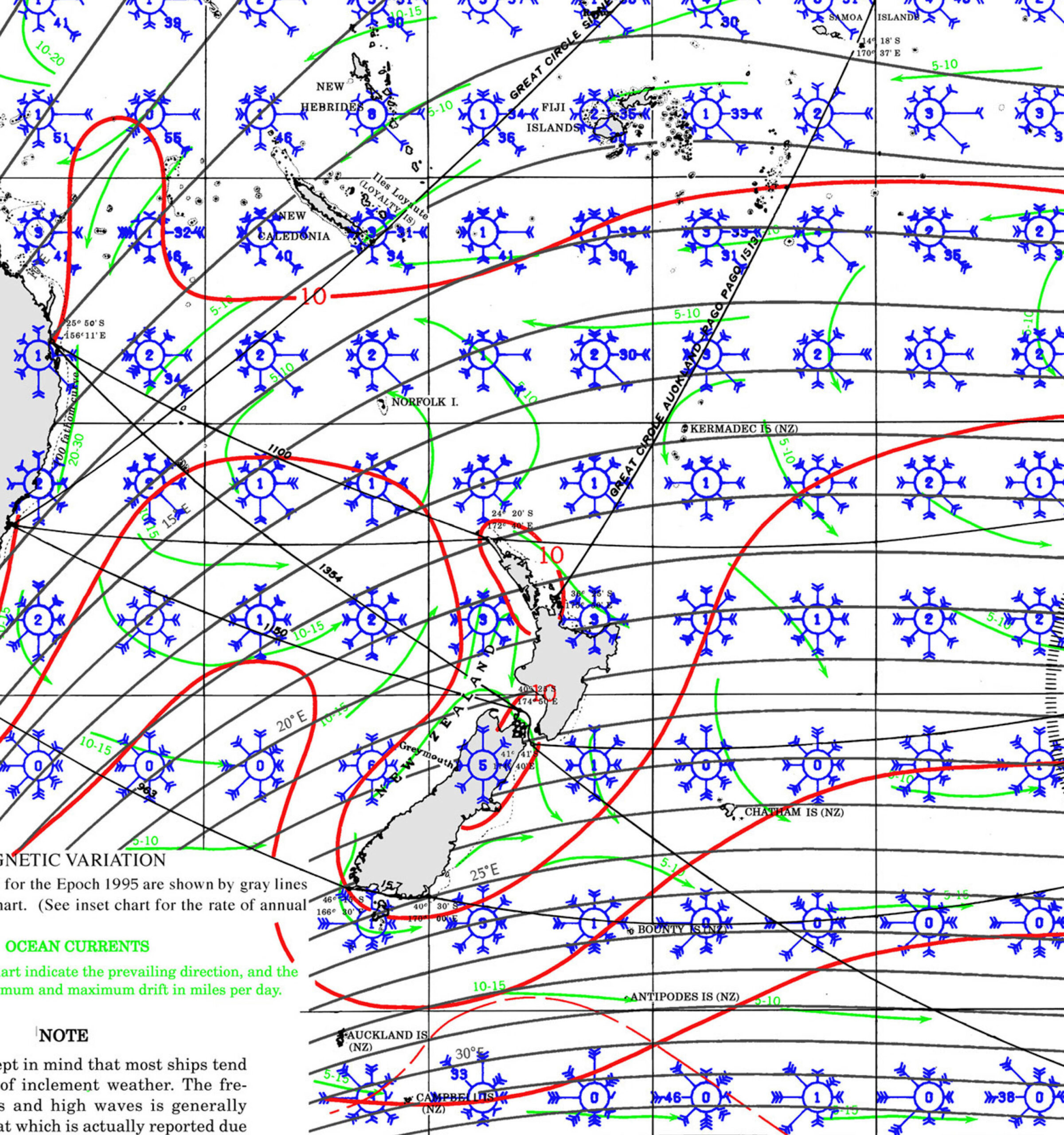
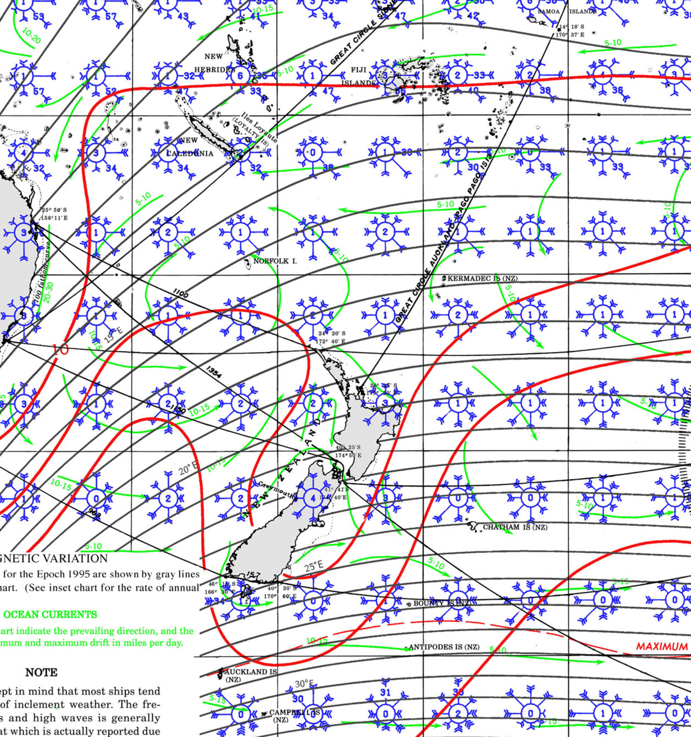
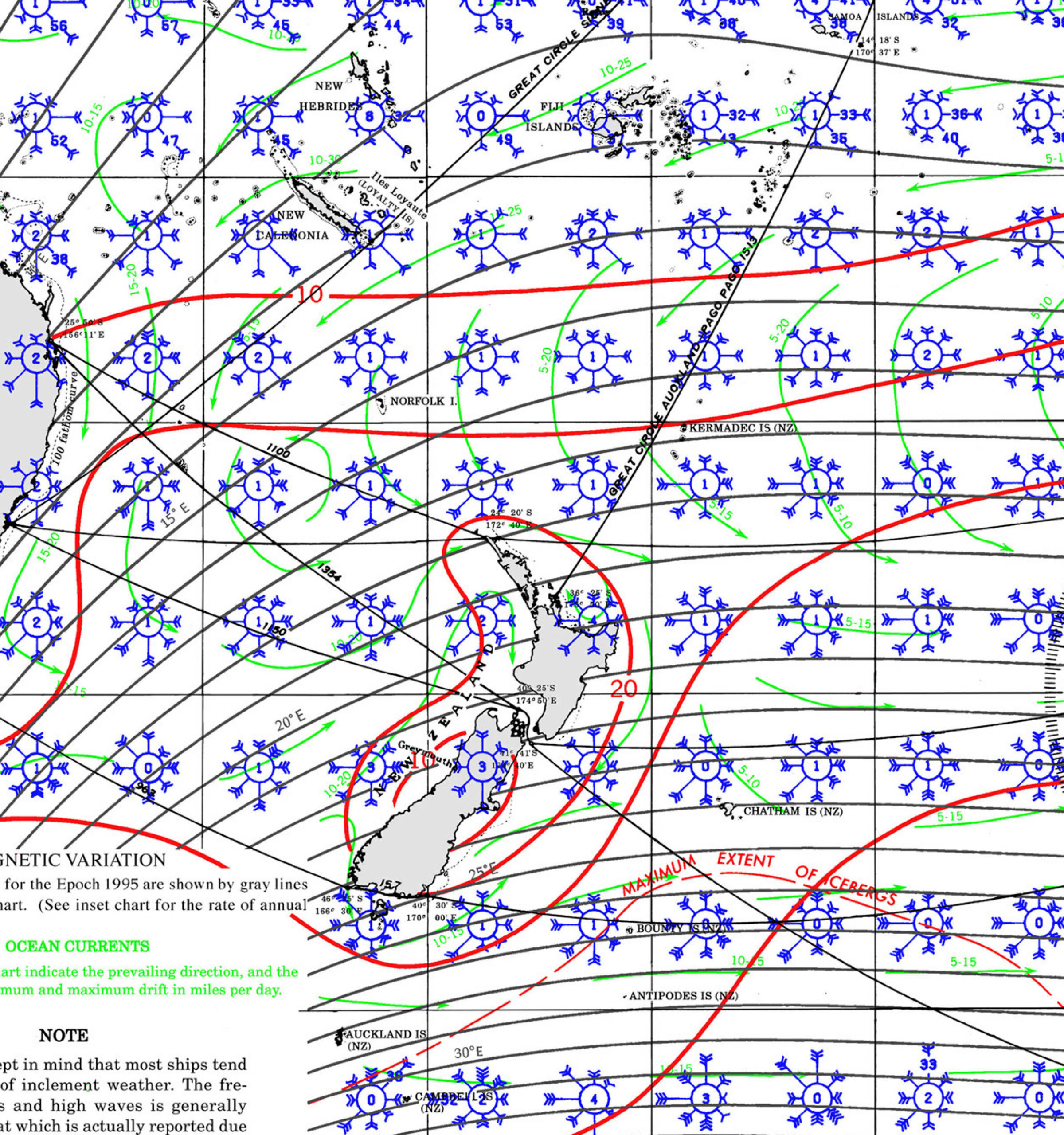
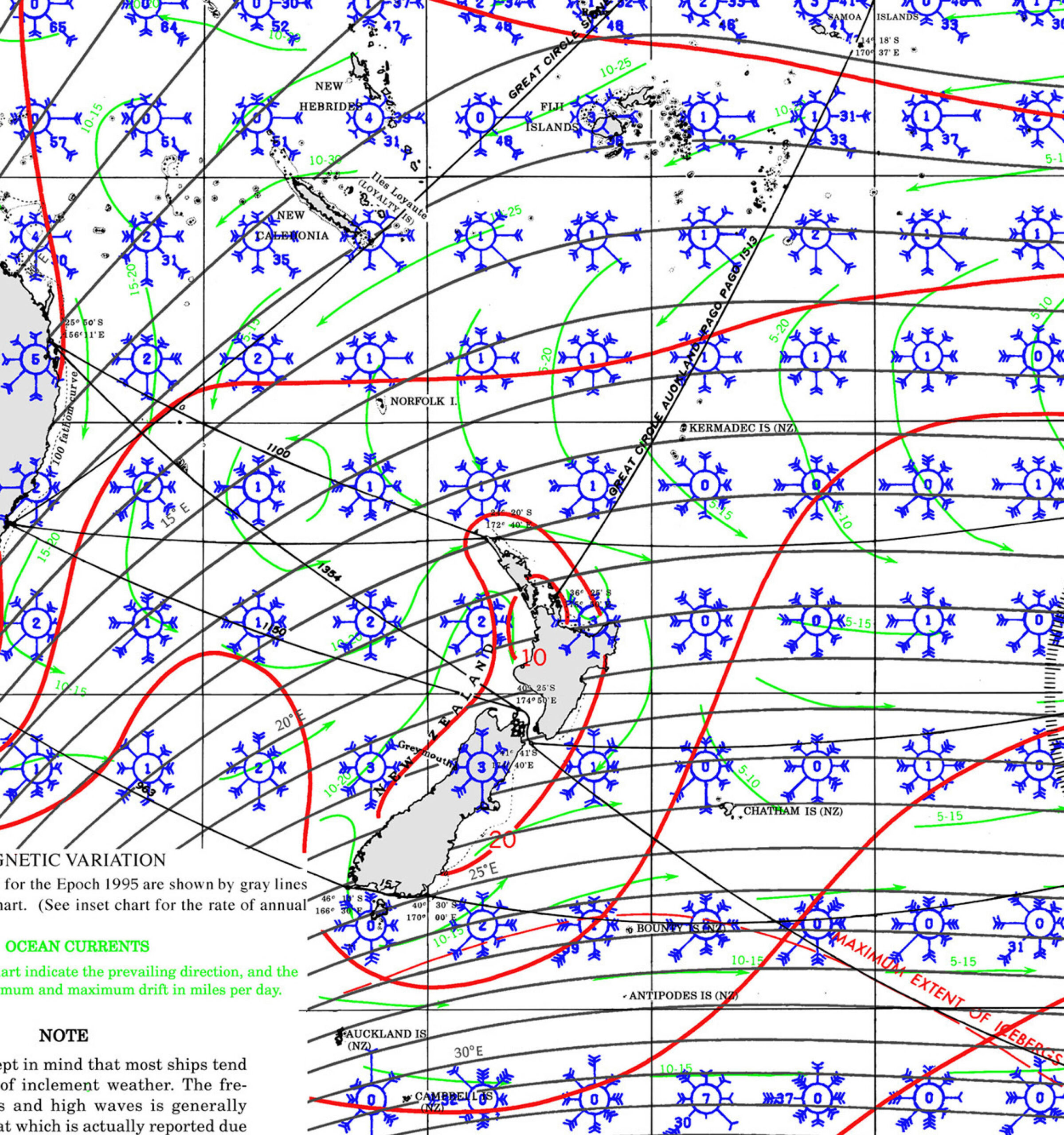
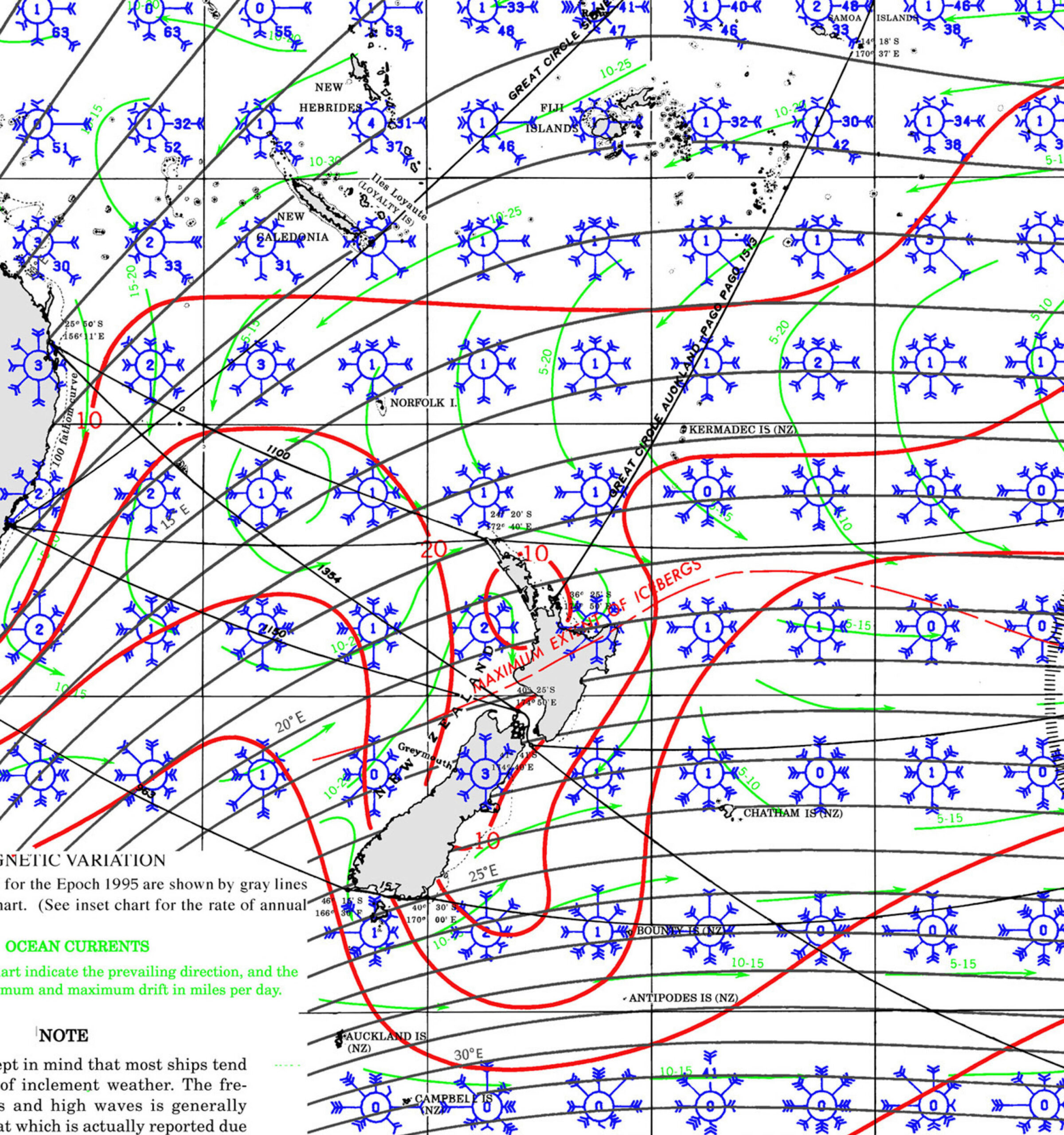
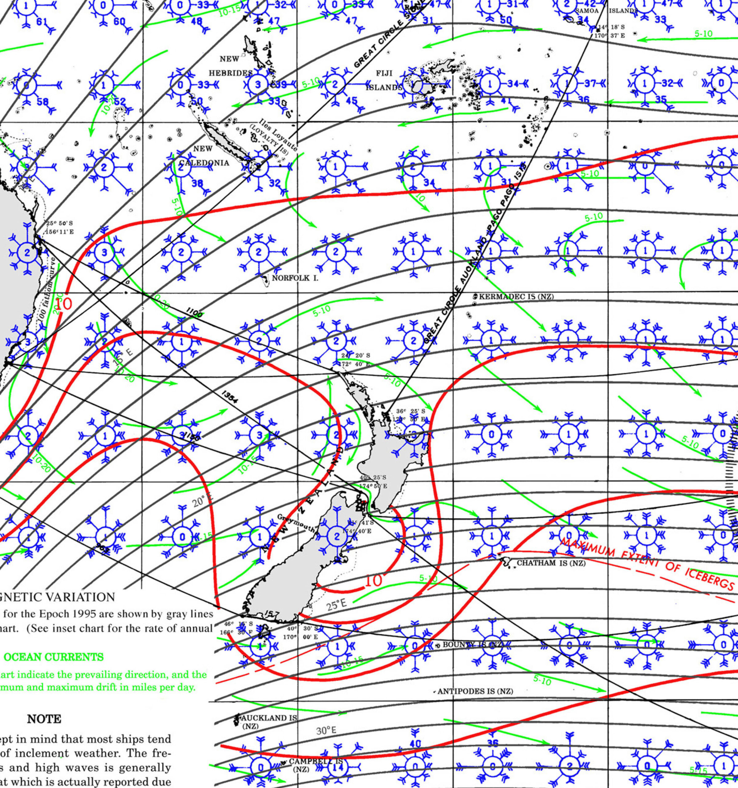
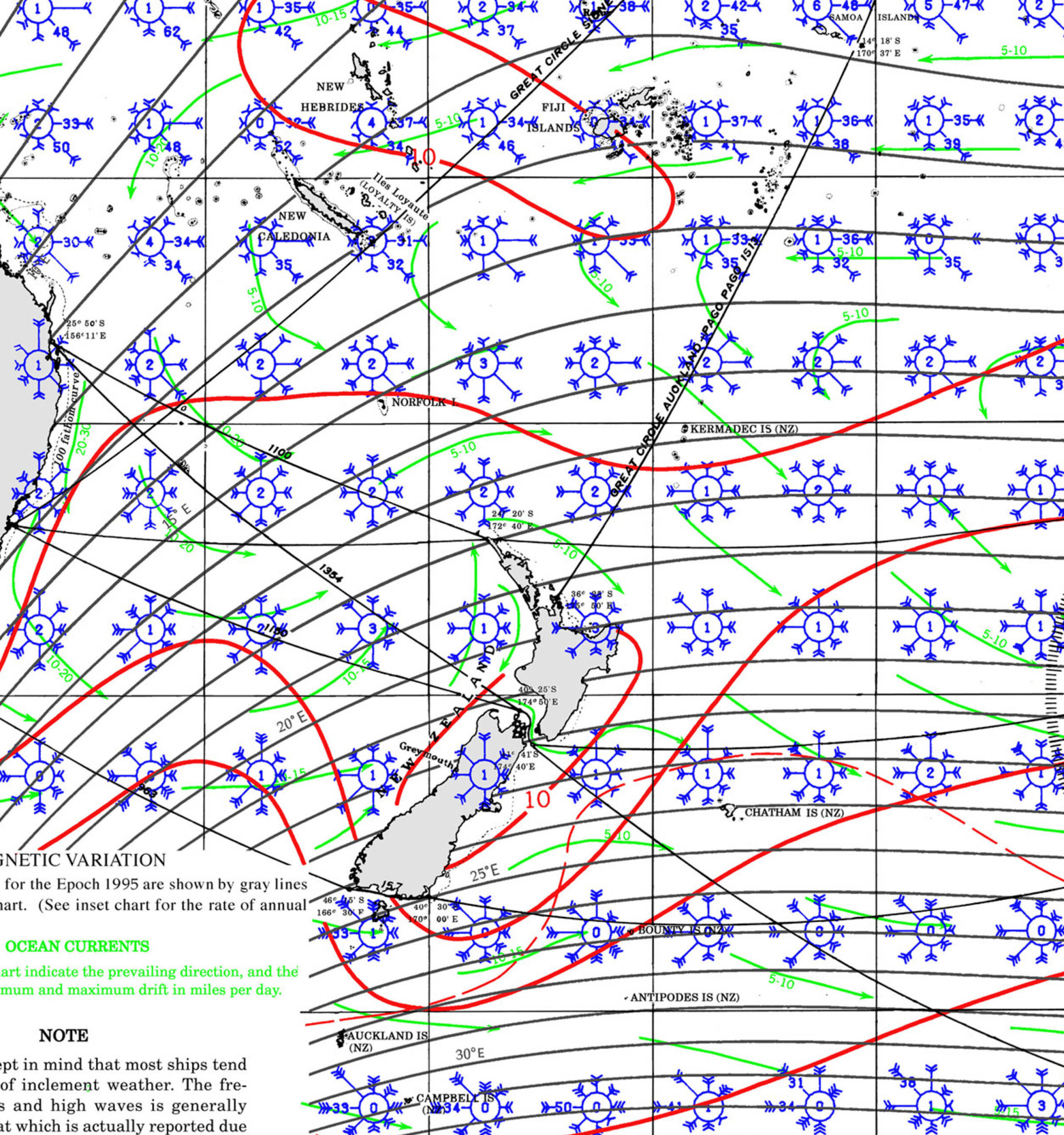
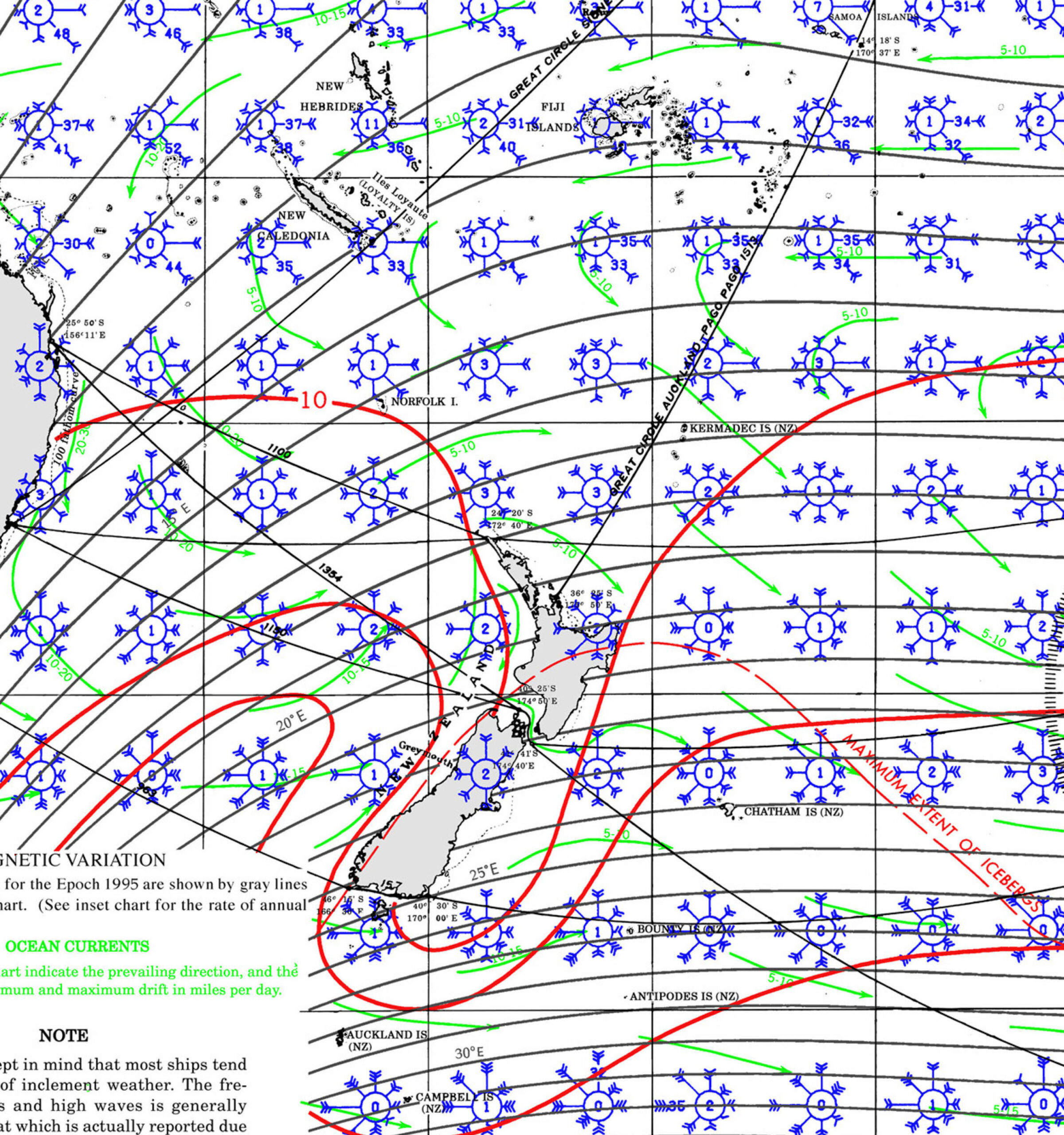
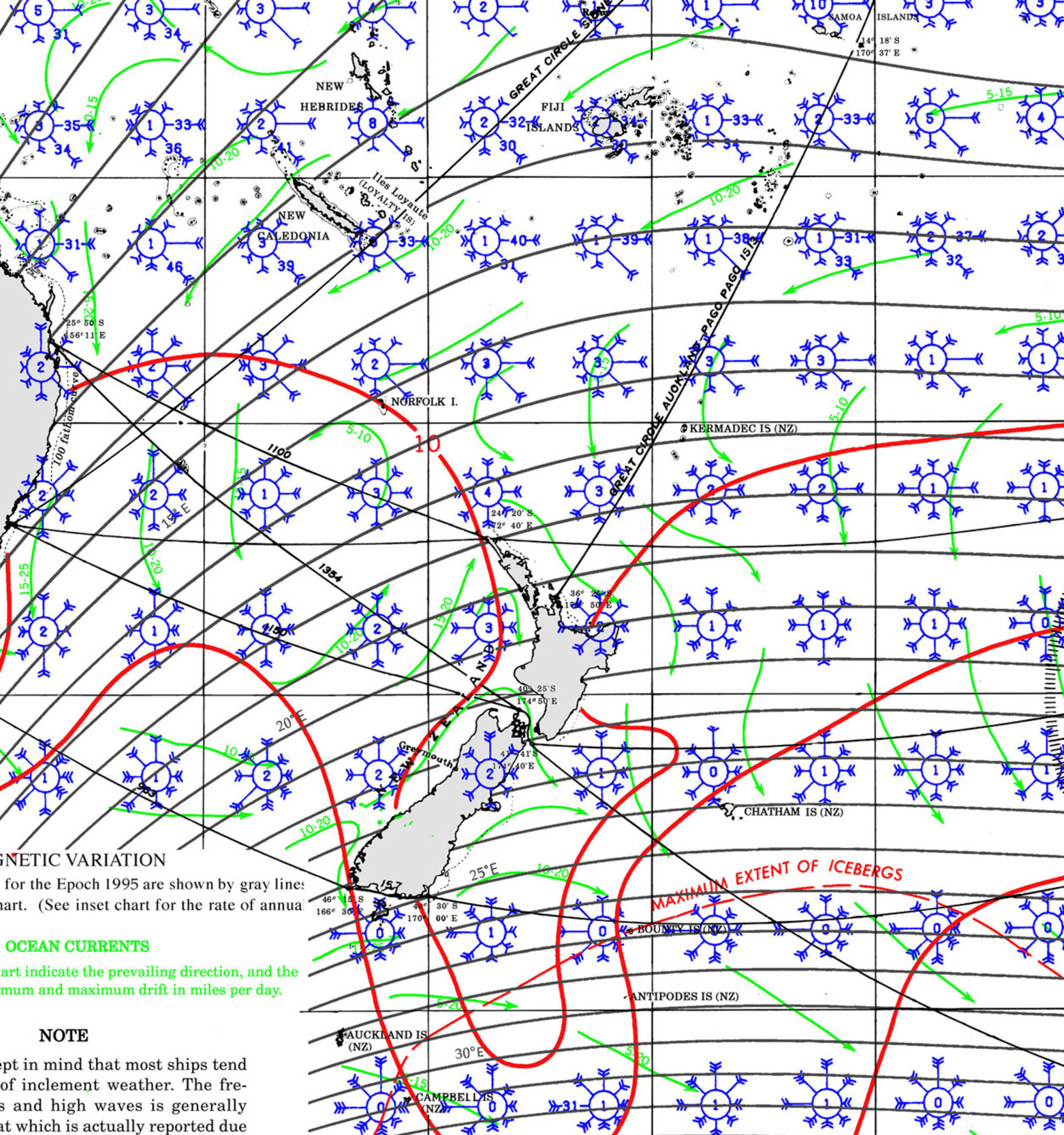
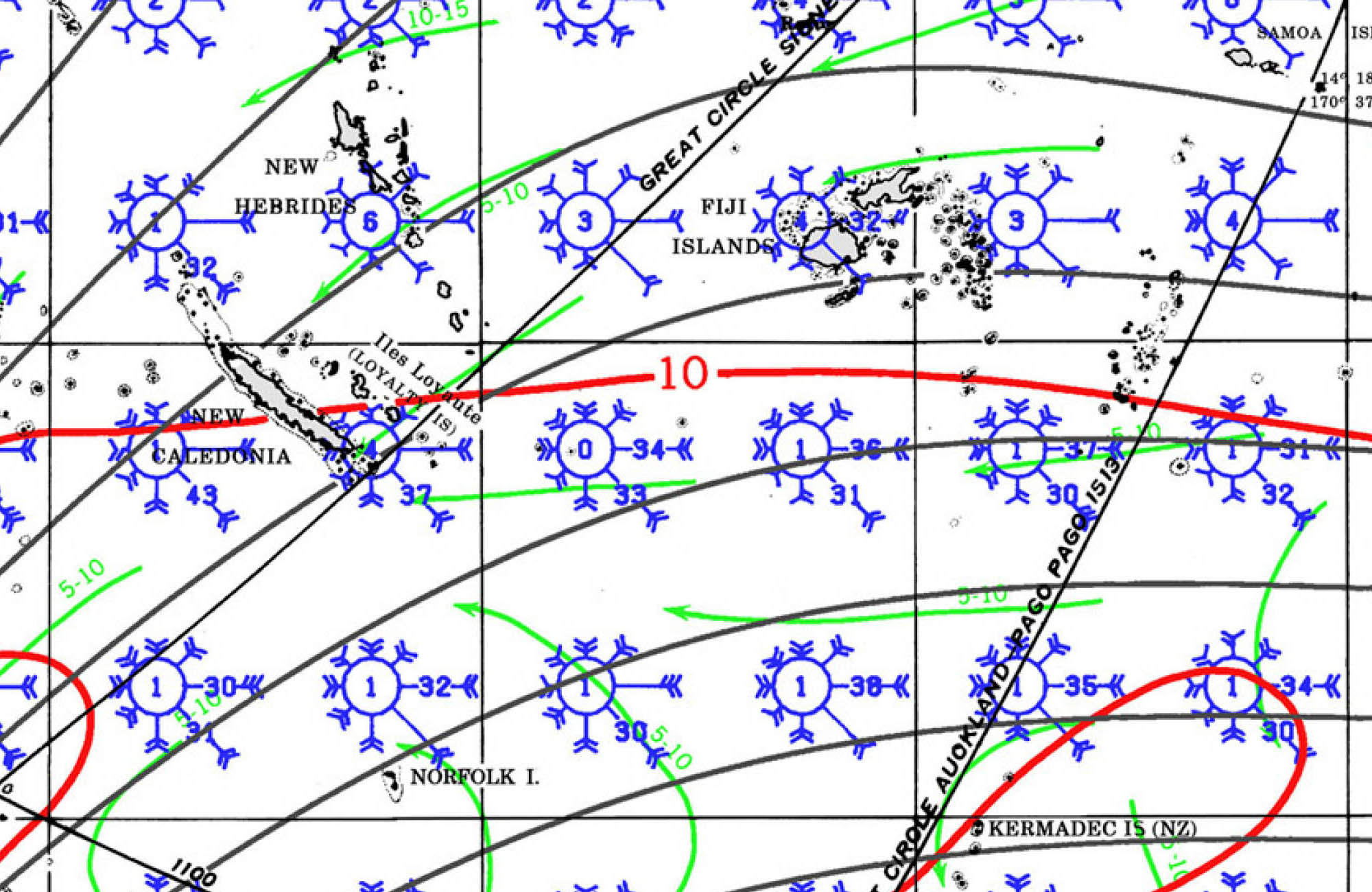
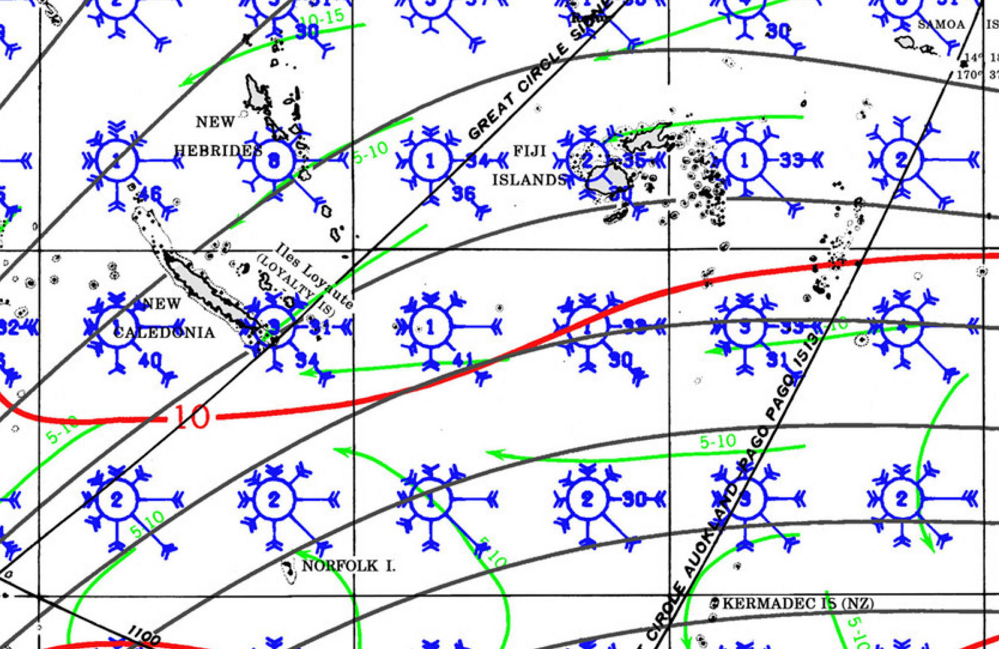
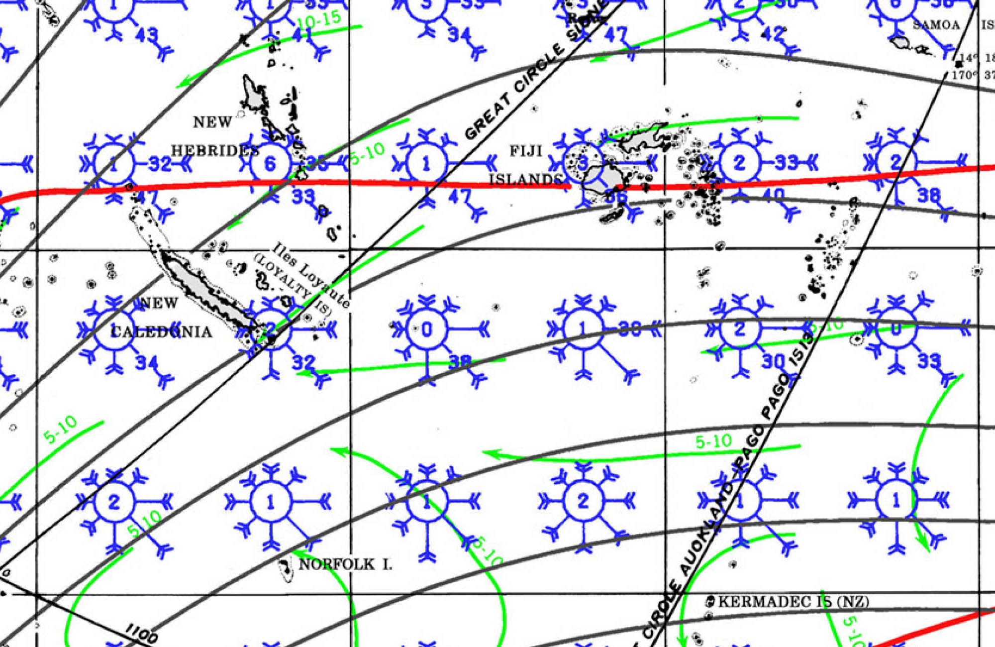
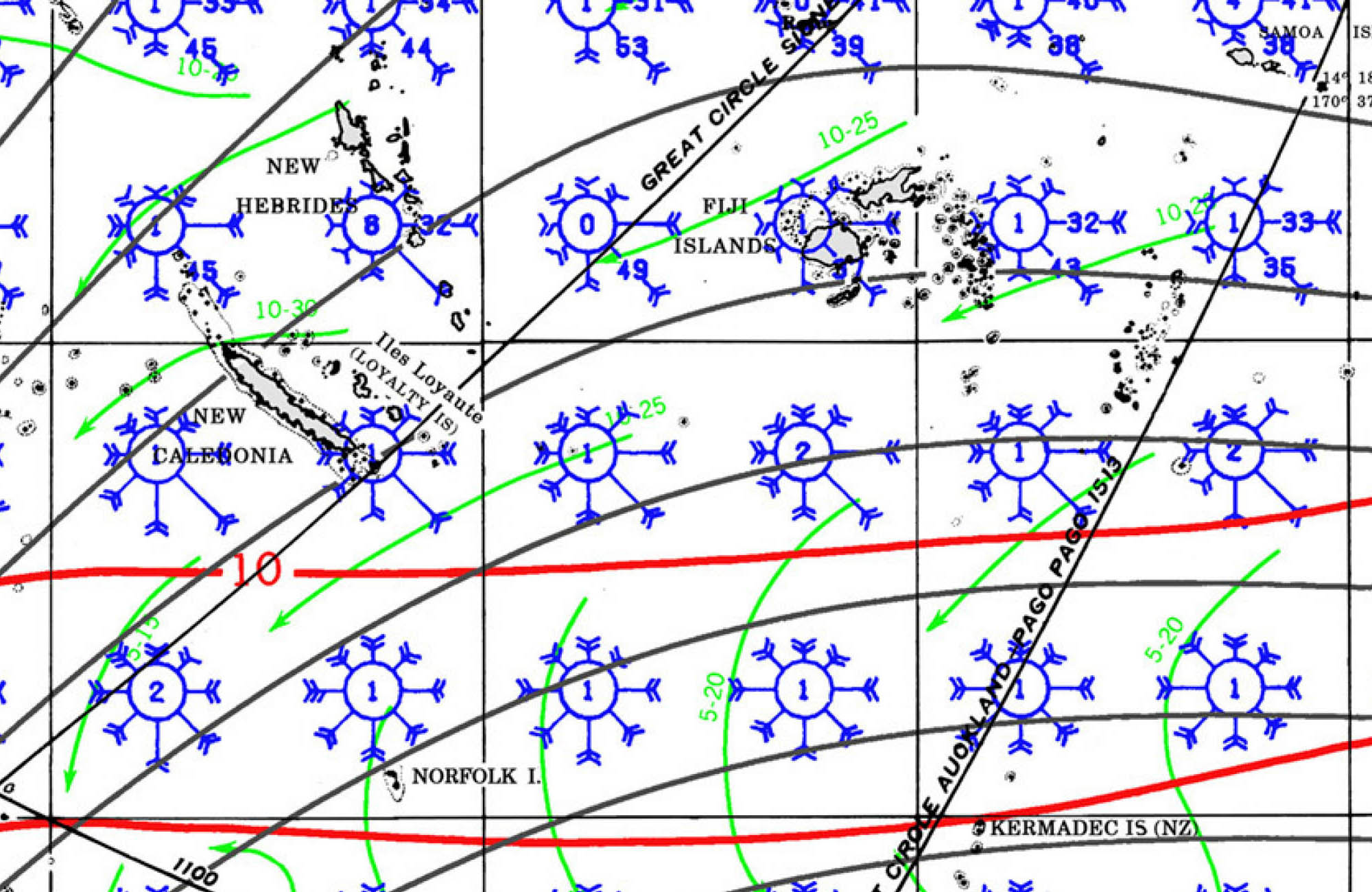
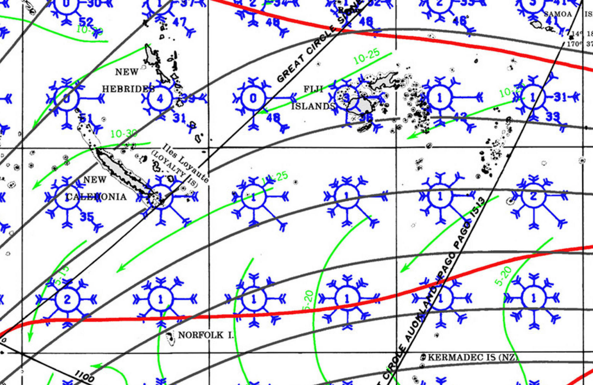
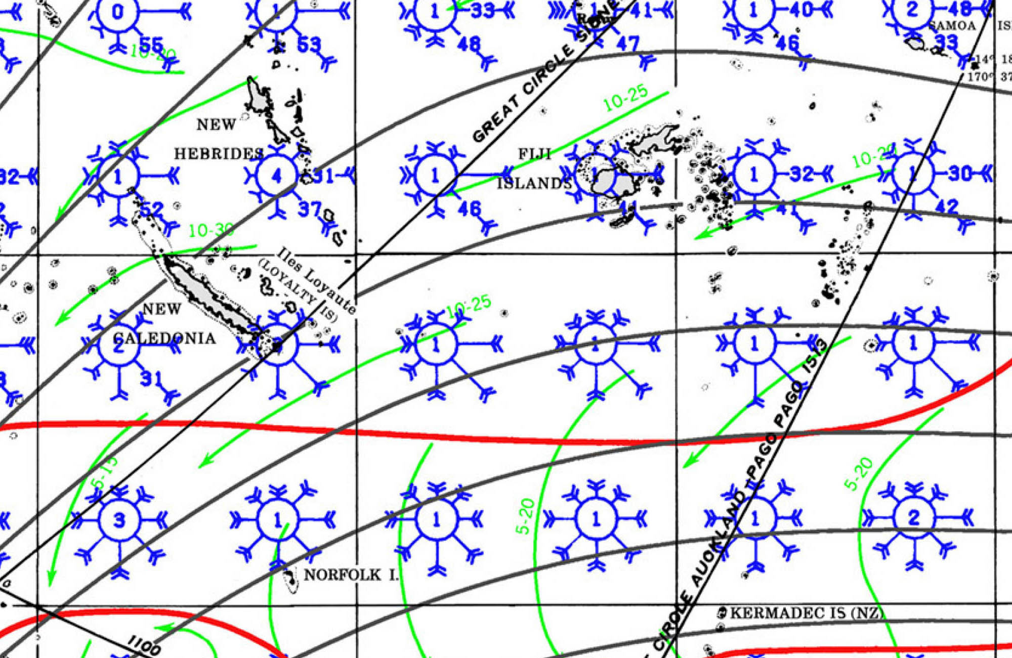
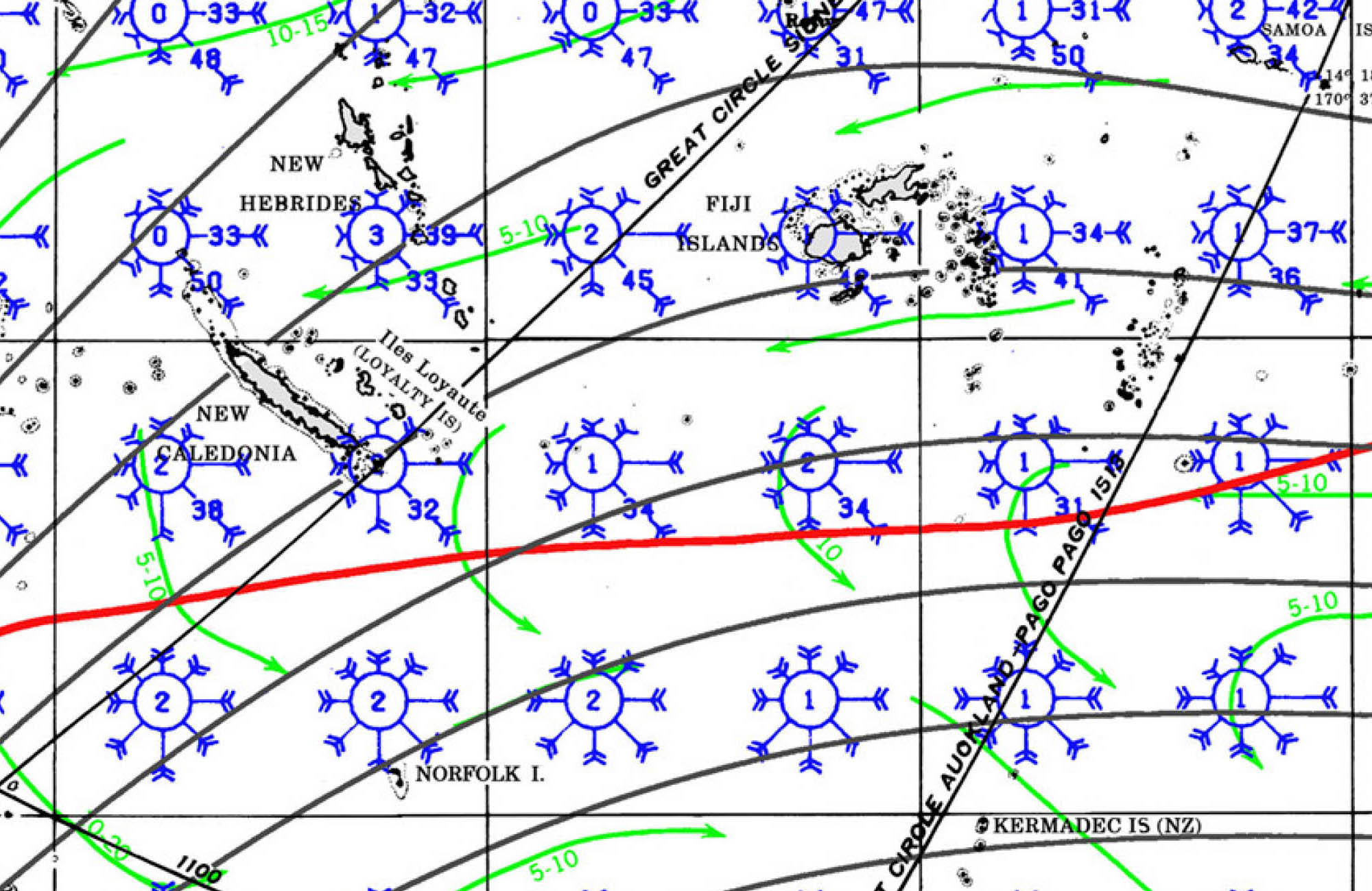
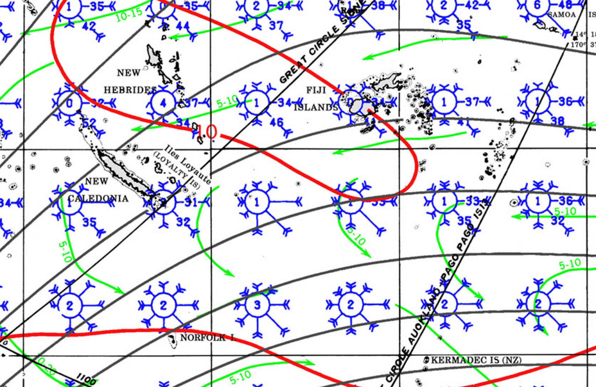
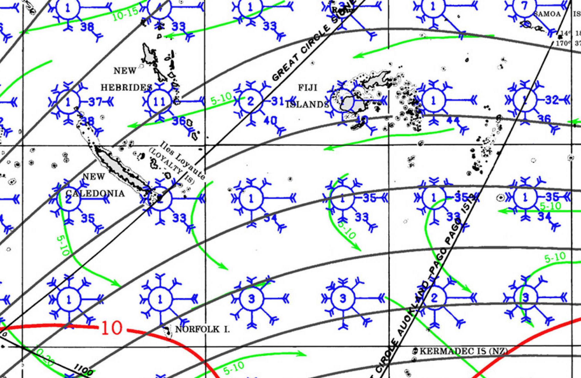
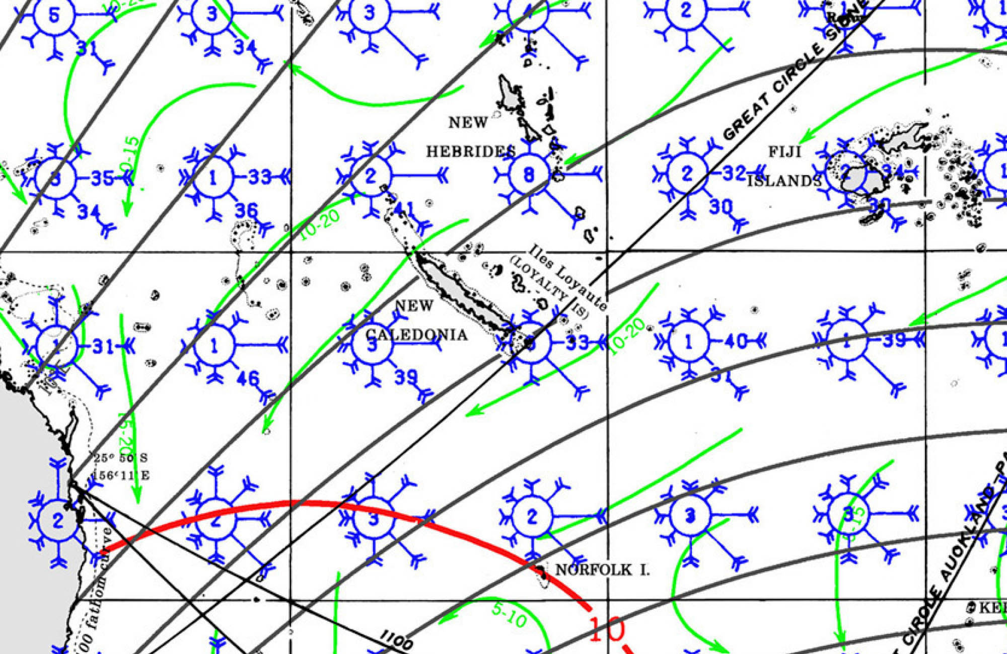
PILOT CHARTS
ANCHORAGES
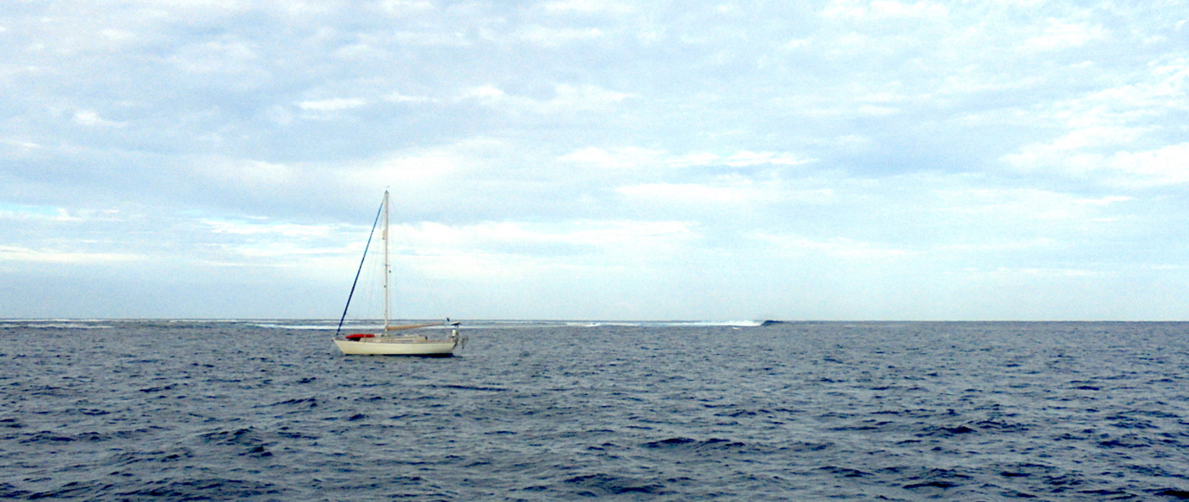
Circumnavigating New Caledonia is typically done in a counter-clockwise direction. This is because the prevailing southeast trade winds are more favorable when sailing north along the east coast and then south along the sheltered west coast
Counter-Clockwise Route 6 main sections (approx. 6-8 weeks enjoying and waiting for some weather windows )
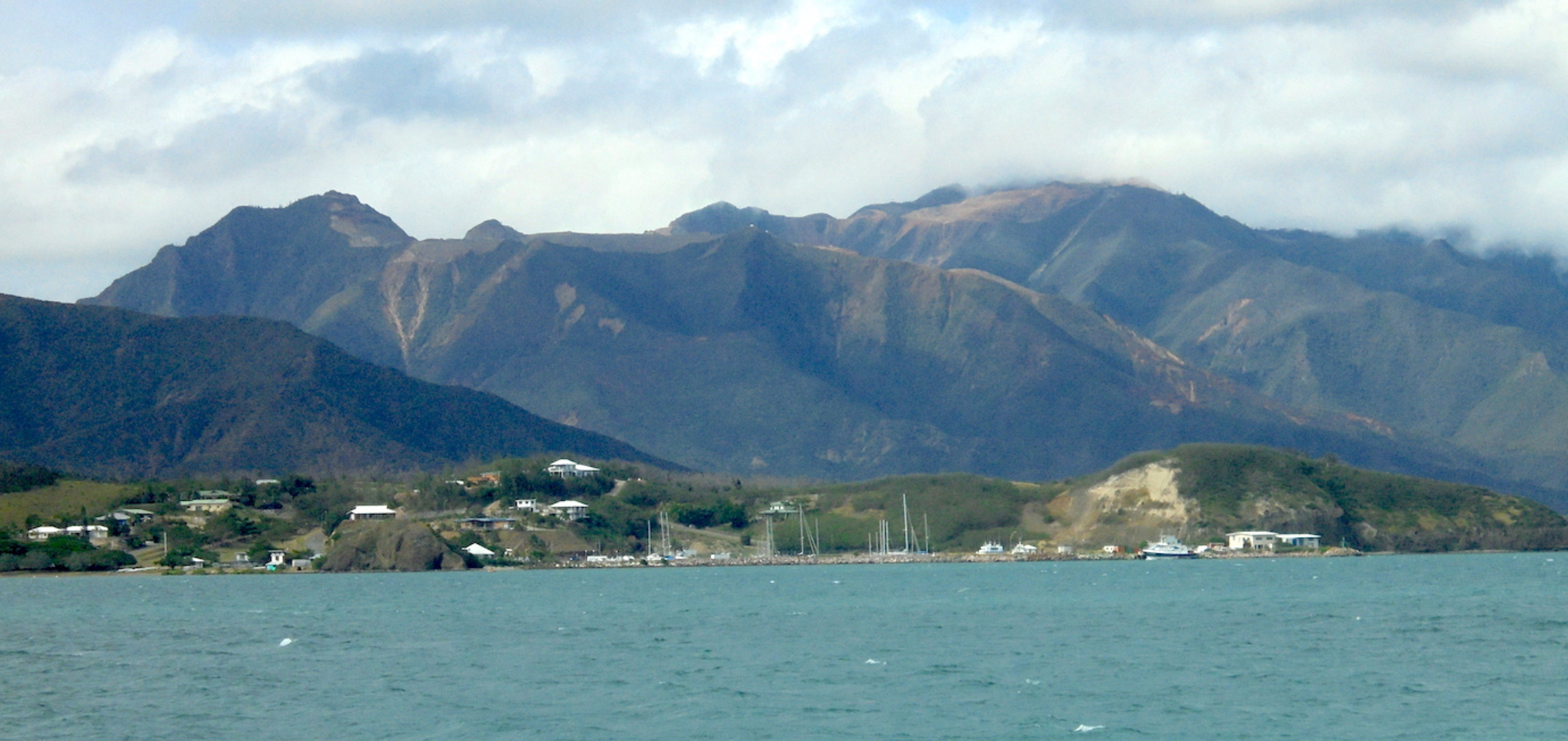
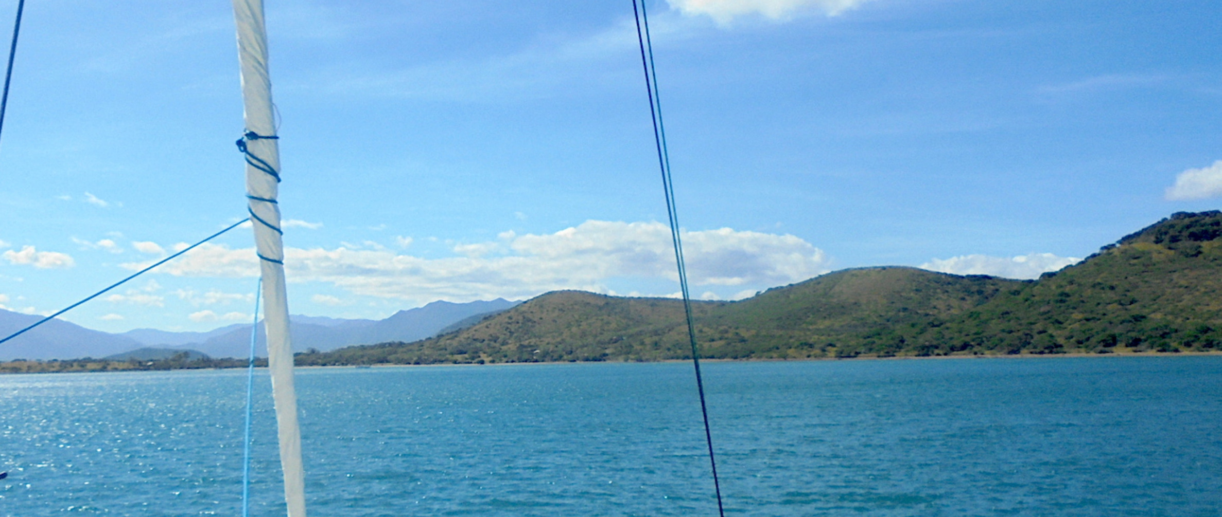
1. Nouméa → West Coast North
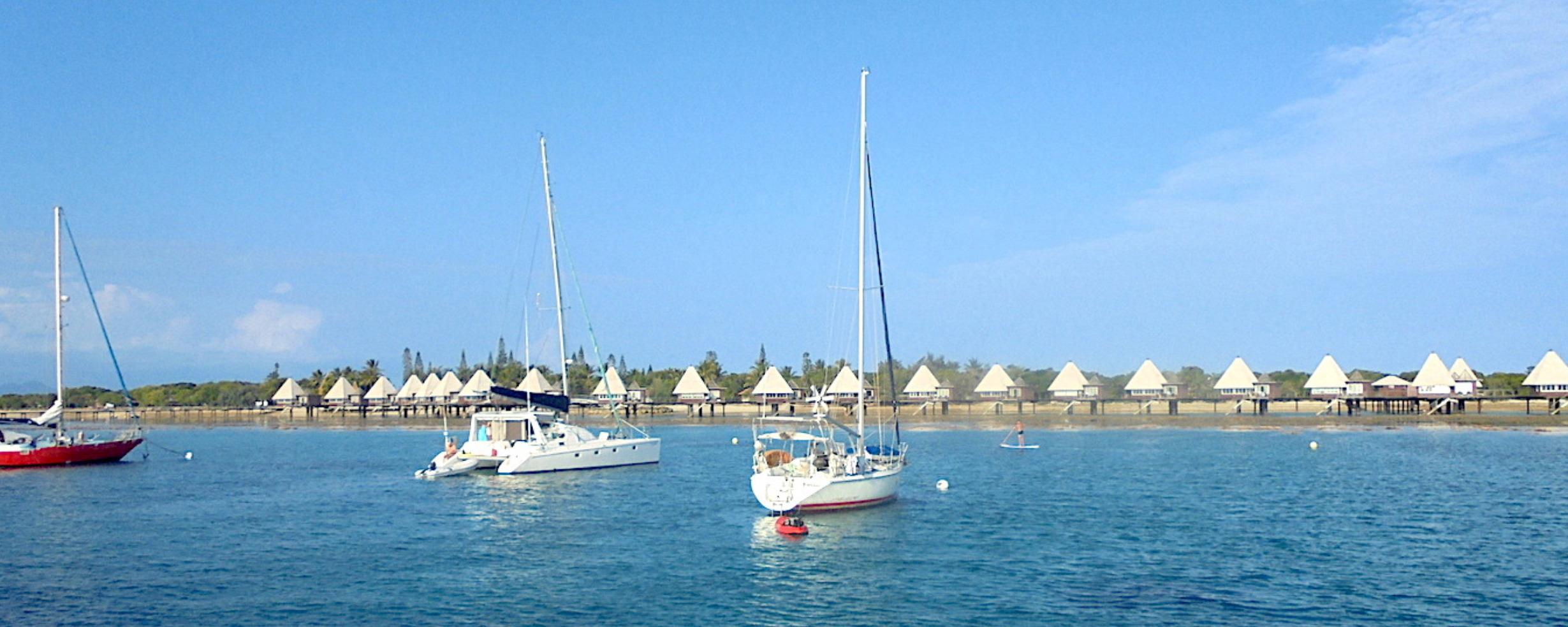
Start: Nouméa – Port Moselle (22° 18.273′ S 166° 25.913′ E).
Main port of entry, full provisioning, fuel, and formalities.
Head northwest inside the reef along the west coast.
Suggested stopovers:
Baie de Chasseloup (~30 nm, good holding in sand).
Nekoro / Poya Bay (~55 nm, several sheltered anchorages).
Continue to Koumac (20° 34.820′ S 164° 16.420′ E) — fuel, repairs, provisioning.
Cumulative distance: ~160 nm in several day hops.
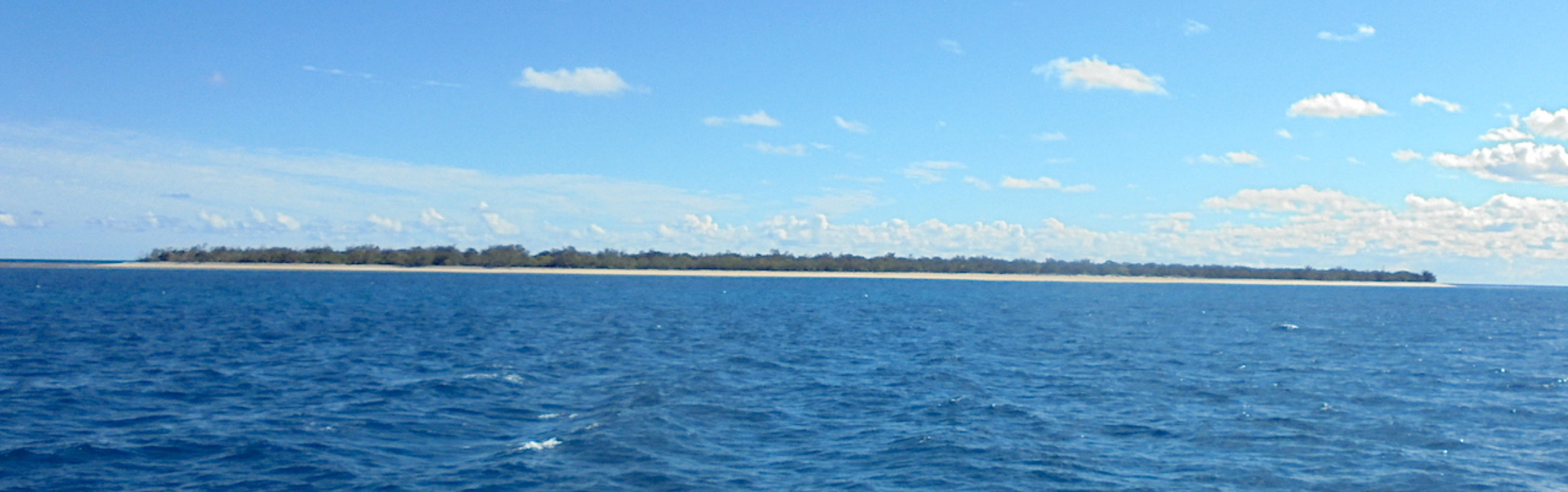
2. Koumac → Bélep Islands
Depart Koumac with stable weather, as this leg is more exposed.
Bélep (Waala, Art Island) – 19° 43.206′ S 163° 39.593′ E.
Remote, pristine anchorages, limited shelter.
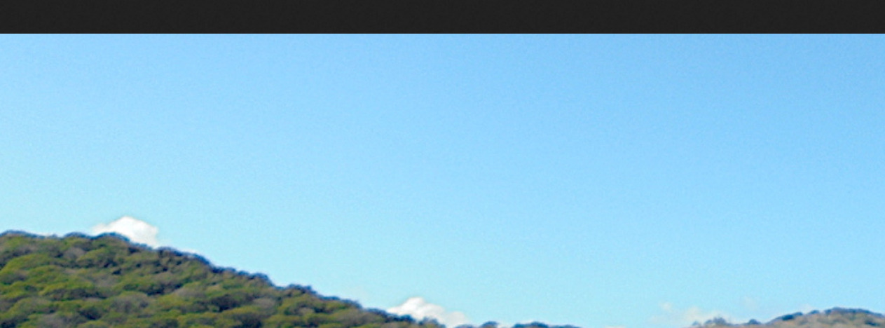
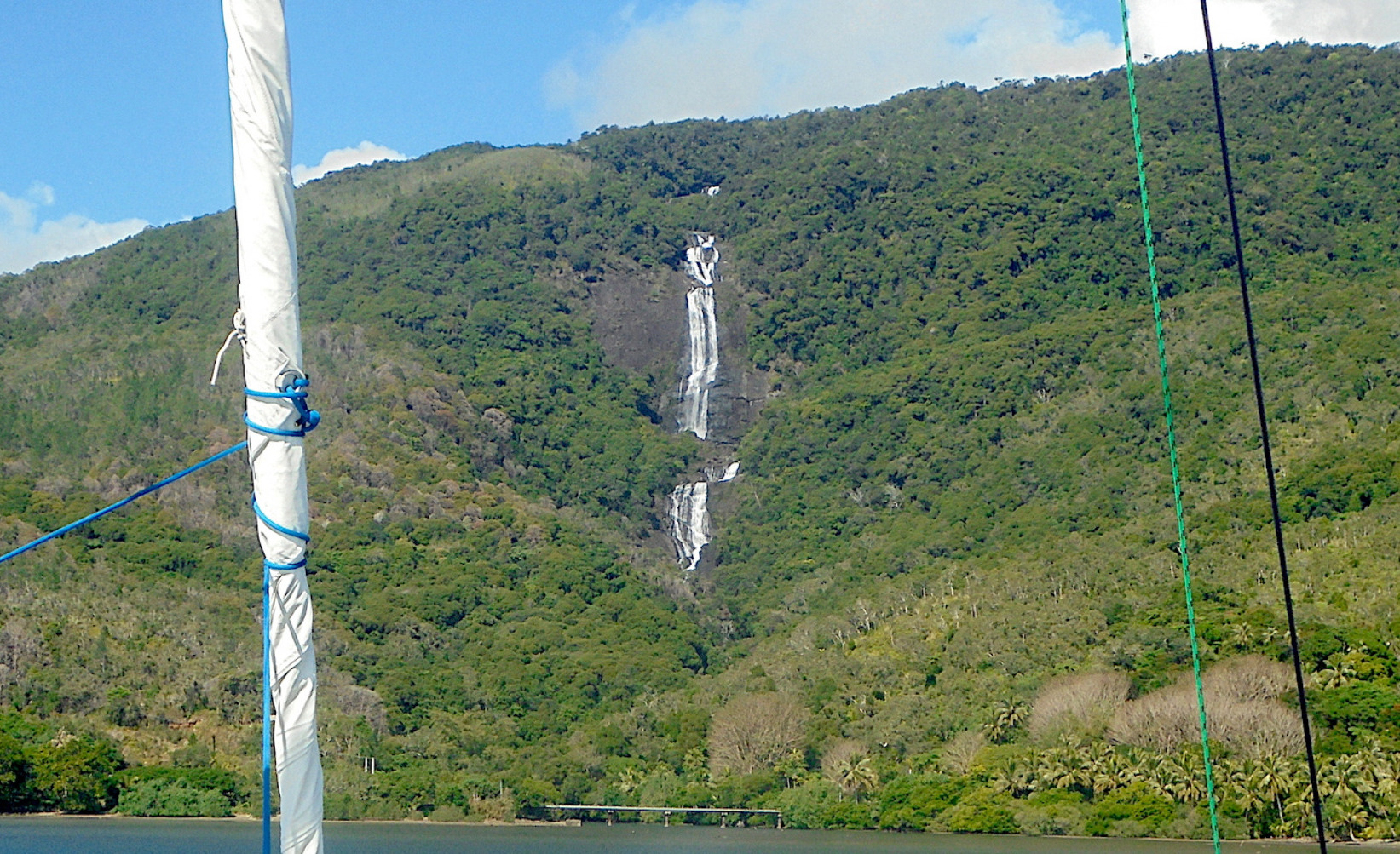
3. Bélep → North & East Coast
Turn east then southeast inside the barrier reef.
Key stopovers:
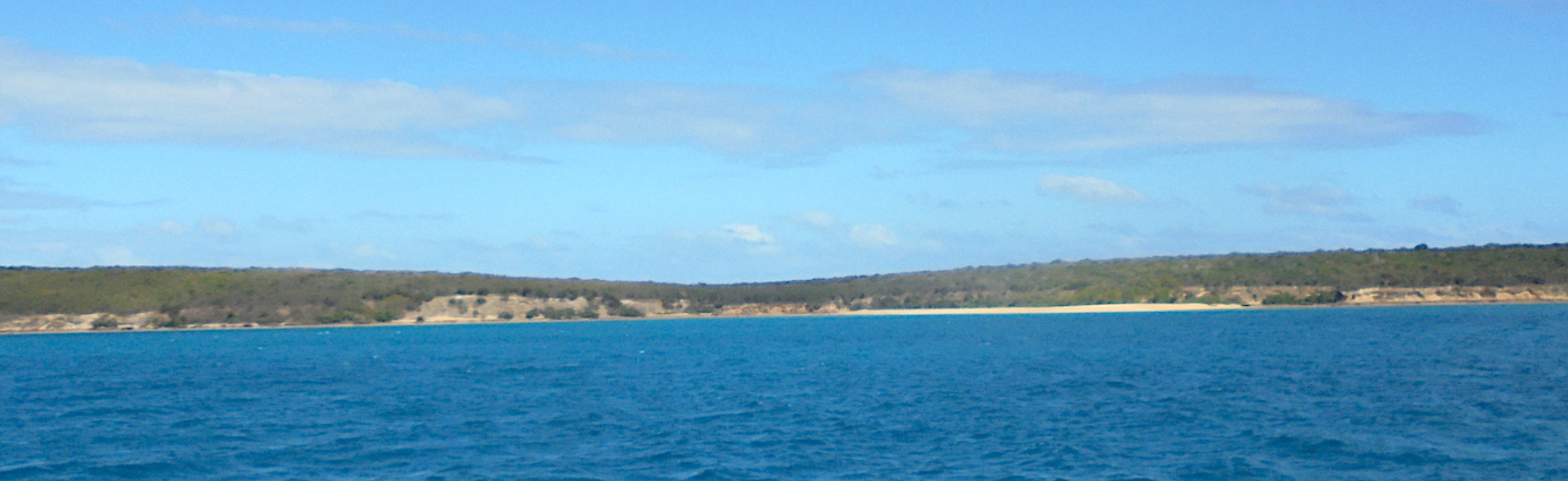
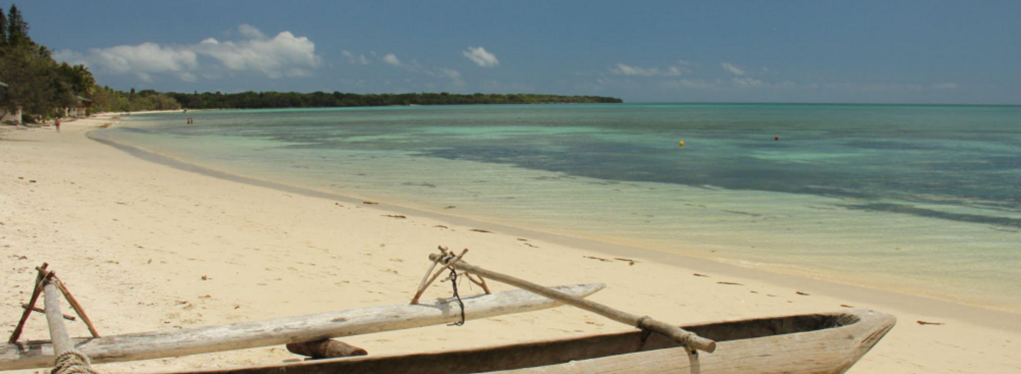
Hienghène (20° 41.000′ S 164° 56.000′ E) — dramatic limestone cliffs, good anchorage.
Poindimié (20° 56.976′ S 165° 19.758′ E) — anchorage in front of the village.
Touho / Canala — safe stops depending on wind.
Legs: 25–40 nm between anchorages.
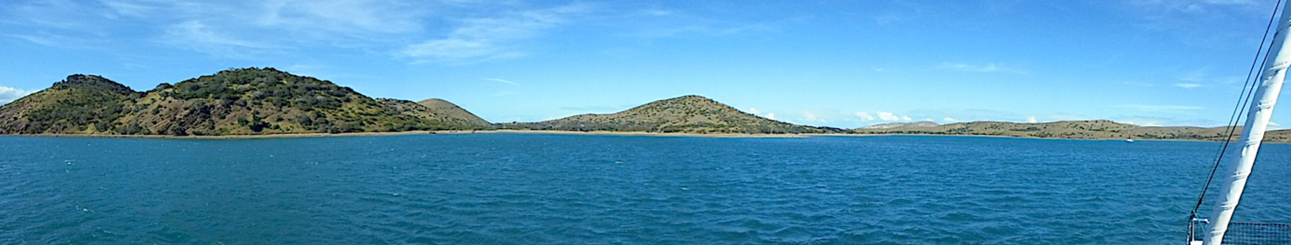
4. East Coast → Loyalty Islands
From Port Bouquet or Canala, head east across to the Loyalty Islands:
Lifou (We, Santal Bay) – 20° 55.000′ S 167° 16.000′ E.
Ouvéa (Mouli / Fayaoué) – 20° 39.999′ S 166° 31.999′ E.
Maré (Tadine) – 21° 32.610′ S 167° 52.951′ E.
Distances: 40–90 nm depending on the chosen island.
Clear waters, Kanak culture, welcoming communities.
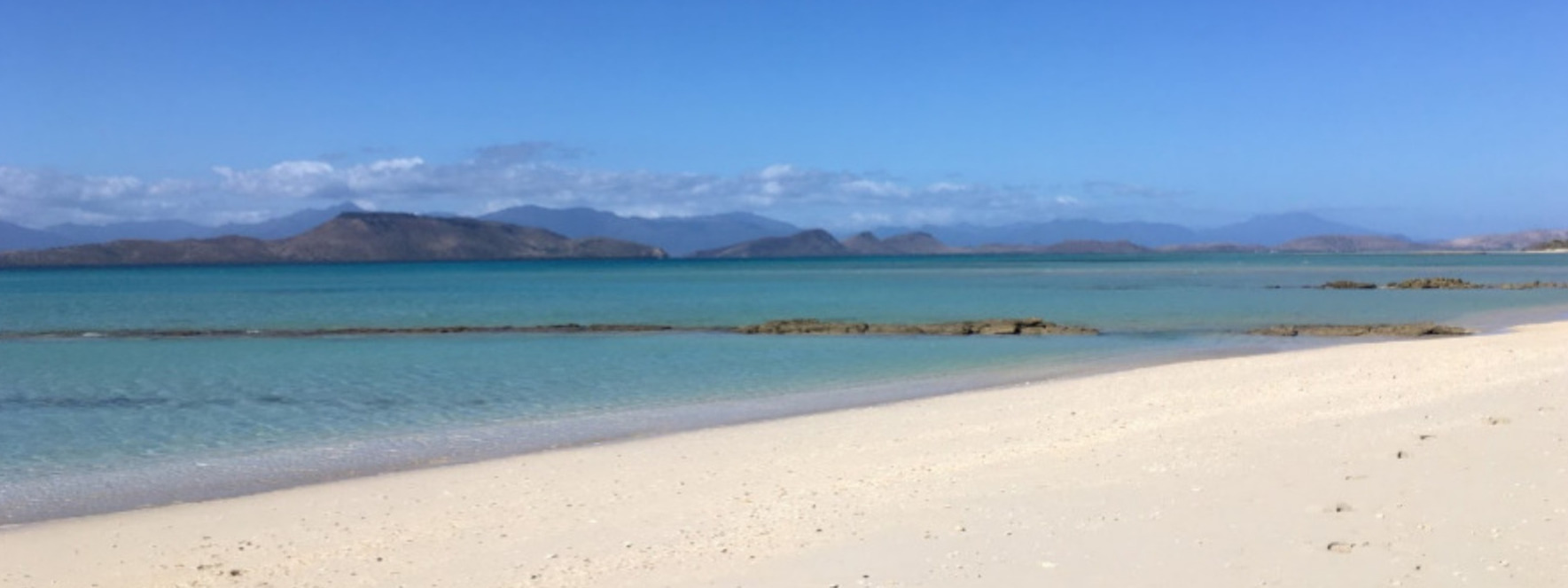
5. Loyalty Islands → Île des Pins
From Maré sail southwest to:
Île des Pins – Baie de Kuto (22° 39.430′ S 167° 26.480′ E).
Superb sand anchorage, alternate with Baie de Kanuméra if needed.
6. Île des Pins → Nouméa
Final leg: sail northwest back to Nouméa.
Pass through Havannah Pass (22° 20.283′ S 167° 03.683′ E) in slack water — strong tidal currents can reach 4–5 knots.
Return to Nouméa – Port Moselle for clearing out, resupply, and marina services.
Key Notes
Season: Best between May–October (SE trade winds, dry season). Avoid November–April (cyclone season).
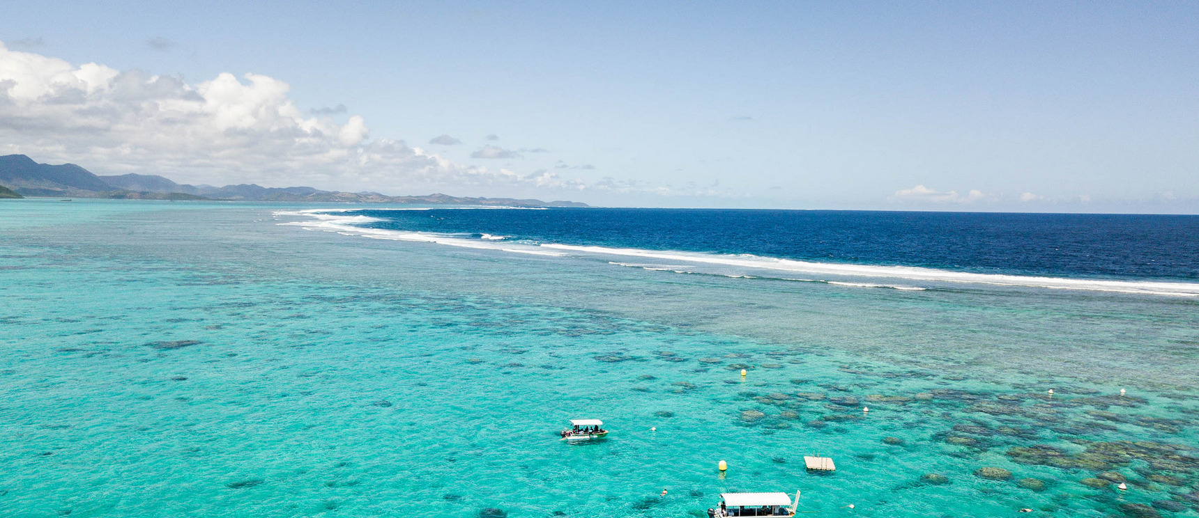
Navigation: Reef passes require daylight, sun overhead, and careful eyeball navigation.
Supplies: Nouméa and Koumac are the only strong provisioning/fuel hubs. Limited options elsewhere.
Cultural highlights: Kanak villages on the east coast and Loyalty Islands; French colonial history in Nouméa and Île des Pins.

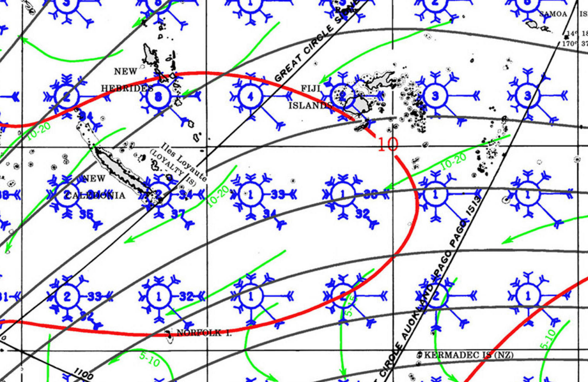
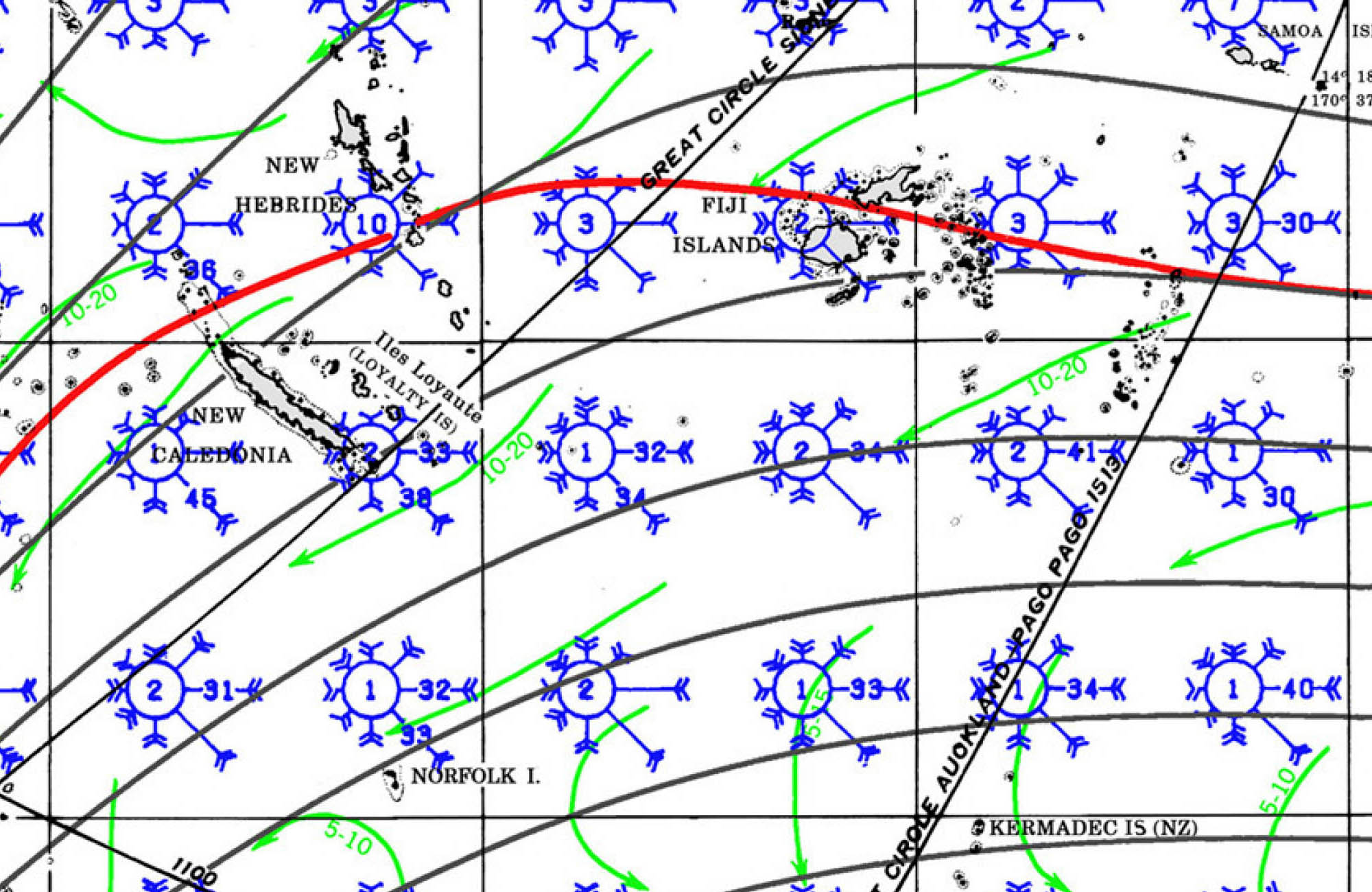
New Caledonia to Australia
The passage from New Caledonia to QLD, Australia is a common route for westbound cruisers completing a South Pacific season and heading to Australia for cyclone season. Below is an overview covering route options, timing, weather patterns, entry procedures, and navigational notes.
🧭 General Passage Overview
• Route: Nouméa (New Caledonia) to Bundaberg (Queensland, Australia)
• Distance: ~820 to 900 nautical miles depending on departure and arrival points
• Direction: West-southwest
• Time at sea: 5 to 7 days for most cruising yachts (avg. speed 5-7 knots)
• Destination port of entry: Bundaberg Port Marina (Port of Bundaberg – Biosecurity and Customs clearance available)
⛵ Recommended Timing
• Best Season: Late October to mid-November
• Why: This window is after the South Pacific cruising season and before cyclone risk increases. Weather is more stable and frontal systems in the Coral Sea are less frequent.
• Avoid: December onward due to increasing cyclone activity; also avoid departing during strong SE tradewinds or when a Tasman low is active.
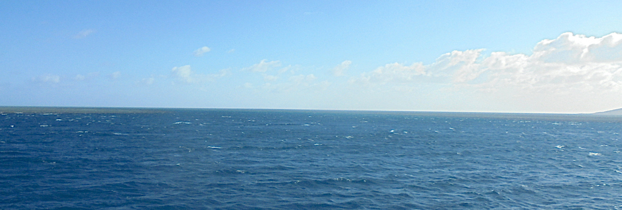
🌦 Weather & Routing Considerations
• Prevailing winds: SE tradewinds (10-25 knots)
• Typical pattern: Start with E-SE winds, often light near New Caledonia and building mid-passage; expect more variable winds approaching the Queensland coast.
• Troughs & Fronts: Watch for cold fronts sweeping up from the Tasman Sea. These can bring strong SW to NW winds and squalls.
• Recommended Routing Tool: Use Weather Routing plugin in OpenCPN or services like PredictWind or FastSeas. GRIB files essential.
🗺 Navigational Notes
• Departure Point: Nouméa (Port Moselle Marina) or Baie de Prony for a better jump-off
• Arrival Waypoint: Bundaberg Fairway Buoy (then follow river channel to marina)
• Hazards:
◦ Coral Sea can become rough with wind-over-current conditions.
◦ Avoid lingering in the Capricorn Channel in a strong southerly.
◦ Stay alert for commercial shipping lanes and fishing buoys closer to Australia.
🇦🇺 Arrival in Australia – Border Procedures
• Biosecurity: Australian Border Force and Biosecurity (DAFF) require advance notification.
• Notice of Arrival: Must be submitted 96 hours before ETA (Australian Border Force Yacht Arrival Info)
• Prohibited Items: Fresh produce, untreated wood, animal products, seeds, etc.
• First Port of Entry: You must check in at an official port — Bundaberg is one of the most cruiser-friendly with a smooth process and marina support.
⚓ Bundaberg Port
• Coordinates: 24°45.802′ S 152°23.426′ E
• Services:
◦ Biosecurity & customs clearance on-site
◦ Friendly staff accustomed to international arrivals
◦ Fuel, haul-out, chandlery, provisioning
• Nearby town: Bundaberg (short taxi ride) for groceries, banks, travel services
WEATHER FORECAST
Swell