OPEN CPN | Using Satellite Charts & Overlays
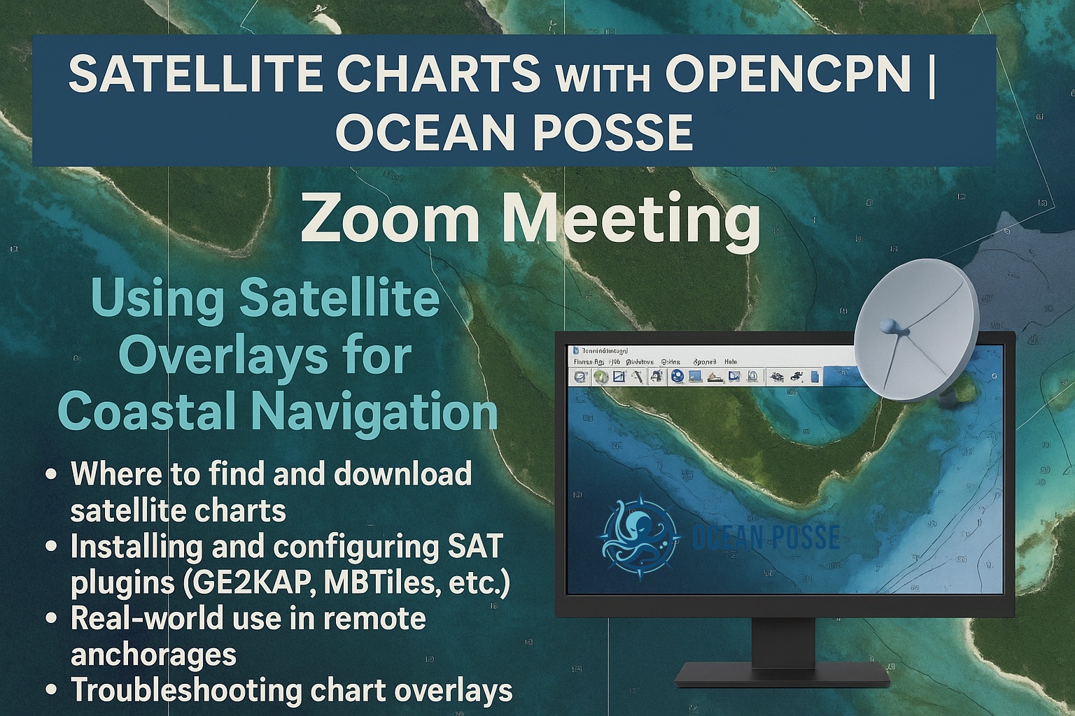
Topic: Using Satellite Overlays for Coastal Navigation
Where to find and download satellite charts
Installing and configuring SAT plugins (GE2KAP, MBTiles, etc.)
Real-world use in remote anchorages
Troubleshooting chart overlays
Topic: Using Satellite Overlays for Coastal Navigation
Where to find and download satellite charts
Installing and configuring SAT plugins (GE2KAP, MBTiles, etc.)
Real-world use in remote anchorages
Troubleshooting chart overlays
NOON 12 PM PACIFIC TIME
Join Zoom Meeting
Date
- Aug 14 2025
- Expired!
Time
- 12 : 00 PM - 18 : 00 PM
Location
- ONLINE